The challenge
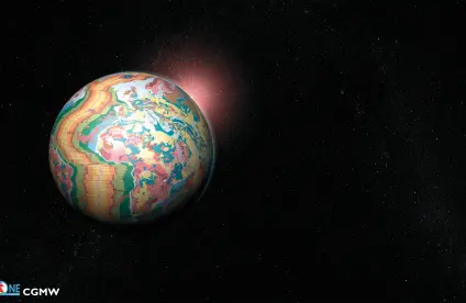
The challenge of data quantity is well known. However, the permanence and reliability of collected data and acquired knowledge are aspects that largely remain to be addressed. In particular, we need to build authoritative, interoperable repositories to improve geoscience predictive modelling. BRGM has extensive expertise in the management of geoscience reference data (e.g. OneGeology, EPOS and RGF). BRGM’s distinctive domain of expertise concerns the production, referencing and interoperability of geoscience data. To fulfil our role as a provider of information on the status of the ground and subsurface, we now need to develop our capacity to mobilise, access, process and combine other types of data from a broader spectrum of sources.

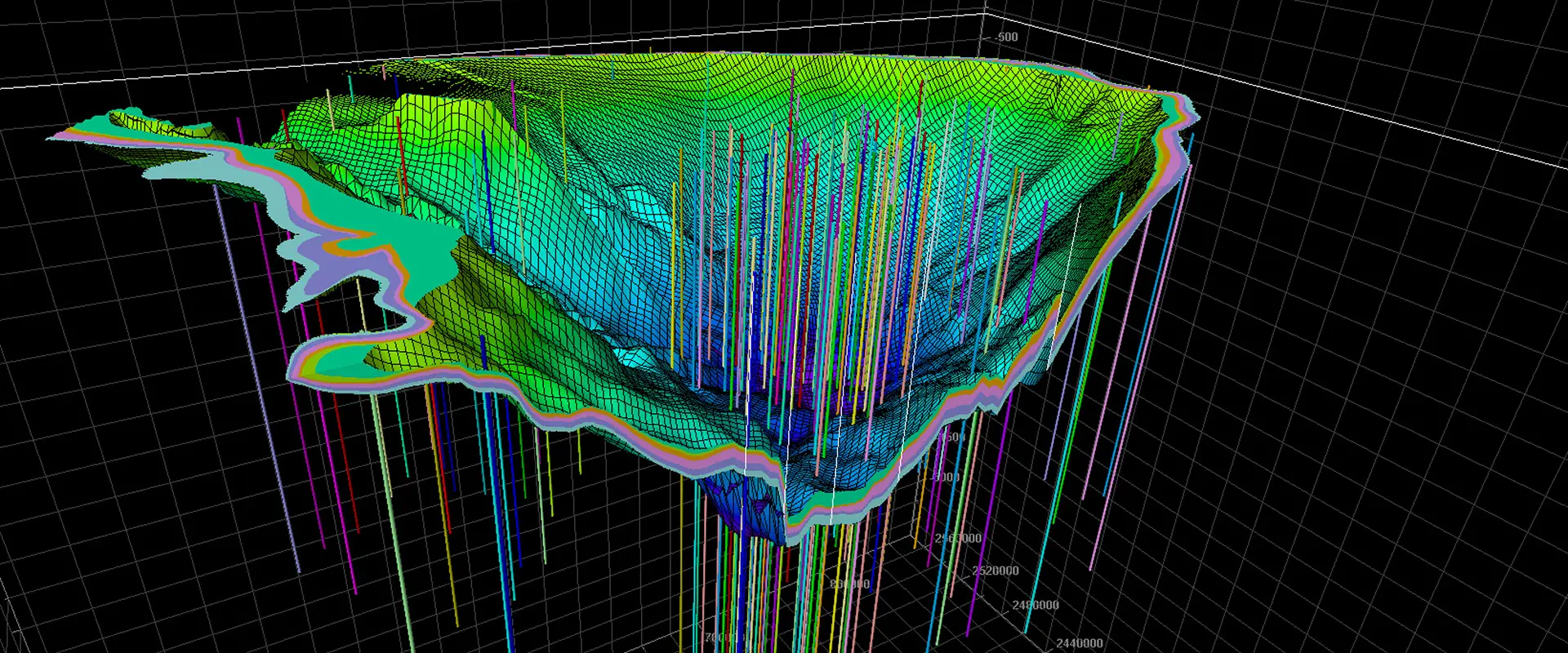
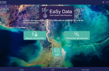
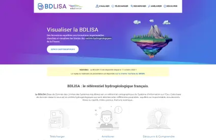
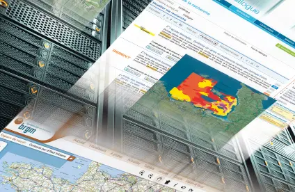
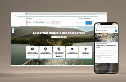
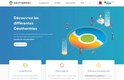
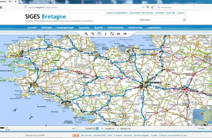
BRGM geoscientific databases and data dissemination websites.
© BRGM
The ambition of BRGM
BRGM must consolidate its position as a leading French and European institution for managing the geoscience and environmental data cycle in the context of widespread adoption of open science and data policies and the rising influence of our stakeholders – academia, industry and citizens. The “digital data, services and infrastructure” programme addresses a key science challenge: to adapt the new data science concepts and tools to Earth and environmental sciences.
Our solutions
Latest news
Our references and projects
Results and data
Websites, apps and databases
Discovering the Earth Sciences

Scientific programme: Digital data, services and infrastructure
This programme is special for the research we carry out, as it focuses on digital science while supporting our seven other science programmes. Our major research challenge is to be at the cutting edge of embedding digital science innovation across BRGM’s work solving geoscience problems.
While this science challenge area tackles a variety of issues, its main focus lies in the geoscience and environmental data cycle, including the production of geoscience repositories and tools linked to those developed in other sectors, as well as data science applications, including services and predictive models.
Structure the data information system, from data collection to capitalisation, in a context of increasing data heterogeneity and influx
The French and European strategies for research data infrastructures (European Strategy Forum on Research Infrastructures, ESFRI) are an opportunity for BRGM to strengthen its leadership in the infrastructure programmes that are being set up (e.g. the European EPOS and the French Data Terra programmes). We will provide the required skills and tools for the development and management of a data infrastructure based on BRGM’s data centre. We will continue the integration of methods and tools to provide scientists with the resources they need throughout the data cycle.
We will ensure that all data produced or acquired is managed across all of BRGM’s activities to deliver services based on these resources. Our approach aims to be as cross-cutting as possible so that we can gradually bring down the barriers between data production streams. This also means that we need to develop and implement mechanisms to "enrich" data throughout their life cycle.
Research priorities
- Developing mechanisms for integrating unstructured data (e.g. scientific literature and field notes) into information systems, enabling the extraction of knowledge from these data.
- Developing methods for acquiring and adding to metadata throughout the data life cycle, in particular through assisted methods in processing tools.
- Improving tools for tracking the qualification, interpretation and filtering of data throughout processing operations.
Develop geoscience data and knowledge repositories to better respond to the wide range of challenges and stakeholder needs
We need to provide access to the available subsurface data, information and knowledge at any geographical point in France for each of BRGM’s themes and domains of expertise. To enable the data produced internally in different disciplines to be compatible with other types of data produced by other entities, we must continue to apply the interoperability approach we embarked on more than fifteen years ago. In practice, we will concentrate on identifying or determining in each domain the repository essentials (e.g. shared concepts and ontologies, terminology and registers) and unique identifier practices to exploit these data using linked data techniques.
We will also develop links between geo-environmental and building data (Building Information Modelling) by taking part in joint standardisation efforts.
Research priorities
- Creating interoperable surface and subsurface repositories, ensuring all reference data can be made available for each geographical location.
- Mechanisms for integrating subsurface repositories with other repositories (e.g. urban systems).
- Semantic interoperability mechanisms related to BRGM's thematic areas.
Invest in data science tools and methods to improve geoscience predictive modelling, increase the production of knowledge and develop digital services
We will need to take these new tools on board in order to develop new approaches and improve the efficiency of traditional approaches concerning prediction, weak signal detection and sensitivity studies. We will explore issues of confidence and uncertainty in relation to these methods and their potential for informed decision-making.
Research priorities
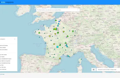
- Building blocks for predictive services, possibly in real time, using data science techniques based on models validated by "traditional" methods (e.g. MetéEauNappes).
- Confidence and "interpretability" of predictive models produced by data science by working on the "explainability” of results.
- Taking uncertainty fully into account in modelling results by using methods analysing the sensitivity of models to the variation of input parameters through big data approaches.

