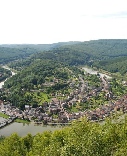
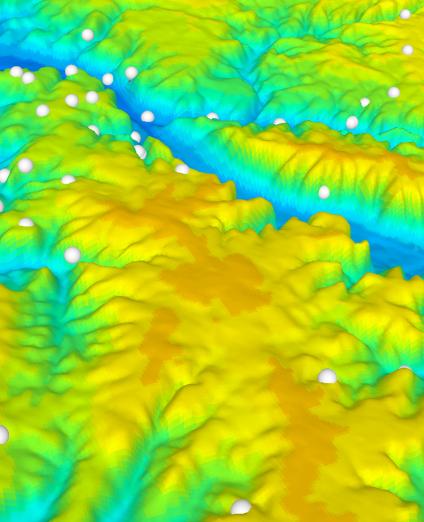
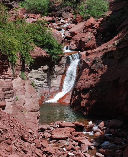
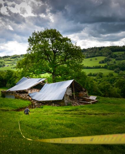
La rivière des Jonquilles, Corrèze
Change the text size
Website accessibility
  • fr
  • en
La rivière des Jonquilles, Corrèze
InfoTerre
The portal for access to BRGM geoscientific data
BRGM Job offers
Join the French geological survey
Annual report
BRGM's highlights and key results.
BRGM History
History of the BRGM, the French geological survey
Operational post-mining
Mine safety and risk prevention
Other websites
  • RGF - French Geological Reference Platform
  • ADES - Groundwater data access portal
  • Géorisques - A portal to better understand the risks in France
  • Géothermies - All about geothermal energy
  • Minéralinfo - The French portal for non-energy mineral resources
  • BRGM Training - Continuing professional training
  • HAL-BRGM - BRGM's scientific publications
All websites
BRGM logo with the French Republic logo
French
geological
survey
La rivière des Jonquilles, Corrèze
  • Public partner, local government
    Public partners: BRGM at your side
    Expert studies
    Our solutions
    French regional network
    References and projects
    Public reports
    Scientific publications
    Websites, apps and databases
    Contacts
  • Company
    Working with the BRGM, a guide
    Innovation and transfers
    Our solutions
    References and projects
    Laboratories and technological platforms
    Continuing professional training
    Websites, apps and databases
    Becoming a BRGM supplier
    Contacts
  • Researcher
    Scientific research
    Public reports
    Scientific publications
    References and projects
    Laboratories and technological platforms
    Websites, apps and databases
    Books and geological maps
    Continuing professional training
    Doctorates and post-doctorates
  • Student
    Higher education
    Jobs and careers
    Doctorates and post-doctorates
    Work-study contracts and internships
    Websites, apps and databases
    Books and geological maps
    Public reports
    Scientific publications
    News
  • Teacher, pupil
    Discovering the Earth Sciences
    Lumni Enseignement, BRGM's educational resources
    Higher education
    Websites, apps and databases
    Books and geological maps
    Public reports
    Scientific publications
    News
  • Journalist
    News and press releases
    Events
    References and projects
    Public reports
    The BRGM at a glance
    Newsletter
    Press desk
  • Citizen's group, citizen
    News
    Events
    Jobs and careers
    The BRGM at a glance
    French regional network
    Discovering the Earth Sciences
    Undertakings
    Newsletter
    Results and data
La rivière des Jonquilles, Corrèze
  • Challenges
    Challenges
    • Geology and knowledge of the subsurface
    • Groundwater management
    • Risks and spatial planning
    • Mineral resources and the circular economy
    • Subsurface potential for the energy transition
    • Digital data, services and infrastructure
  • Activities
    Activities
    • Scientific research
    • Expert studies
    • Innovation and transfers
    • Analysis and experimentation
    • Mine safety and risk prevention
    • Higher education
    • Continuing professional training
    • Knowledge dissemination and open science
  • Becoming a partner or client
    Becoming a partner or client
    • Companies: working with the BRGM, a guide
    • Public partners: BRGM at your side
    • Our solutions
    • Laboratories and technological platforms
    • Becoming a BRGM supplier
  • Identity
    Identity
    • The BRGM at a glance
    • Strategy
    • Governance
    • History
    • Undertakings
    • Subsidiaries and holdings
  • Results and data
    Results and data
    • References and projects
    • Public reports
    • Scientific publications
    • Software
    • Websites, apps and databases
  • In France and worldwide
    In France and worldwide
    • French regional network
    • Europe
    • International
  • News
  • Events
  • Educational area
  • State of groundwater
  • Jobs and careers
  • BRGM Publications
  • Newsletter
  • Contacts
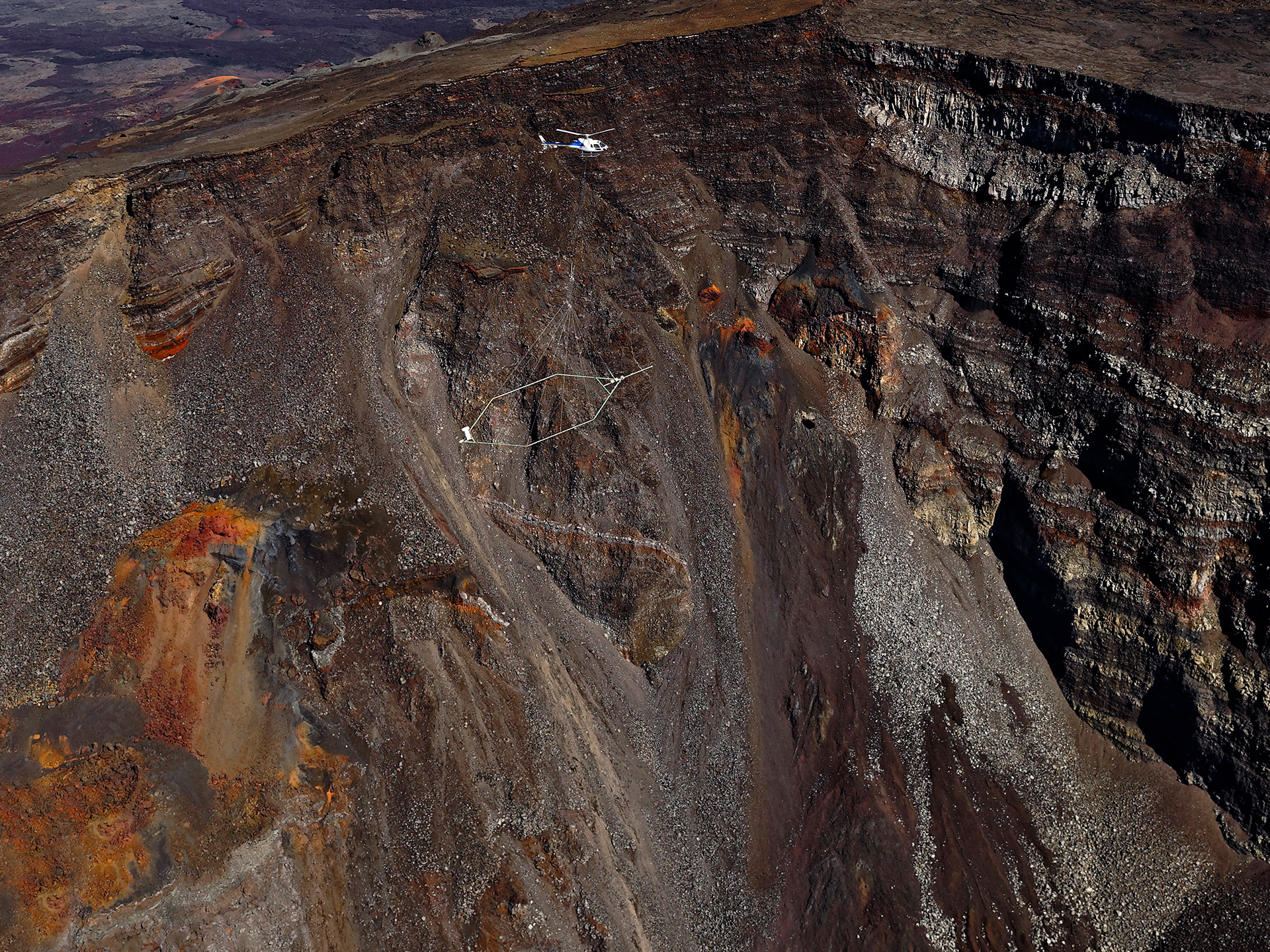
ReunEM helicopter-borne geophysics campaign in Reunion Island

France’s reference public institution for Earth Science applications

BRGM at a glance
Geology and knowledge of the subsurface
Groundwater management
Risks and spatial planning
Mineral resources and the circular economy
Subsurface potential for the energy transition
Digital data, services and infrastructure

News

Trophées des Prix BRGM 2022.
News
Outstanding achievements: BRGM 2022 awards
Every year, BRGM awards prizes to highlight the outstanding achievements of the group's employees. Four prizes were awarded for the year 2022.
2 February 2023
Formation exclusive 100% e-learning "Géologie et géotechnique de projet d'aménagement" avec BRGM Formation.
News
BRGM Formation presents its range of training courses for 2023 and develops its e-learning offer
20 January 2023
Carte de France de la situation des nappes au 1er janvier 2023.
Press release
Groundwater tables on 1 January 2023
13 January 2023
Aerial view of the facilities at the Bouillante geothermal plant
Article
Developing geothermal energy to improve the Caribbean's energy independence
13 January 2023
All our news

Events

Reverse Circulation (RC) exploration drilling, Guinea
6
feb
2023
9
feb
2023
Cape Town, Africa
Conference
Investing in African Mining Indaba 2023
Geological map of France
13
feb
2023
Paris (CNRS)
Conference
Launch of the research programme "The subsurface, a common good"
Mining exploration campaign, Guinea
5
mar
2023
8
mar
2023
Toronto, Canada
Trade Fair
PDAC 2023
The Soultz-sous-Forêts geothermal site
24
may
2023
26
may
2023
Montpellier
Conference
FEET 2023 – Forum for the low-carbon circular economy and the energy transition
All our events

Solutions

Architecture profonde du massif des Vosges confronté à des données géophysiques, réalisé sous Geomodeller 3D (2013).
Software
GeoModeller: the 3D geological modelling software
The GeoModeller software is used to define the 3D geological architecture (lithologies and faults) of an area, using data of different types and formats (maps, cross-sections, boreholes, geophysical …
BRGM's PRIME platform in Orléans. A plurimetric experimental pilot
Laboratory, technological platform
PRIME: an innovative test laboratory for soil and water decontamination
In France, more than 7,200 sites are contaminated by heavy metals, such as lead, copper and chromium, as well as by hydrocarbons and organochlorine compounds, which include pesticides and solvents. D…
Extract from the French Geological Reference Platform geological map of the Pyrenees
Website
Lumni Enseignement - Educational resources for teachers and students
The Lumni Enseignement platform provides primary and secondary school teachers and their pupils with a wide range of educational resources from public partners (public media and cultural and scientif…
Water abstractions, Reunion Island
Website
Naïades: data on surface water quality
It is easy to find measurement data on the quality of rivers and water bodies via the Naïades website. Surface water-quality monitoring includes different types of data such as hydrobiology, hydromor…
Zone Euroméditerranée II, opération de rénovation urbaine menée avec le BRGM près du Vieux-Port de Marseille
Website
ORACLES
ORACLES is a multidisciplinary ANR project, set up to address the operational need to plan for coastal flooding. It is studying challenges relating to the production, interpretation and visualisation…
Flooding of the Seine at Triel-sur-Seine, Yvelines
Website
RéSoCIO - Exploiting social networks during natural disasters
The ANR RéSoCIO project aims to demonstrate the value and feasibility of setting up automated tools and a process to exploit data from the social network Twitter that can be used during crises caused…
All our solutions

References and projects

Bidart beach, Pyrénées-Atlantiques
Programme
The iRiMa programme: structuring and reinforcing the science of risk prevention and management in France
23 January 2023
Geological map of France
Programme
The subsurface as a common good: a research programme for the responsible and sustainable use and exploitation of the subsurface
20 January 2023
Campagne d’acquisition sismique très haute résolution sur le plateau insulaire guadeloupéen (Guadeloupe, 2021).
Reference, completed project
Characterisation of sandy stocks on the Guadeloupean island shelf for beach nourishment
3 January 2023
All our references

French regional network

Our regional network

BRGM online

3D scan of an underground cavity as part of a stability diagnosis
Newsletter
Subscribe to the newsletter
Contacts and access
Contacts
Press desk
Access maps
Follow us
  • Accessibility
  • Legal information - Credits
  • Personal data protection
  • Cookie management
  • Access to administrative documents
  • RSS feeds
BRGM logo with the French Republic logo
Logo Certification ISO 9001 et 14001 Logo EuroGeoSurveys Logo AllEnvi
BRGM - 3 avenue Claude-Guillemin - BP 36009 45060 Orléans Cedex 2 - France - Tel.: +33 (0)2 38 64 34 34
Newsletter

Subscribe to our newsletter and receive our news every month!