The need
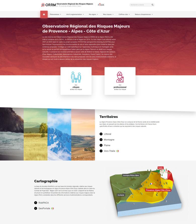
The ORRM website was launched in 2014 to combine the efforts of the regional network of stakeholders (the State, regional and local authorities, associations, industry players, insurers and the general public) involved in the management of major risks. The website is accessible to all users, but it allows privileged access to some groups, depending on whether the user is logged in as a citizen or a professional stakeholder. Since 2020, the sections and content of the ORRM website were fully restructured.
The results
Through the new sections of the website and links to existing institutional websites, citizens can now get involved in the prevention of major risks. The "My Region" section highlights the current approaches to partnership, along with key initiatives to promote risk awareness and develop works and knowledge. It complements the information already available on the behaviour that should be adopted, the regulatory risk prevention framework and the role of the various stakeholders and it sets out key figures relating to the progress of the tools in use and ongoing programmes. Finally, it ensures interoperability with activities in Italy by providing access to Italian press cuttings on key events and direct access to the Piedmont Region's Geoportale mapping portal.
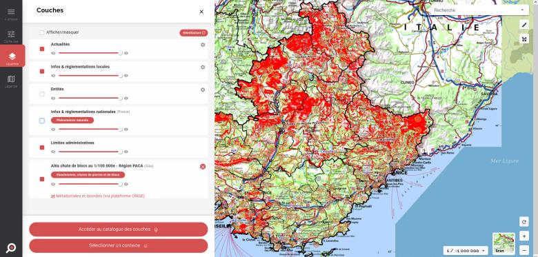
The RiskPACA mapping tool is an integral part of the ORRM PACA. With this tool, you can view all the cartographic data on natural hazards in the PACA region that are available on different platforms. The tool can be used to find out the risk status of a given area, the available information risk prevention documents, news about past events in each municipality and any existing thematic maps. This redesign has provided an opportunity to upgrade the website functionalities. Now data can only be accessed and viewed via interoperable feeds, thereby ensuring that the data are always up to date. The new tool also provides access to predefined contexts, guiding users towards simplified and suitably sorted views.
Using the results
As mentioned on the ORRM presentation page, the two main principles of the website can be summed up as follows: encouraging citizens to adopt an active role in preventing major risks and adapting the areas of observation to take account of changes and local needs. ORRM PACA has now become a tool for sharing knowledge and experience of natural and technological phenomena in the region, particularly on the Alpine border with Italy. It also publicises the national policy on natural risk prevention and provides more general information on the partnership approaches that contribute to risk prevention. Finally, it provides unrestricted access to an interactive map showing geo-referenced risk data.
The partners
- ALCOTRA 2021-2024 INTERREG European Regional Development Fund
- Provence-Alpes-Côte d'Azur Regional Environment, Planning and Housing Directorate (DREAL PACA)
- Sud Region


