La rivière des Jonquilles, Corrèze
Change the text size
Website accessibility
  • fr
  • en
La rivière des Jonquilles, Corrèze
InfoTerre
The portal for access to BRGM geoscientific data
BRGM Job offers
Join the French geological survey
Annual report
BRGM's highlights and key results.
BRGM History
History of the BRGM, the French geological survey
Operational post-mining
Mine safety and risk prevention
Other websites
  • RGF - French Geological Reference Platform
  • ADES - Groundwater data access portal
  • Géorisques - A portal to better understand the risks in France
  • Géothermies - All about geothermal energy
  • Minéralinfo - The French portal for non-energy mineral resources
  • BRGM Training - Continuing professional training
  • HAL-BRGM - BRGM's scientific publications
All websites
BRGM logo with the French Republic logo
French
geological
survey
La rivière des Jonquilles, Corrèze
  • Public partner, local government
    Public partners: BRGM at your side
    Expert studies
    Our solutions
    French regional network
    References and projects
    Public reports
    Scientific publications
    Websites, apps and databases
    Contacts
  • Company
    Working with the BRGM, a guide
    Innovation and transfers
    Our solutions
    References and projects
    Laboratories and technological platforms
    Continuing professional training
    Websites, apps and databases
    Becoming a BRGM supplier
    Contacts
  • Researcher
    Scientific research
    Public reports
    Scientific publications
    References and projects
    Laboratories and technological platforms
    Websites, apps and databases
    Books and geological maps
    Continuing professional training
    Doctorates and post-doctorates
  • Student
    Higher education
    Jobs and careers
    Doctorates and post-doctorates
    Work-study contracts and internships
    Websites, apps and databases
    Books and geological maps
    Public reports
    Scientific publications
    News
  • Teacher, pupil
    Discovering the Earth Sciences
    Lumni Enseignement, BRGM's educational resources
    Higher education
    Websites, apps and databases
    Books and geological maps
    Public reports
    Scientific publications
    News
  • Journalist
    News and press releases
    Events
    References and projects
    Public reports
    The BRGM at a glance
    Newsletter
    Press desk
  • Citizen's group, citizen
    News
    Events
    Jobs and careers
    The BRGM at a glance
    French regional network
    Discovering the Earth Sciences
    Undertakings
    Newsletter
    Results and data
La rivière des Jonquilles, Corrèze
  • Challenges
    Challenges
    • Geology and knowledge of the subsurface
    • Groundwater management
    • Risks and spatial planning
    • Mineral resources and the circular economy
    • Subsurface potential for the energy transition
    • Digital data, services and infrastructure
  • Activities
    Activities
    • Scientific research
    • Expert studies
    • Innovation and transfers
    • Analysis and experimentation
    • Mine safety and risk prevention
    • Higher education
    • Continuing professional training
    • Knowledge dissemination and open science
  • Becoming a partner or client
    Becoming a partner or client
    • Companies: working with the BRGM, a guide
    • Public partners: BRGM at your side
    • Our solutions
    • Laboratories and technological platforms
    • Becoming a BRGM supplier
  • Identity
    Identity
    • The BRGM at a glance
    • Strategy
    • Governance
    • History
    • Undertakings
    • Subsidiaries and holdings
  • Results and data
    Results and data
    • References and projects
    • Public reports
    • Scientific publications
    • Software
    • Websites, apps and databases
  • In France and worldwide
    In France and worldwide
    • French regional network
    • Europe
    • International
  • News
  • Events
  • Educational area
  • State of groundwater
  • Jobs and careers
  • BRGM Publications
  • Newsletter
  • Contacts
Aerial view of the sandstone of the Bungle Bungle range, Australia
Breadcrumb
  • Home
  • Results and data
  • Software

Software

BRGM has developed a range of software for geoscience applications, now used in 65 countries.
Reset
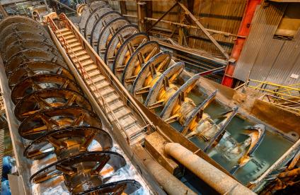
Usine d'extraction et de traitement
Software
BILCO, software for data reconciliation by mass balance
BILCO is a software for data reconciliation by mass balance. It allows to obtain an instantaneous image of a process and to quickly provide solutions for material flow management problems.
Alpine groundwater resurgence in the Cirque de Choranche, Isère
Software
CATHERINE software for analysing River/Groundwater influences
CATHERINE, developed by the BRGM, analyses simultaneous variations in the levels of a river and an adjacent aquifer.
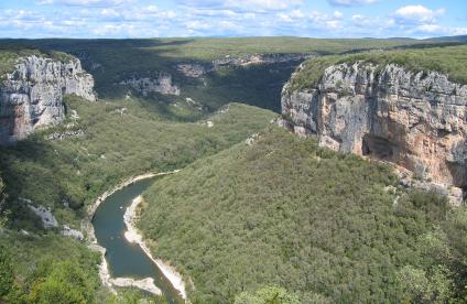
The Ardèche Gorges between Vallon-Pont-D'arc and Pont-Saint-Esprit
Software
Conexmin: calculation of the influence of alluvial aquifer pumping on the flow-rate of a watercourse
Conexmin is a tool which calculates the ratio of the volume abstracted from a river to the volume taken from the pumping well, based on the characteristics of the alluvial aquifer, the distance from the well to the river and the pumping time.
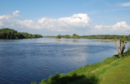
The River Loire, Orléans
Software
DEPJAU: River gauge analysis and flow rate calculation
DEPJAU (for Dépouillement des jaugeages meaning "gauge measurements analysis") uses river gauge data to calculate the flow rate deduced from flow velocity measurements made in different profiles on a transect.
Electronic and electrical waste, Orléans
Software
ECHANT, software for sampling calculation
ECHANT is a calculation software used in the design of sampling protocols and campaigns. It allows to calculate the fundamental sampling error.
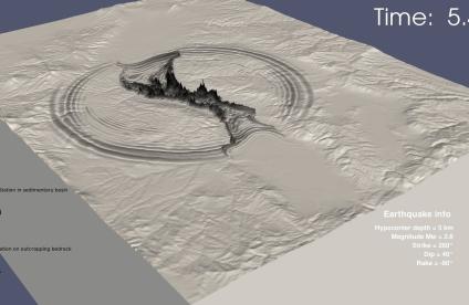
Simulation d’un séisme
Software
EFISPEC3D: numerical ground motion predictions for seismic risk assessments
EFISPEC3D is mainly used to simulate wave propagation in complex geological environments, especially for earthquake applications. The software can also be used more generally to solve problems governed by the equation of motion in three dimensions.
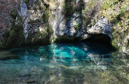
La Source bleue, Doubs
Software
ÉROS: a semi-global hydrological modelling application for a catchment area divided into sub-basins
Developed by BRGM, the ÉROS software is used for hydrological modelling of rainfall,river flow rate and groundwater table levels of a heterogeneous catchment area divided into sub-basins.
La rivière des Jonquilles, Corrèze
Software
ESPERE: estimating effective rainfall and aquifer recharge by different methods
ESPERE is designed for rapid simultaneous calculations using up to ten different methods for estimating aquifer recharge or effective rainfall.
Spring water
Software
GARDENIA: for lumped hydrological modelling of a catchment basin
GARDENIA is an application developed by the BRGM for lumped hydrological modelling of a catchment basin via the rainfall/river flow/groundwater level budget.
A nickel deposit. 3D view in the geological model and display of core samples 
Software
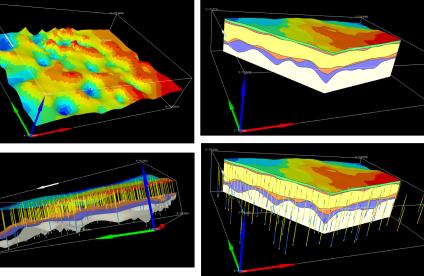
GDM Suite: a software suite allowing to model, represent and visualize geoscientific data and geological model in 3D
The GDM Suite has been developed by the BRGM to manage, display and model geological data, in various fields: geology, town and country planning, water resources, pollutions, natural hazards, mineral resources, geotechnique, geothermal energy...
Architecture profonde du massif des Vosges confronté à des données géophysiques, réalisé sous Geomodeller 3D (2013).
Software
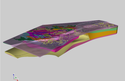
GeoModeller: the 3D geological modelling software
The GeoModeller software is used to define the 3D geological architecture (lithologies and faults) of an area, using data of different types and formats (maps, cross-sections, boreholes, geophysical surveys, hydrogeological data, etc.), which can be modified at any time.
Safety and pressure monitoring apparatus placed over the wellhead
Software
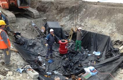
GesFor software for drilling professionals
GesFor is a BRGM software package for drilling professionals and is supplied free of charge.

Pagination

  • Current page 1
  • Page 2
  • Next page
  • Last page
3D scan of an underground cavity as part of a stability diagnosis
Newsletter
Subscribe to the newsletter
Contacts and access
Contacts
Press desk
Access maps
Follow us
  • Accessibility
  • Legal information - Credits
  • Personal data protection
  • Cookie management
  • Access to administrative documents
  • RSS feeds
BRGM logo with the French Republic logo
Logo Certification ISO 9001 et 14001 Logo EuroGeoSurveys Logo AllEnvi
BRGM - 3 avenue Claude-Guillemin - BP 36009 45060 Orléans Cedex 2 - France - Tel.: +33 (0)2 38 64 34 34
Newsletter

Subscribe to our newsletter and receive our news every month!