GDM Software Suite offers tools for geosciences and land planning professionals to model, exploit and make full use of geoscientific data and geological models:
- 3D geological model building from geological data (boreholes, geological maps, geological cross-sections, interpreted geophysical profiles…)
- Geostatistical analysis and interpolation of variables (top of a formation, water table level, pollutant concentration…)
- Data consistency control
- Representation of data and models with well logs, maps, cross-sections and 3D views either with GDM, ArcGIS or on the Web
The GDM Suite includes the following items:
- GDM Standard
- GDM MultiLayer
- GDM Viewer
- GDM ArcGIS
- GDM Web Services
Examples of GDM uses
Train yourself to use GDM
BRGM Training is offering a training course entitled "Geological data management with GDM Standard (© BRGM) - Introduction to geological modelling".
Intended for engineers, technicians and soil and subsoil data managers (the state, local authorities, manufacturers and design consultancies), this training course can be provided regionally, internationally and within companies.
The advantages of this training course
Overview of the numerous features of GDM: this software has a wide range of uses enabling you to process your data relating to geology, land use planning, water resources, pollution, natural hazards, mineral resources, geotechnics, geothermal energy, etc.
Access to the GDM software following the training course: GDM licence for one month.
To find out more

GDM Standard: Data representation and modelling
GDM Standard includes all the standard features of the GDM Suite.
Description of the GDM Standard
GDM Standard is used to display and model geological data with X, Y and Z coordinates:
- of all types: wells or boreholes, punctual data, geological boundaries, faults, samples, grids
- in any form: geological codes, descriptive texts, analysis results, diagraphs, images.
GDM Standard will directly handle data in Text (CSV) / Excel / Access / Oracle / SQL Server / PostgreSQL.
GDM Standard produces high-quality graphs:
- 1D: multi-column sampling logs
- 2D: maps, vertical cross-sections (along straight lines or broken lines) with several graphic layers
- 3D: all GDM objects that can be represented in 3D, with system back-up of the different views
- "inter-view" system for parallel location of data in the 1D, 2D and 3D views
- interactive graphs to consult, from the graph, the information on a given data point, sample, grid node, etc.
- export of 1D and 2D in vector mode for incorporation into your documents with no loss of resolution
- export of 3D views in raster mode
- mass export of drill hole logs and serial cross-sections
- Your customers can view 1D, 2D and 3D documents in their original format using the free GDM Viewer
GDM Standard enables geological modelling and interpolation of a wide array of parameters:
- automatically (interpolation)
- using geostatistical or other interpolation methods
- with faults and boundaries
- by computing composites along core samples (mineralised seam, cross-section of polluted ground, facies proportion, etc.)
- manually by digitisation onto maps and cross-sections
Results are displayed as isovalue curves, cross-sections or possible calculated volumes.
Fields of application of GDM Standard
GDM Standard Edition has applications in different fields of the geosciences:
- water resource management,
- geotechnics, design of tunnels, dams or underground storage sites,
- Land and urban planning,
- mineral resource exploration and extraction,
- diagnoses of underground pollution,
- natural risks: underground cavities, sinkholes, etc.
- geothermal energy.
Licencing conditions / prices
GDM Standard
GDM 2020 Standard Edition, Windows application :
- Single user or network licenses
- University / Geological Survey licenses
Extensions to integrate GDM functions in a GIS or internet application :
- MultiLayer Extension : to build 3D geological models
- GDM for ArcGIS
- Web Services or Internet applications
Conditions / Price List - Please contact us
To find out more

GDM MultiLayer: Three-dimensional geological modelling
Building geological models
MultiLayer is a GDM extension to rapidly build up multilayer 3D geological models, with considerable productivity gains.
MultiLayer offers easy processing of geological data stored in a GDM project with automated management of the geological modelling workflow.
After defining the stratigraphic column of the geological formations to be modelled, a set of tools for data consistency analysis and cross-checking are available to verify, correct and interpret the data.
A wizard then guides you through the model-building process. All the parameters used in building up the model can be saved and reused.
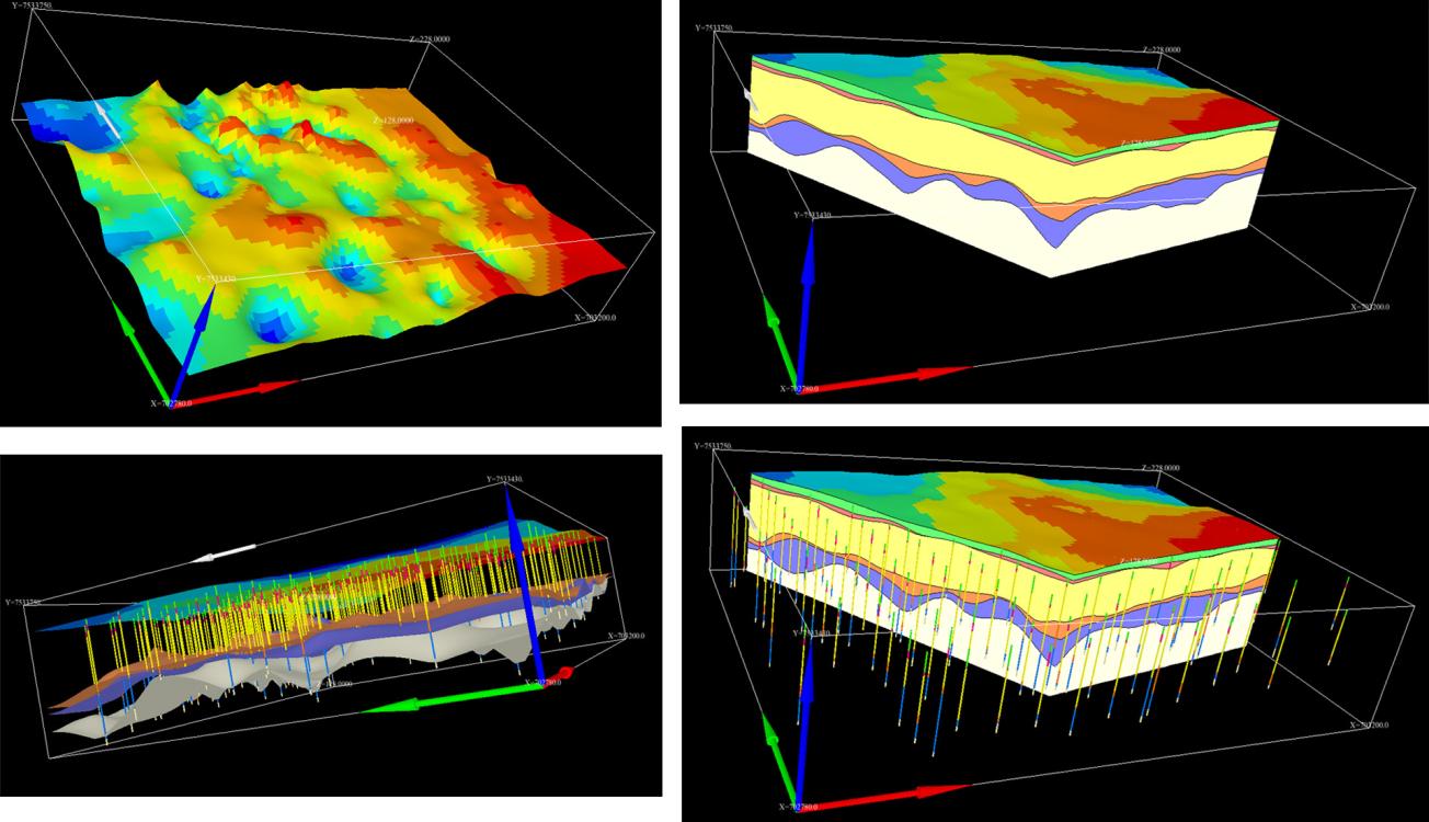
The model is easy to use thanks to the automated production of maps, cross-sections and 3D views that can be exported to different formats.
Fields of application
- Mineral resource exploration and extraction,
- Water resource management,
- Geotechnics and civil engineering
- Designing tunnels, dams or underground storage sites,
- Land and urban planning,
- Geothermal energy.
Licencing conditions / prices
To build up multilayer 3D geological models:
Prerequisite : A GDM Licence is required
Window application :
- Single-user or network licence
- Academic licences
Decreasing rates
Please contact us for further information

GDM Viewer: Visualisation of data and geological models
The viewer provides all the GDM Standard query and search functions for 1D, 2D and 3D graphs.
Graphs can be printed or exported in different file formats (WMF, JPEG, etc.).
The viewer can be supplied to your clients so they can consult the models you built for them even if they do not have a GDM software licence.

GDM ArcGIS: an extension of GDM Suite for ArcGIS
GDM ArcGIS allows ArcGIS users to:
- display (from ArcMAP) GDM documents (GDM Multilayer geological models, drill hole logs, maps, sections, 3D documents) developed under GDM projects. This allows the user to benefit simultaneously of the strength of ArcMap for 2D visualization and of the strength of GDM to display drill hole logs, cross sections anf 3D views from a geological model
- use the GDM geostatistical analysis tools (gistogram, variogram, geostatistical interpolation of points or grids).
GDM ArcGIS r applications can be found in the same fields as GDM:
- water resource management,
- geotechnics, design of tunnels, dams or underground storage sites,
- land and urban planning,
- mineral resource exploration and extraction,
- diagnoses of underground pollution,
- natural risks: underground cavities, sinkholes, etc.
- geothermal energy.
- geosciences in general
To find out more

GDM Web Services: Representation of geological data and models on the Web
GDM Web Services is a set of customisable web services such as online displays of logs, maps or sections.
These services can be integrated in your website to provide your geological information to agents, clients or partners.
The BRGM also offers full hosting and data management services through totally secure intranets or internet.
Licensing conditions / prices
Please contact us for more information.


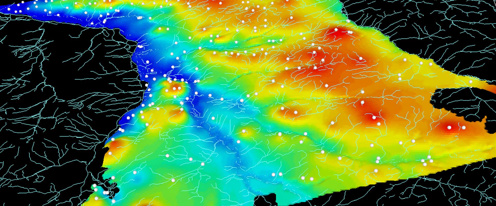

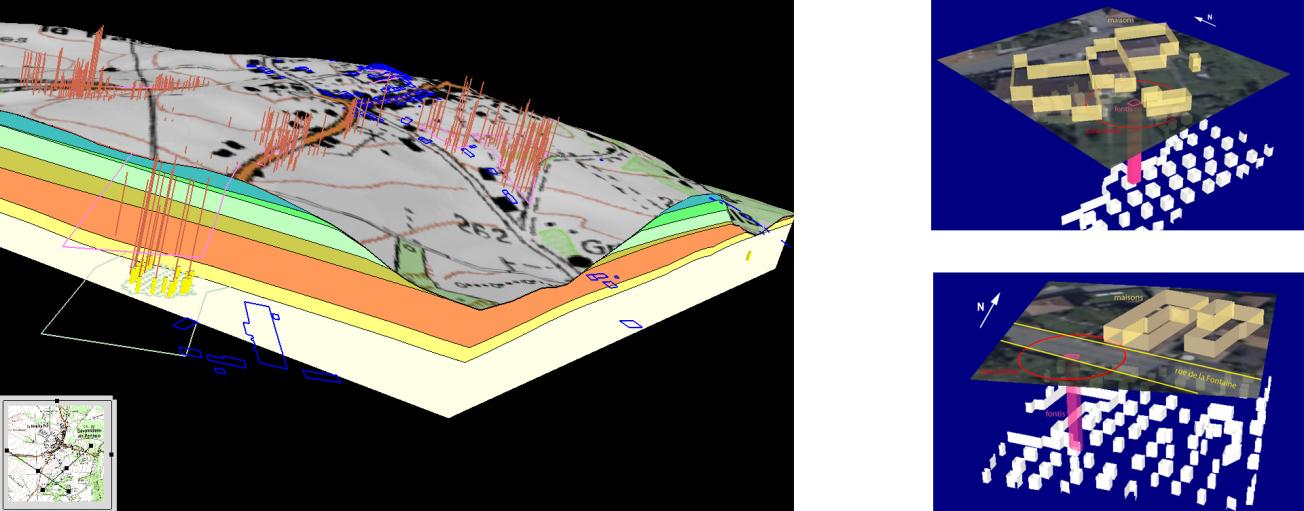

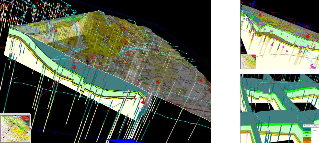


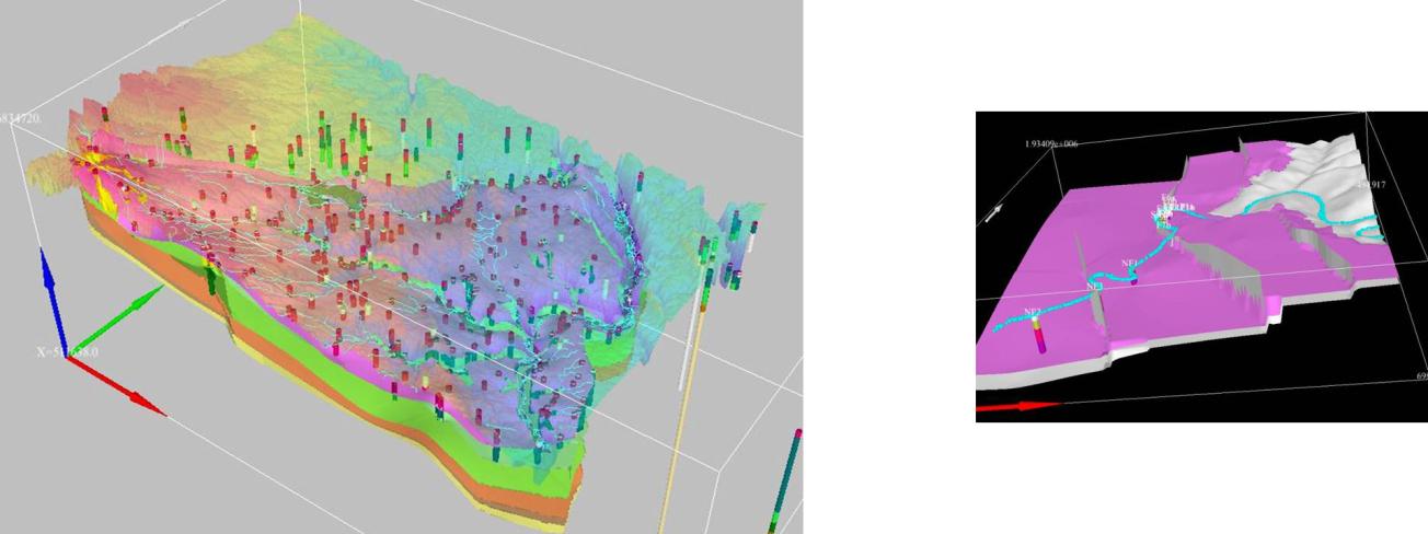
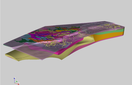

On the left: Albian and Neocomian aquifers in the Paris Basin. Modelled with GDM-MultiLayer, under the AESN-BRGM-DRIEE agreement, 2013-2018. This geological model includes the following formations: Jurassic roof, Neocomian sands, impermeable Barremian Aptian levels, Albian sands, Gault clay, Cenomanian chalk and sands, chalk overburden. On the right: Geological model of Tertiary formations in the Paris basin. Model produced under the RGF programme (French Geological Reference Platform). The construction of this model enabled reinterpretations of logs from the subsoils databank using sequence stratigraphy concepts.