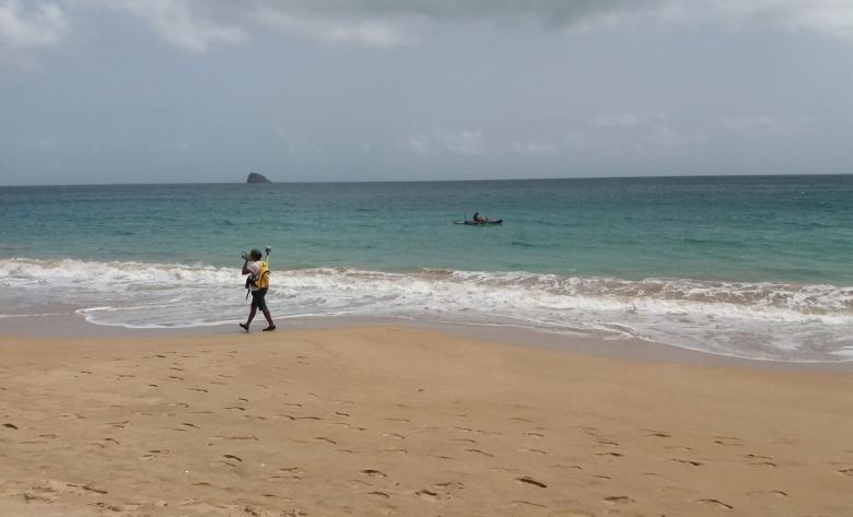
Topo-bathymetric measurements carried out as part of the OLIG project (Cluny beach, Guadeloupe, 2020)
© BRGM - T. Laigre
The need
This Observatory is part of France’s national strategy for integrated coastline management, adopted in 2012. Its aim is to fill the gap in knowledge about coastal dynamics in order to better anticipate coastal risks and provide reliable information for the implementation of coastline management policies.
The results
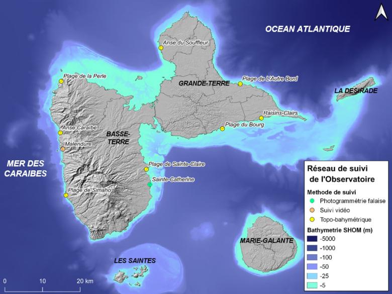
As the Observatory's technical partner, BRGM organises campaigns for collecting topo-bathymetric data at sites that are representative of the Guadeloupe coastline. The Observatory also provides a framework for carrying out expert assessments at the request of government departments.
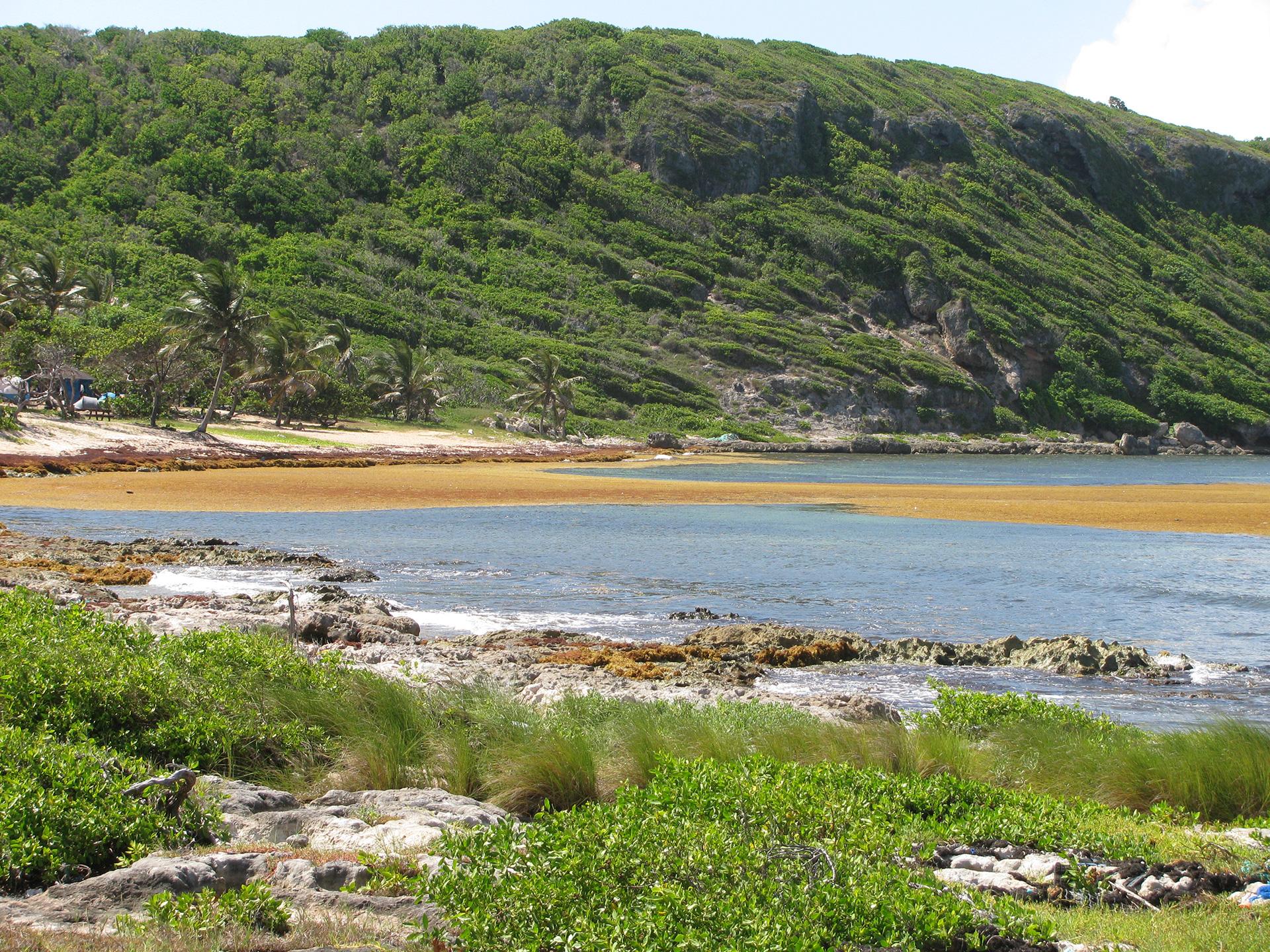
Ten sites in Guadeloupe, all remarkable for their historical dynamics, are currently being monitored. These include open sandy beaches (La Perle), reef beaches (Raisins Clairs, Autre Bord), pebble beaches (Simaho, Anse Caraïbe) and cliffs (Carangaise). The degree of anthropisation of the sites monitored also varies, with some sites heavily constrained by human developments (beach in the market town of Sainte-Anne) and others that are in a more natural state (Sainte-Claire beach). Measurement campaigns are carried out twice a year, with a monitoring protocol adapted to the nature of each site. These measurements include:
- Differential GPS monitoring of reference topo-bathymetric profiles;
- Differential GPS monitoring of the coastline and the limit of vegetation;
- Photogrammetric monitoring by drones;
- Regular video monitoring of the coastline.
Generally speaking, the observations made show a wide range of trends between the different sectors. While long-term changes in the coastline show chronic retreat on sandy beaches, in the short term, annual and seasonal changes may vary depending on the nature and geography of the site being studied.

Setting up this monitoring network will enable us to acquire more precise and qualitative data on the dynamics of coastal change. It is a public policy support tool designed to be practical and easy to access and use. Elected officials and the general public will be able to access easy-to-grasp information to help them better understand the challenges of regional planning. This is a major issue considering the potential consequences of climate change.
Using the results
OLIG has a website which provides a description of the coastline and publishes key figures on the coastal dynamics of the Guadeloupe archipelago. Furthermore, the monitoring data can be visualised using an interactive mapping tool. In addition, a guidebook, intended for coastal managers and the general public, has been written to provide support for coastal management in the Caribbean context. It places particular emphasis on the usefulness of nature-based solutions to reduce coastal risks and aims to facilitate the understanding and application of these solutions.
The partners
- Direction de l’Environnement de l’Aménagement et du Logement (DEAL) [Directorate for the environment, spatial planning and housing] Guadeloupe
- Guadeloupe Region


