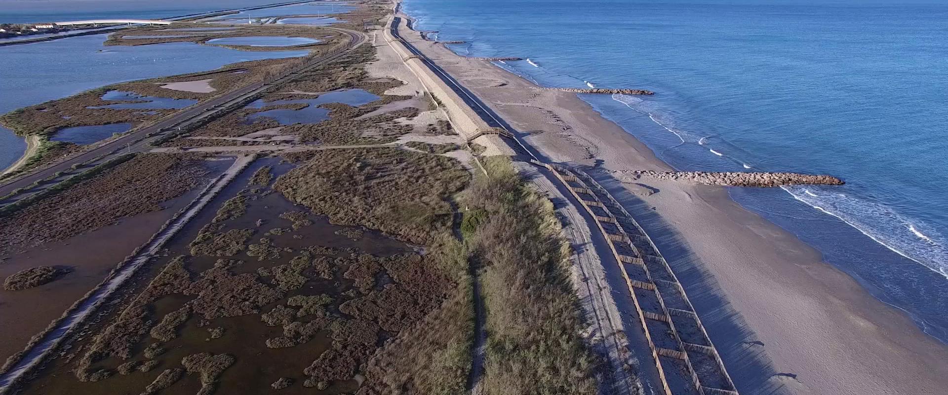
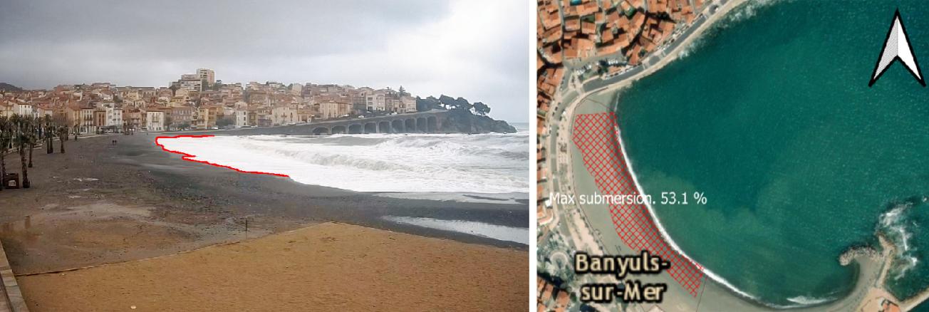
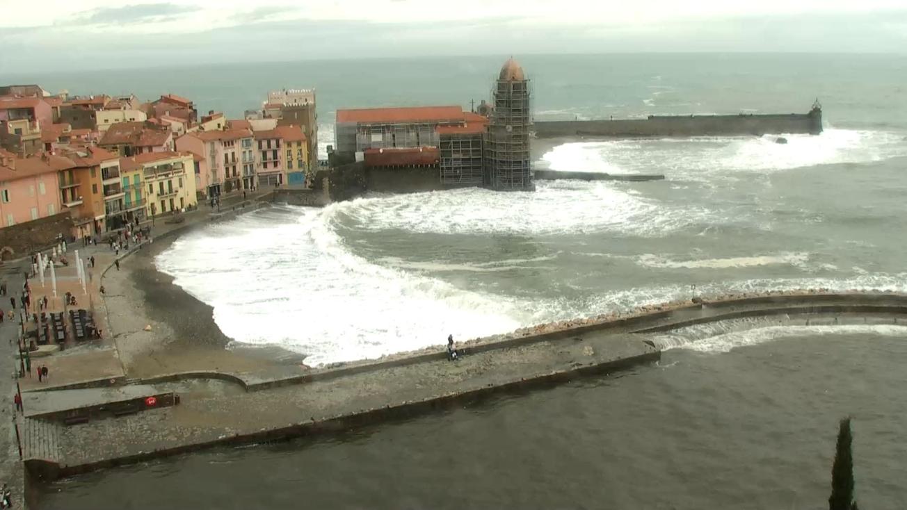
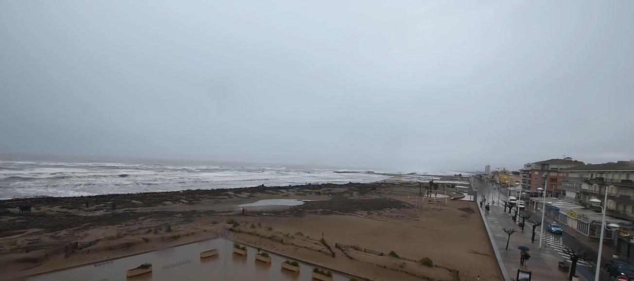
Examples showing the use of pictures from public webcams for coastal monitoring
The need
The lack of continuous and consistent data on coastline vulnerability to erosion and coastal flooding during storms hinders prevention and communication initiatives to address the risks and take account of these phenomena in public spatial planning policies. To address this issue, BRGM suggested assessing the relevance of public webcam systems for coastal monitoring, primarily to better characterise the impact of storms. These systems can increase the number of observations made, and, above all, provide repeated and systematic information on the impact of storms. The information can then be used to generate automatic post-storm bulletins or real-time analyses to improve the way these crisis periods are managed. This study is in keeping with the work of the Occitania Storm Network, a regional partnership network of voluntary organisations involved in monitoring storms and their impact, which is pursuing the development of more appropriate consultation tools along with an analysis of events.
Results
A review was made of existing systems in the region (more than 20 sites listed) and of their potential for coastal monitoring, followed by the development of automatic data retrieval tools and semi-automatic, image processing interfaces (for rectification and geo-referencing) and this was then used as a basis for assessing 12 public webcams that met the criteria for coastal observation. The aim of the analysis, based on images from the video systems concerned, was to assess their ability to produce monitoring indicators of varying complexity, both qualitative, such as the image at the peak of the storm, and more quantitative: percentage of the beach flooded, width of the flooded and/or eroded beach, maximum high-water level, and even the measurement of physical conditions (wave height) or to produce bathymetric data.
The tools developed were used to analyse storm events and their impact during the winter of 2020-2021. Two events in particular were analysed using the video devices identified: storm Hortense in February 2021 and the storm in November 2020. The results showed that almost all the public webcams tested were able to produce qualitative or simple indicators, and around 60% of them could produce quantitative indicators given more advanced processing. The number of observations produced in this way significantly complement observations made in the field. Through data processing and capitalisation in near-real time, it is possible to accurately estimate the impact of sea storms in terms of flooding, coastal erosion and sometimes damage in the immediate crisis or post-crisis period.
Using the results
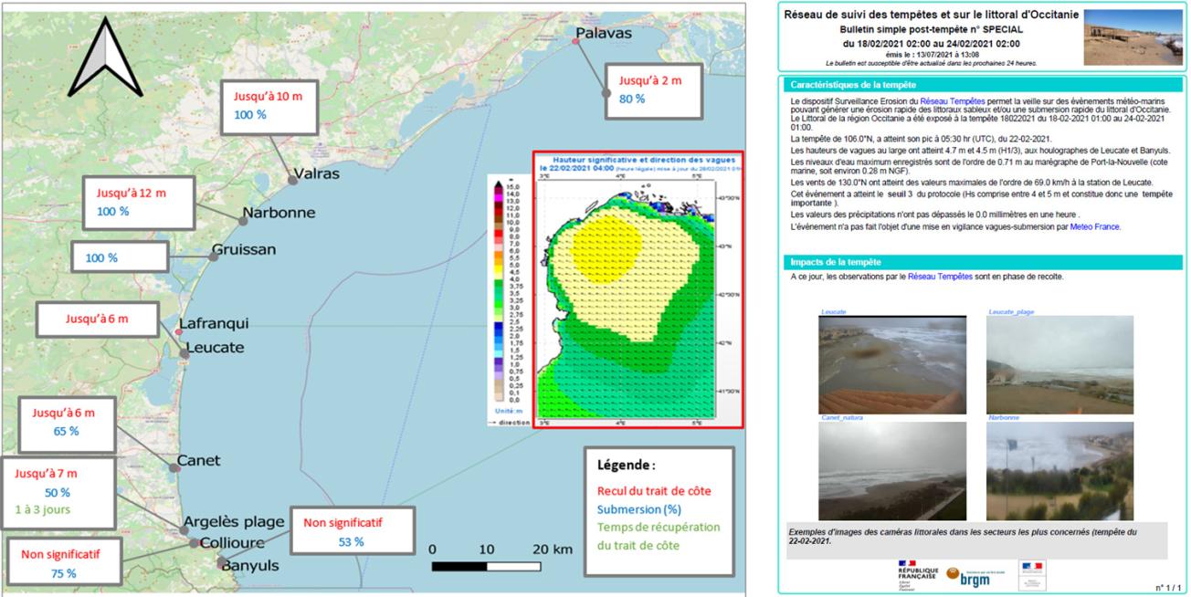
The study highlighted the relevance of using a network of public webcams for scientific purposes. Near-real time processing and capitalisation enable the use of these data in the immediate crisis or post-crisis period to assess any impacted and potentially inaccessible sectors and consequently assess the possible management measures to be taken.. In particular, the study tested the integration of pictures from these cameras into an automatic "on-the-spot" bulletin produced immediately after a storm. This bulletin includes information on the storm forcing during the simulations and the impact in near-real time, based on field data from Storm Network partners and public webcams.
The added value of these systems also lies in the number of physical indicators that can be produced a posteriori and that are not currently available. The availability of these data products opens up major opportunities for monitoring and anticipating events.
Partners
- DREAL Occitanie

