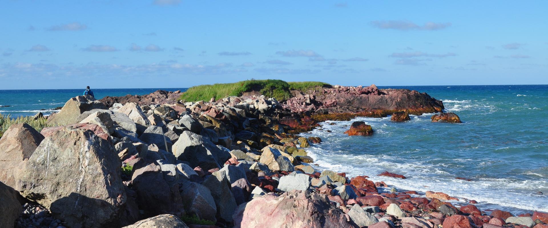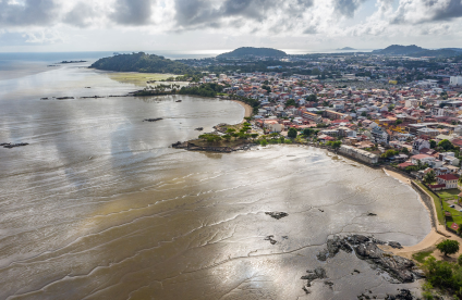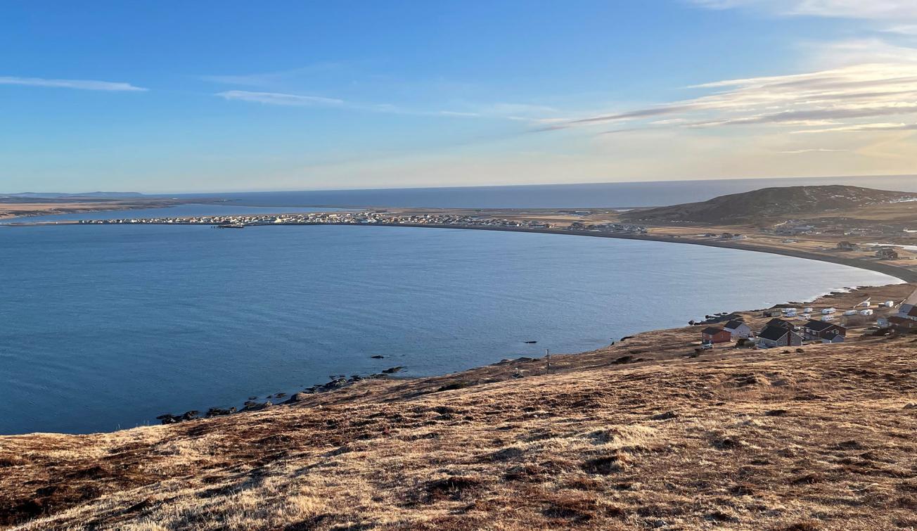
The isthmus and plain of Miquelon, linking the Cap peninsula to the north with the Grande Miquelon peninsula to the south, on which the town of Miquelon has grown up (Miquelon, 2023).
© BRGM - B. Vittecoq
The need
The population of Miquelon and the public authorities are concerned about future flooding due to rising groundwater. There is an aquifer just a few metres beneath the ground of Miquelon, in the sands and pebbles that make up the isthmus between the Cap peninsula and Grande Miquelon. This is why the DTAM has called on BRGM to improve its understanding of how the aquifer works, and of the phenomena previously observed, particularly in 2018 and 2020, and to study solutions for individual or collective prevention or protection aimed at reducing the risk and increasing resilience to this type of flooding.
The results
A measurement network was set up by the DTAM, the Miquelon municipality and BRGM, in August 2021. Measurements are taken at about twenty points every month to monitor the general level of the aquifer, and six automatic devices monitor its level hour by hour. A final device has been installed at the Anse stream, ahead of the road to the Cap peninsula. The data acquired since August 2021 have enabled us to improve our understanding of how the aquifer functions and to confirm the relevance of a monitoring system in improving knowledge of the changing sensitivity of the sector to rising groundwater.
Analysis and interpretation of the results revealed the extension and direction of flow of the unconfined aquifer on the Miquelon plain within Holocene postglacial shoreline deposits constrained by sea level and the Grand Etang (pond). Given the highly permeable nature of the ground, all the effective rainfall seeps in to recharge the aquifer. Piezometric monitoring carried out in the areas most vulnerable to rising groundwater estimated the depth of the aquifer in winter (November-May), as between 0 to 50 cm below ground level, and in summer (June-October), at between 50 cm and 1 m below ground level.
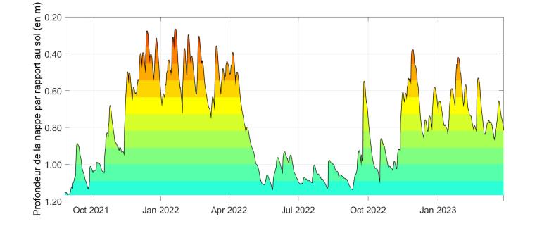
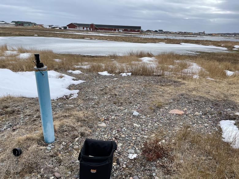
Changes in the aquifer level over time, as observed in the well at the end of the football pitch. Variations in depth relative to ground level are shown here (Miquelon, 2023).
© BRGM - B. Vittecoq
Using the results
The spatial mesh model produced with ©MARTHE, calibrated for the period 2021-2022, was used firstly to reproduce the aquifer levels during the storm of November 2018, thereby demonstrating that the model cannot explain the levels reached in the cellars as being due solely to rising groundwater. It is therefore more likely to be the result of the re-infiltration of run-off water linked to coastal flooding. Secondly, the modelling assessed the impact of a rise in mean sea level (based on the IPCC's projection scenarios) by producing a map showing changes in vulnerability to the phenomenon of rising groundwater, in order to identify the most vulnerable sectors and to test active (pumping) and passive (drainage) remedial solutions in order to assess their effectiveness in lowering the groundwater level.
Finally, actions were proposed to strengthen the model's predictive robustness and improve understanding of how the water table operates (3 actions) and to implement remedial measures (7 actions) to encourage run-off, reduce recharge and promote groundwater flow.
The partner
- Direction des Territoires, de l'Alimentation et de la Mer de Saint-Pierre et Miquelon (DTAM 975 [French Département for Overseas Territories, Food and the Sea in Saint-Pierre et Miquelon])

