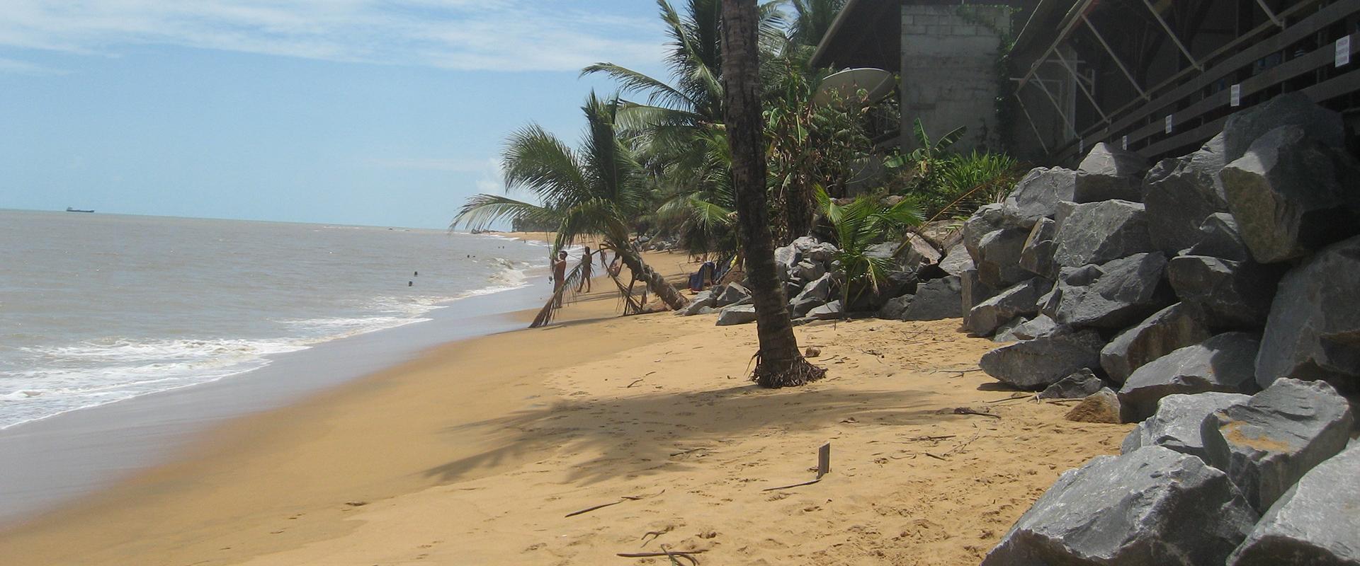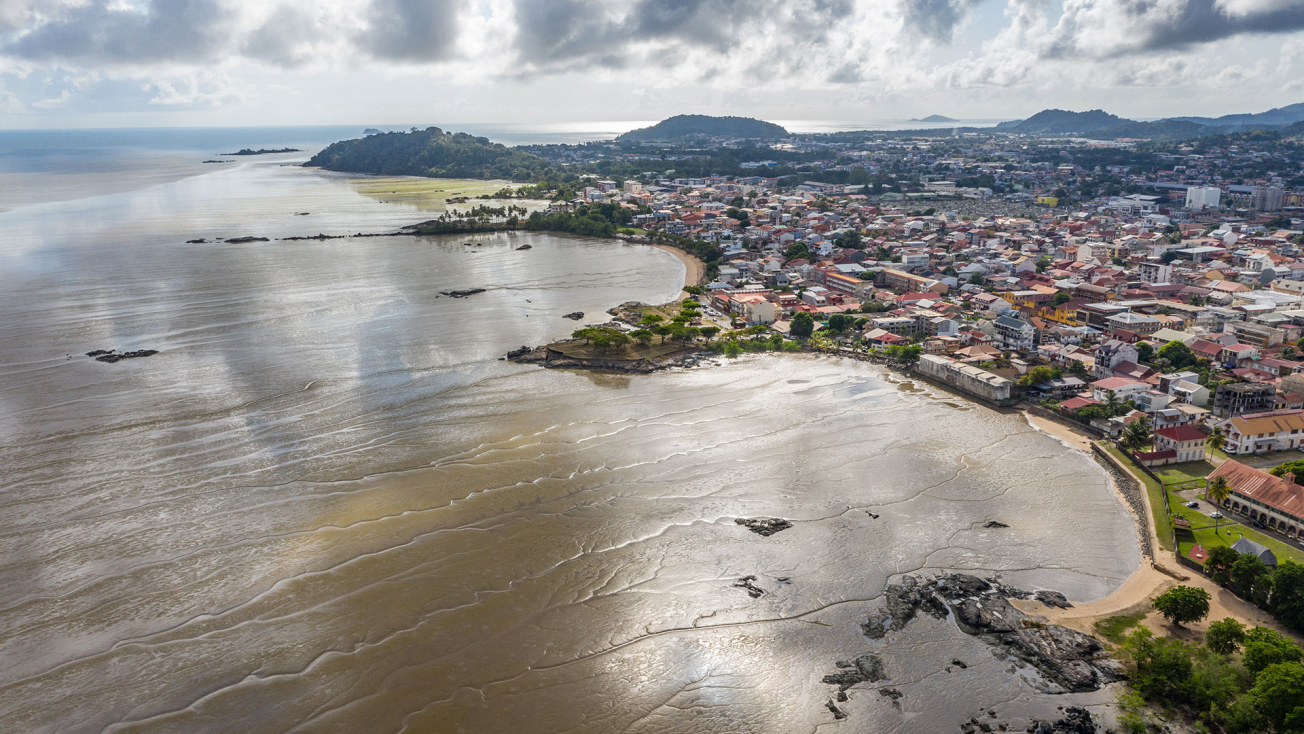
Cayenne (2019).
© ODyC
The need
In order to factor climate change into regional development projects, local planners need to be able to access quantified data on the impact of climate change across the region. The GuyaClimat survey sought to meet this need. Working in partnership with Météo France, it looked at forecasts up to 2100 for the following physical parameters: sea level, temperature, rainfall, wind and waves.
The results
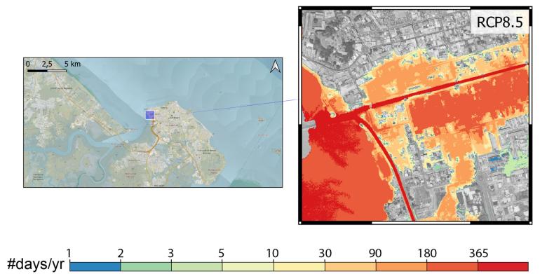
Based on scenarios used by the Intergovernmental Panel on Climate Change (IPCC), the survey sought to project the expected changes in physical parameters, taking into account specific local factors, such as vertical ground movements for rising sea levels. Historical data (rainfall, water levels, temperatures, etc.) based on local observation, provided the basis for validating the models used for forecasts. Discussions with local authorities, government departments and local fishermen made it possible to identify historical temporary flooding events taking place during high-tide periods in calm weather, referred to as “chronic flooding” events. These data were used to approve the method for determining the water levels that could lead to chronic flooding.
BRGM worked on forecasts relating to sea levels, waves and the consequences associated with chronic flooding. The main results quantified a rise of around 0.84m in sea levels (with an uncertainty interval of between 0.59m and 1.17m) by 2100, compared with the period 1986-2005, based on a scenario where greenhouse gas emissions gather pace.
At the same time, Météo France focused on the other physical parameters. For the 21st century, forecasts point to a continued increase in temperature, substantially lower rainfall, greater wind speeds and smaller waves.
The impact of these changes on ecosystems, the Amazon rainforest, economic sectors and human health has yet to be addressed. Nevertheless, the GuyaClimat project has made it possible to map low-lying areas exposed to chronic flooding and to identify the initial impacts on the water, agriculture and energy sectors.
Using the results
In this way, GuyaClimat provides a knowledge base and a preliminary decision-support tool available to everybody. It also provides a basis for future projects, in terms of research and development as well as territorial impact studies.
In order to address the consequences of climate change on French Guiana as effectively as possible, local stakeholders need to take the results of this study on board, in order to initiate or reassess any management, development or risk plans in which the impact of climate change needs to be taken into account.
The partners
- DGTM (Departmental Authority for Inland and Marine Areas)
- AFD (French Development Agency)
- ADEME (French Agency for the Ecological Transition)
- French Guiana Water Office
- Météo-France

