The Jonquilles River, Corrèze
Change the text size
Website accessibility
  • fr
  • en
The Jonquilles River, Corrèze
InfoTerre
The portal for access to BRGM geoscientific data
BRGM Job offers
Join the French geological survey
Annual report
BRGM's highlights and key results.
BRGM History
History of the BRGM, the French geological survey
Operational post-mining
Mine safety and risk prevention
Other websites
  • RGF - French Geological Reference Platform
  • ADES - Groundwater data access portal
  • Géorisques - A portal to better understand the risks in France
  • Géothermies - All about geothermal energy
  • Minéralinfo - The French portal for non-energy mineral resources
  • BRGM Training - Continuing professional training
  • HAL-BRGM - BRGM's scientific publications
All websites
BRGM logo with the French Republic logo
French
geological
survey
The Jonquilles River, Corrèze
  • Public partner, local government
    Public partners: BRGM at your side
    Expert studies
    Our solutions
    French regional network
    References and projects
    Public reports
    Scientific publications
    Websites, apps and databases
    Contacts
  • Company
    Working with the BRGM, a guide
    Innovation and transfers
    Our solutions
    References and projects
    Laboratories and technological platforms
    Continuing professional training
    Websites, apps and databases
    Becoming a BRGM supplier
    Contacts
  • Researcher
    Scientific research
    Public reports
    Scientific publications
    References and projects
    Laboratories and technological platforms
    Websites, apps and databases
    Books and geological maps
    Continuing professional training
    Doctorates and post-doctorates
  • Student
    Higher education
    Jobs and careers
    Doctorates and post-doctorates
    Work-study contracts and internships
    Websites, apps and databases
    Books and geological maps
    Public reports
    Scientific publications
    News
  • Teacher, pupil
    Discovering the Earth Sciences
    Lumni Enseignement, BRGM's educational resources
    Higher education
    Websites, apps and databases
    Books and geological maps
    Public reports
    Scientific publications
    News
  • Journalist
    News and press releases
    Events
    References and projects
    Public reports
    The BRGM at a glance
    Newsletter
    Press desk
  • Citizen, citizen's group
    News
    Events
    Jobs and careers
    The BRGM at a glance
    French regional network
    Discovering the Earth Sciences
    Undertakings
    Newsletter
    Results and data
The Jonquilles River, Corrèze
  • Challenges
    Challenges
    • Geology and knowledge of the subsurface
    • Groundwater management
    • Risks and spatial planning
    • Mineral resources and the circular economy
    • Subsurface potential for the energy transition
    • Digital data, services and infrastructure
  • Activities
    Activities
    • Scientific research
    • Expert studies
    • Innovation and transfers
    • Analysis and experimentation
    • Mine safety and risk prevention
    • Higher education
    • Continuing professional training
    • Knowledge dissemination and open science
  • Becoming a partner or client
    Becoming a partner or client
    • Companies: working with the BRGM, a guide
    • Public partners: BRGM at your side
    • Our solutions
    • Laboratories and technological platforms
    • Becoming a BRGM supplier
  • Identity
    Identity
    • The BRGM at a glance
    • Strategy
    • Governance
    • History
    • Undertakings
    • Subsidiaries and holdings
  • Results and data
    Results and data
    • References and projects
    • Public reports
    • Scientific publications
    • Software
    • Websites, apps and databases
  • In France and worldwide
    In France and worldwide
    • French regional network
    • Europe
    • International
  • News
  • Events
  • Educational area
  • State of groundwater
  • Jobs and careers
  • BRGM Publications
  • Newsletter
  • Contacts
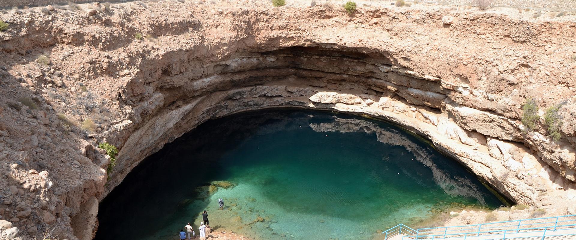
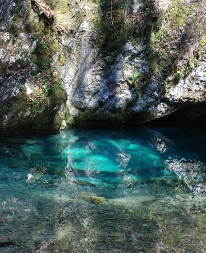
The blue-green water in this limestone formation, Oman
Breadcrumb
  • Home
  • Groundwater management

#Groundwater management

Share

All the contents of BRGM, the French geological survey, on groundwater management.

View of the bay bordering Le Tréport and Mers-les-Bains
7
oct
2025
10
oct
2025
Lyon (Eurexpo)
Trade Fair
Pollutec 2025
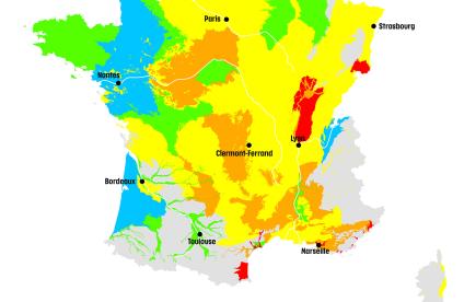
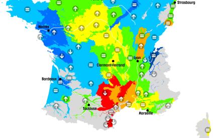
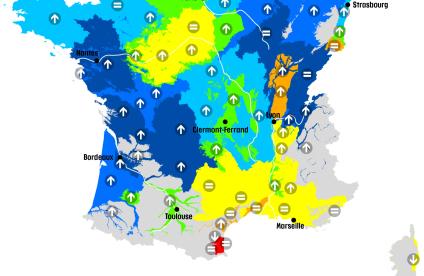
Map of aquifer levels in mainland France on 1 April 2025.
Press release
Groundwater tables on 1 April 2025
16 Apr 2025
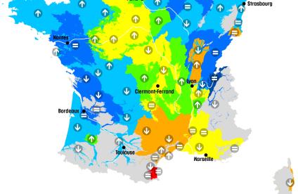
Map of aquifer levels in mainland France on 1 March 2025.
Press release
Groundwater tables on 1 March 2024
12 Mar 2025
River
Current project
FARMWISE: Future Agricultural Resource Management and Water Innovations for a Sustainable Europe
7 Mar 2025
Removal of the weir at the Saint Paul crystal-works on the Briance (Condat-sur-Vienne, 87).
Software
AquiSeuil: modelling the impact of levelling or removing a river dam
AquiSeuil is a tool developed by BRGM and OFB to model the impact of levelling or removing a river dam on water-table levels.
Infiltration device of treated wastewater from the wastewater treatment plant of Mare in Jorre d'Agon-Coutainville
28
apr
2025
2
may
2025
Stellenbosch, South Africa
Symposium
ISMAR 2025 - International symposium on managed aquifer recharge
Aerial view of the Île aux Oiseaux, Gironde
Article
Nature-based solutions for adapting to climate change
27 Feb 2025
Catherine Lagneau, BRGM Chair and CEO, and Benoit Vallet, Director General of ANSES, signed a framework agreement on 24 February for future joint research and appraisal by the two organisations.
Press release
ANSES and BRGM pool their expertise to study water and soil quality
24 Feb 2025
Map of aquifer levels in mainland France on 1 February 2025.
Press release
Groundwater levels on 1 February 2025
12 Feb 2025
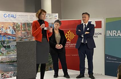
Pauline Drzewiecki, BRGM’s Regional Director, and Delphine Alexandre, Vice-President of the Regional Brittany Council, signing the MétéEAU Nappes Agreement on 22 January 2025 in Rennes.
Press release
The Brittany Region and BRGM join forces to develop a groundwater forecasting service
23 Jan 2025
Map of aquifer levels in mainland France on 1 January 2025.
Press release
Groundwater levels on 1 January 2025
15 Jan 2025
Flooding of the Seine at Triel-sur-Seine, Yvelines
Article
Is it possible to forecast droughts and floods?
13 Jan 2025

Pagination

  • Current page 1
  • Page 2
  • Page 3
  • Page 4
  • Page 5
  • Page 6
  • Page 7
  • Page 8
  • Page 9
  • …
  • Next page
  • Last page
3D scan of an underground cavity as part of a stability diagnosis
Newsletter
Subscribe to the newsletter
Contacts and access
Contacts
Press desk
Access maps
Follow us
  • Legal information - Credits
  • Personal data protection
  • Cookie management
  • Accessibility: not compliant
  • Access to administrative documents
BRGM logo with the French Republic logo
Logo Certification ISO 9001 et 14001 HRS4R logo France 2030 logo EuroGeoSurveys logo
BRGM - 3 avenue Claude-Guillemin - BP 36009 - 45060 Orléans Cedex 2 - France - Tel.: +33 (0)2 38 64 34 34
Newsletter

Subscribe to our newsletter and receive our news every month!


Subscribe