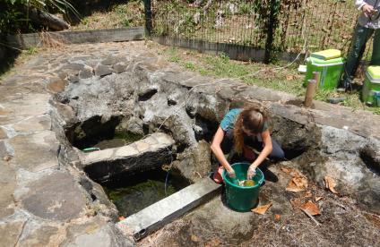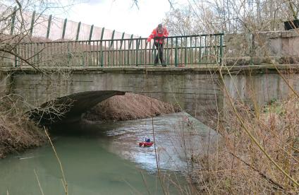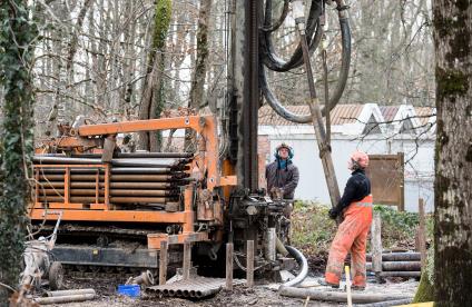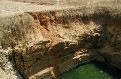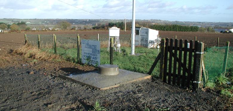
BRGM piezometer equipped with measurement and remote data-transmission systems (Brittany, 2003).
© BRGM
Your issues and needs
In the face of increasingly severe weather events and growing pressure on water resources, it is crucial for all the stakeholders involved in water management to have access to real-time information about the availability of water resources and to be able to predict the level of water tables, particularly as regards the implementation of the GEMAPI plan (French national plan concerning the management of aquatic environments and flood prevention). This information makes it possible to:
- Characterise the specific features of a site,
- Optimise resource management by adapting groundwater abstraction and managing conflicts of use,
- Take decisions when faced with water shortages or surpluses,
- Test different scenarios to anticipate the effects of climate change.
Our added value
BRGM has developed the MétéEAU Nappes website, which displays real-time data of measurements carried out by the national piezometric network, for various monitoring points linked to the French hydrological model.
These data are displayed as maps and dynamic curves based on modelling and forecasting studies of water table levels during low and high-water periods. Meteorological, hydrological and piezometric data from several representative sites in metropolitan France are published online in real time. Combined with the general models used (Gardenia and Tempo ©BRGM), these data make it possible to forecast groundwater levels. The forecasts (which cover 6 months) are compared with piezometric thresholds (for example: drought thresholds taken from Prefectoral decrees in force concerning restrictions on water use).
MétéEAU Nappes provides a whole range of services that enable users to monitor the current and future behaviour of aquifers in France. It is a genuine decision-support tool for managing water resources in sensitive areas (management of low water periods, risk of flooding due to rising water tables, etc.).
BRGM 2020 Innovation prize: MétéEau Nappes
Transcription
Geosciences for a Sustainable Earth
NATIONAL GEOLOGICAL SURVEY 2020
INNOVATION PRIZE
MétéEAU Nappes: a website with tools to monitor groundwater levels.
Hello. For an internal research project, we invented the MétéEAU Nappes website. Specialists collaborated on this project: computer developers, modellers, hydrogeologists. We have a real-time tool that displays water table status for the day in question and forecasts for the future. We have maps and graphs that are updated on each login. The work relies on the national piezometric network and the real-time measurement of groundwater levels of around 1,500 piezometers daily. MétéEAU Nappes is a tool that forecasts the evolution of aquifers. It provides data on the different components of the water cycle, the most recent, surface water and rainfall, the flow of rivers and the level of the water tables. Forecasts are provided for low-water periods and drought situations, but also for periods of rising water with risks of flooding due to rising water tables. This data results from modelling work. This is for a 6-month period and compares piezometric thresholds linked to water restrictions, in times of drought or thresholds in flood periods. The present website displays a dozen points. It will display more, as the number of public and private partnerships increases. The forecasts on the graph are associated with climate scenarios with heavy, medium or light rainfall. MétéEAU Nappes is a decision-support tool for managing water resources in sensitive areas, to anticipate droughts or floods, to assist management of conflicts of use and to anticipate climate change. Check out our website, which went live in early 2021.
Features and services
- Simplified web interface.
- Display of historical and real-time meteorological groundwater and surface water data provided by SCHAPI, Météo-France and BRGM.
- Maps of the groundwater status for the day in question and forecasts based on various weather scenarios.
- Superimposed graph curves of piezometric levels (history, real-time data, forecast levels; drought/flood piezometric thresholds), real-time rainfall and river flowrates.
- Automatic monthly update of forecast data concerning groundwater levels with recent weather data (from Gardénia).
- Provision of metadata linked to the forecasts: model used, frequency, benchmark period, correlation coefficient, samples taken into account (or not), natural slope of the terrain above the piezometer, bibliographical sources of the piezometric thresholds, etc.
- Dynamic private application programming interface (API).
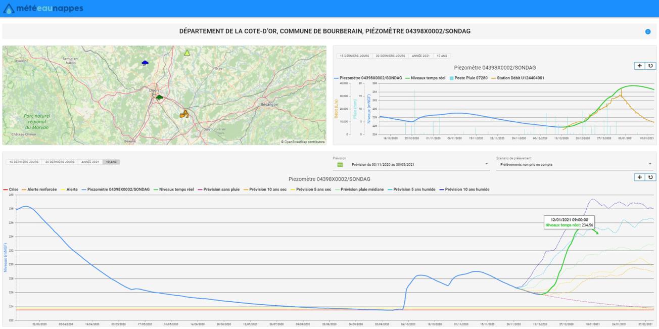
Screenshot of the graphic part of the MétéEAU Nappes website (as at 12/01/2021).
© BRGM
Publications
- Mougin B., Nicolas J., Bessière H., Vigier Y., Loigerot S. (2018). Vers une prévision en temps réel du niveau des nappes françaises? (Moving towards real-time forecasting of groundwater levels in France) The "MétéEau des nappes" decision-support tool. "Géologues" journal No. 195 of December 2017, pages 16 to 21.
- "MétéEAU Nappes": a website with useful services for water and drought management. Mougin, B., J. Nicolas, Y. Vigier, H. Bessière, and S. Loigerot. Houille Blanche-Revue Internationale De L’Eau, No. 5 (Dec 2020): 28-36.
- Surdyk N., Thiéry D., Nicolas J., Gutierrez A., Vigier Y., Mougin B. (2022). MétéEAU Nappes: a real-time water-resource-management tool and its application to a sandy aquifer in a high-demand irrigation context. Hydrogeology Journal. https://doi.org/10.1007/s10040-022-02509-1
- Vicente-Serrano SM., Domínguez-Castro F., Peña-Angulo D., Peña-Gallardo M., Henriot A., Caballero Y., Mougin B., Coscarelli R., Antronico L., Zimbo F., Petrucci O., Pasqua AA., del Jesus M (2020). Report on comparison of the ISD with sectorial data. Indecis Projet Delivrable 4:5 http://indecis.eu/docs/Deliverables/Deliverable4.5.pdf
A few references
- Contribution to the groundwater section of the French National Hydrological Status Report.
- Forecasting the evolution of surface water tables by grouping together regional hydrogeological models on a nationwide platform (Aqui-FR project).
- Contribution to the National Commission of anticipation and hydrological monitoring (CASH) in terms of seasonal forecasts of the state of the water tables.
- Support to the Ministry of Ecological Transition and Territorial Cohesion to establish a cartography of territories at risk of drought in summer 2022.
- The MétéEAU Nappes tool will be deployed to monitor the water table near the exploitation fields of the City of Cape Town (South Africa).
To find out more
References
Solutions


