Your issues and needs
Identifying and assessing materials for resources demands accurate knowledge of particular subsurface features. Accessing the information is a complex matter, but is a fundamental requisite for opening new extraction sites and/or extending quarrying licences.
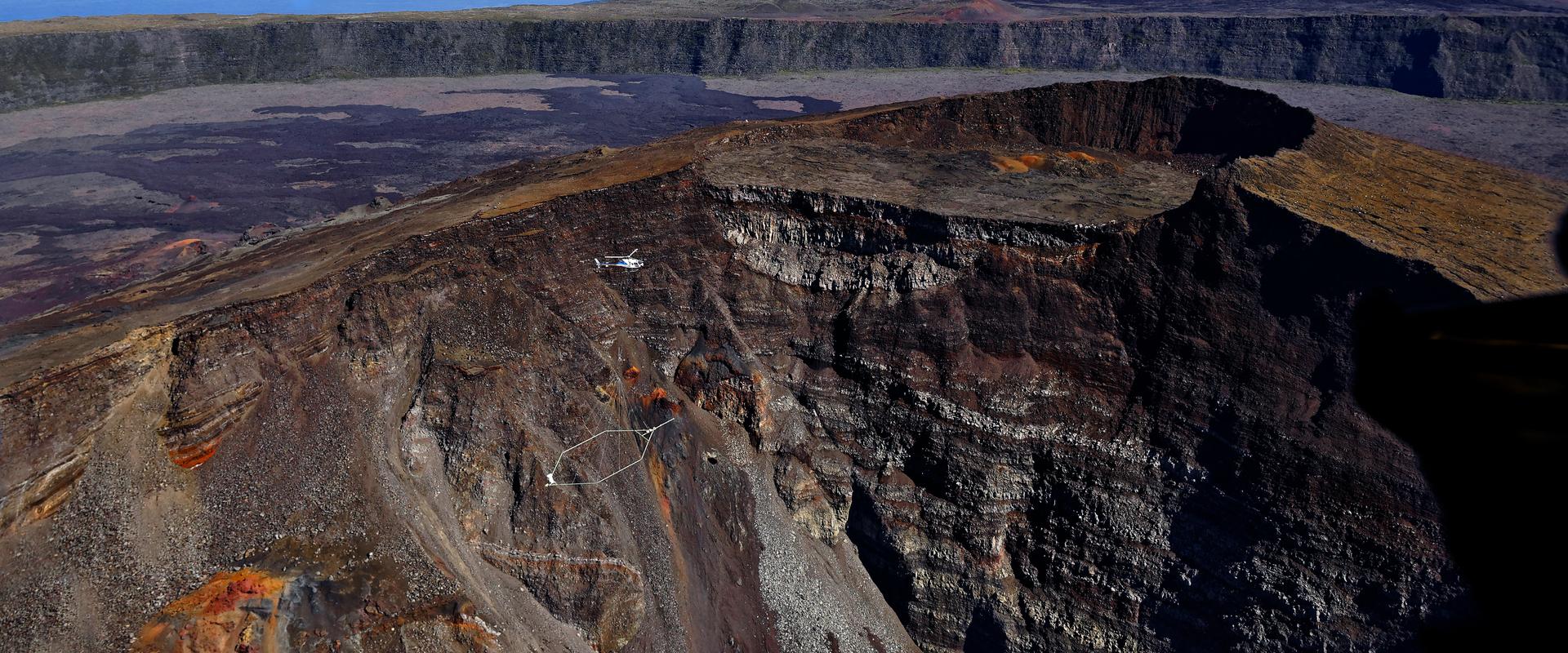
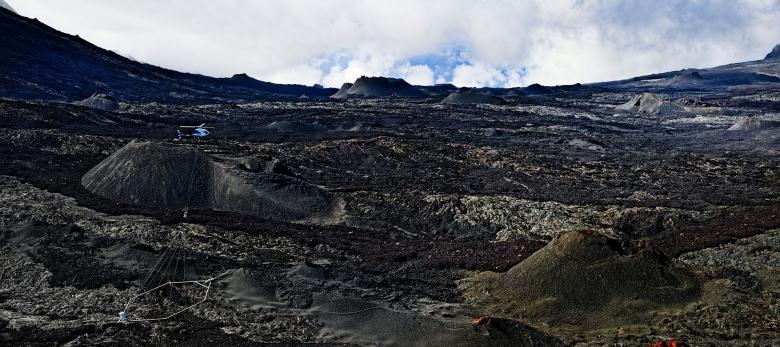
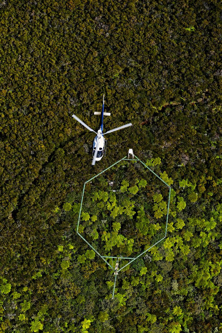
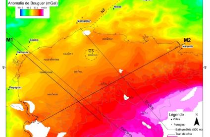
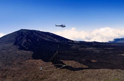
Airborne geophysical imagery provides a continuous view of the surface and subsurface geology down to a depth of several hundred metres. Depending on the sensors carried by an aircraft or helicopter, several characteristics of the subsurface can be investigated rapidly despite forest cover or difficult terrain. This tool is a valuable decision-making aid when prospecting for raw materials, from regional targeting to the characterisation of deposits.
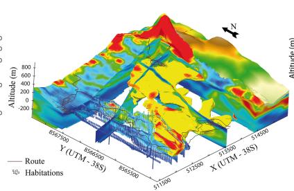
Airborne geophysical sensing cross-referenced with the study of available drilling data, and supplemented by targeted geological field checks, provides 3D imaging of the information being exploited and/or of interest, quickly and at a lower cost.
Our added value
Since the end of the 1990s, BRGM has been carrying out surface and subsurface data acquisition using airborne geophysical remote sensing. It therefore has the experience, skills and infrastructure (expertise, laboratories and logistics) needed to carry out mining exploration projects on local and regional scales, in France and abroad, for industrial or institutional requirements.
BRGM now offers its expertise in airborne geophysics for the prospecting of rocky materials, including:
- Supervising data acquisition: defining survey specifications, quality control of data acquisitions and processing, product validation.
- Data processing/modelling: processing adapted to the methods used, 2D/3D geophysical and geological modelling.
- Interpretation: development of appropriate methodologies for mineral resource assessment.
In addition, BRGM's airborne geophysical tools provide homogeneous, continuous and geolocated images of the surface and subsurface geological environment. They allow the fast and precise use of several methods simultaneously.
Platforms
- R'GEOPHY : airborne geophysical remote sensing
Some references
- Evaluation of territories’ potential in massive rock formations using helicopter-borne electromagnetic sensing.
- Targeting areas with potential kaolin deposits in basement rock sectors by airborne gamma spectrometry.
- Semi-quantitative evaluation of a deposit by helicopter-borne electromagnetism for the extension of quarries.
- Geophysical reconnaissance by drone of material deposits at the scale of a quarry.
References
Solutions


