La rivière des Jonquilles, Corrèze
Change the text size
Website accessibility
  • fr
  • en
La rivière des Jonquilles, Corrèze
InfoTerre
The portal for access to BRGM geoscientific data
BRGM Job offers
Join the French geological survey
Annual report
BRGM's highlights and key results.
BRGM History
History of the BRGM, the French geological survey
Operational post-mining
Mine safety and risk prevention
Other websites
  • RGF - French Geological Reference Platform
  • ADES - Groundwater data access portal
  • Géorisques - A portal to better understand the risks in France
  • Géothermies - All about geothermal energy
  • Minéralinfo - The French portal for non-energy mineral resources
  • BRGM Training - Continuing professional training
  • HAL-BRGM - BRGM's scientific publications
All websites
BRGM logo with the French Republic logo
French
geological
survey
La rivière des Jonquilles, Corrèze
  • Public partner, local government
    Public partners: BRGM at your side
    Expert studies
    Our solutions
    French regional network
    References and projects
    Public reports
    Scientific publications
    Websites, apps and databases
    Contacts
  • Company
    Working with the BRGM, a guide
    Innovation and transfers
    Our solutions
    References and projects
    Laboratories and technological platforms
    Continuing professional training
    Websites, apps and databases
    Becoming a BRGM supplier
    Contacts
  • Researcher
    Scientific research
    Public reports
    Scientific publications
    References and projects
    Laboratories and technological platforms
    Websites, apps and databases
    Books and geological maps
    Continuing professional training
    Doctorates and post-doctorates
  • Student
    Higher education
    Jobs and careers
    Doctorates and post-doctorates
    Work-study contracts and internships
    Websites, apps and databases
    Books and geological maps
    Public reports
    Scientific publications
    News
  • Teacher, pupil
    Discovering the Earth Sciences
    Lumni Enseignement, BRGM's educational resources
    Higher education
    Websites, apps and databases
    Books and geological maps
    Public reports
    Scientific publications
    News
  • Journalist
    News and press releases
    Events
    References and projects
    Public reports
    The BRGM at a glance
    Newsletter
    Press desk
  • Citizen's group, citizen
    News
    Events
    Jobs and careers
    The BRGM at a glance
    French regional network
    Discovering the Earth Sciences
    Undertakings
    Newsletter
    Results and data
La rivière des Jonquilles, Corrèze
  • Challenges
    Challenges
    • Geology and knowledge of the subsurface
    • Groundwater management
    • Risks and spatial planning
    • Mineral resources and the circular economy
    • Subsurface potential for the energy transition
    • Digital data, services and infrastructure
  • Activities
    Activities
    • Scientific research
    • Expert studies
    • Innovation and transfers
    • Analysis and experimentation
    • Mine safety and risk prevention
    • Higher education
    • Continuing professional training
    • Knowledge dissemination and open science
  • Becoming a partner or client
    Becoming a partner or client
    • Companies: working with the BRGM, a guide
    • Public partners: BRGM at your side
    • Our solutions
    • Laboratories and technological platforms
    • Becoming a BRGM supplier
  • Identity
    Identity
    • The BRGM at a glance
    • Strategy
    • Governance
    • History
    • Undertakings
    • Subsidiaries and holdings
  • Results and data
    Results and data
    • References and projects
    • Public reports
    • Scientific publications
    • Software
    • Websites, apps and databases
  • In France and worldwide
    In France and worldwide
    • French regional network
    • Europe
    • International
  • News
  • Events
  • Educational area
  • State of groundwater
  • Jobs and careers
  • BRGM Publications
  • Newsletter
  • Contacts
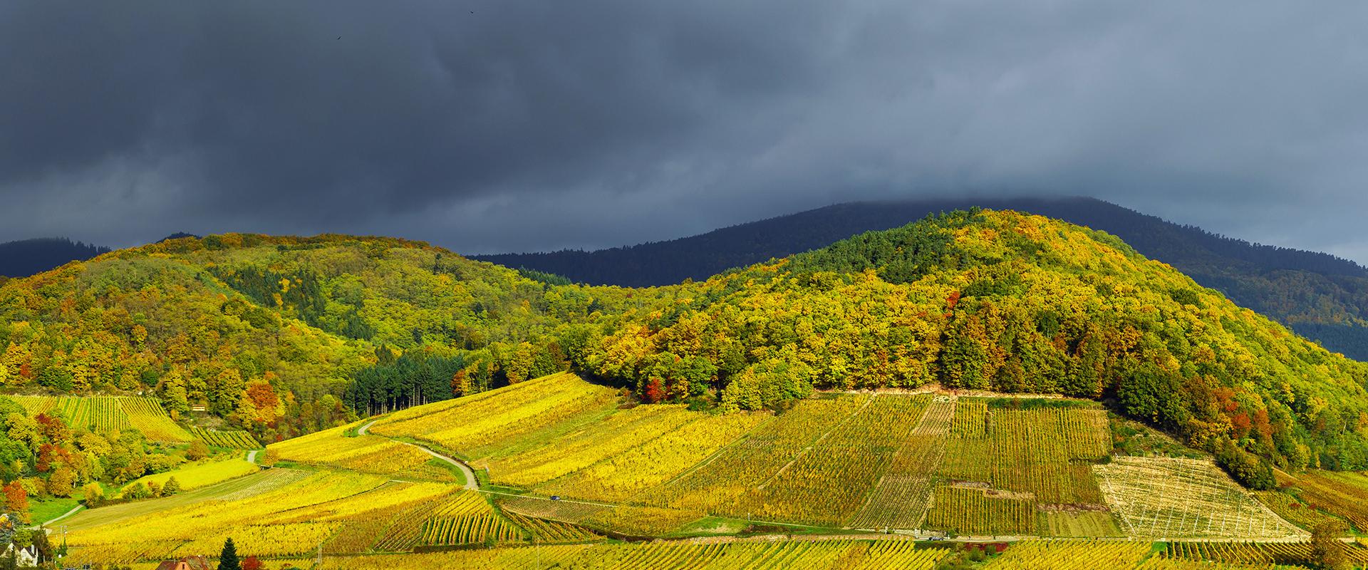
Village of Andlau, Bas-Rhin
Breadcrumb
  • Home
  • Grand Est

#Grand Est

Share

All the contents of BRGM, the French geological survey, on the Grand Est region.

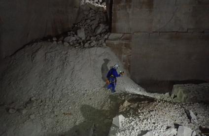
Visite de surveillance et scan 3D réalisés dans une ancienne crayère dans le cadre de l'Observatoire des cavités de Châlons-en-Champagne (Marne, 2021).
Reference, completed project
Monitoring and searching for underground cavities in Châlons-en-Champagne (Marne)
9 Sep 2022
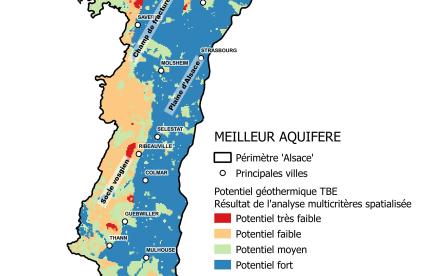
Carte du potentiel géothermique sur nappe (meilleur aquifère) sur le territoire alsacien.
Reference, completed project
Atlas of near-surface geothermal resources in Alsace
6 Sep 2022
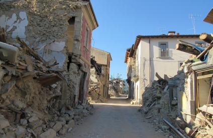
A street in Amatrice after the August 2016 earthquake, Italy
Reference, completed project
Assessment and prevention of seismic risk in the Saint-Louis Conglomeration (Haut-Rhin)
6 Sep 2022
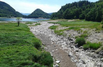
La Thur, en amont du lac de Kruth-Wildenstein (Haut-Rhin, juillet 2019).
Reference, completed project
Impact of climate change on the water resources of the Vosges basement
2 Sep 2022
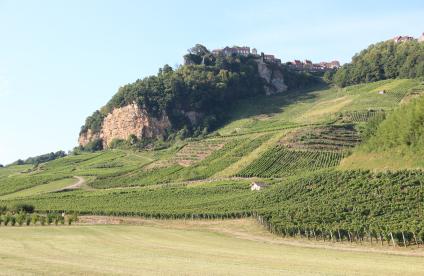
Château-Chalon and its vineyard
Article
Good land for wine: how geology can influence the quality of wine
26 Aug 2022
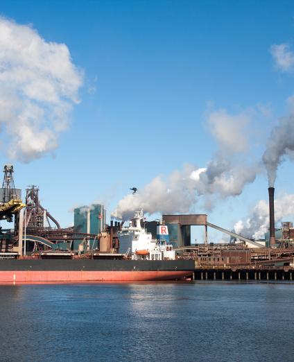
View of a factory and its chimneys emitting smoke, Netherlands
18
oct
2022
21
oct
2022
Nancy (Centre des Congrès)
Conference
DeepSurf 2022
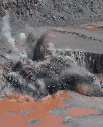
Quarrying with explosives, Vosges
16
jun
2022
18
jun
2022
Nancy
Congress
World Materials Forum 2022
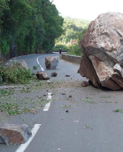
A rockfall, Reunion Island
13
oct
2022
14
oct
2022
Strasbourg (Convention Centre)
Congress
French National Conference on Natural Risks 2022
3D scanning of a cliff, Criel-sur-Mer
10
nov
2022
Nancy (Prouvé Centre)
Trade Fair
Géologia 2022
Illustration of a wind farm, Spain
29
mar
2022
Nancy / Online
Conference
One-day training seminar on strategic metals
Sources du Riedbrunnen, site marquant de la région du Grand Ried impacté par la baisse de la piézométrie (Colmar, 2019).
Reference, completed project
Scientific support for the quantitative management of groundwater in the Grand Ried (Alsace)
15 Nov 2021
Dispositif d’acquisition sismique et mise en œuvre de la source sismique chute de poids accélérée (fontis du Pâquis) (Savonnière-en-Perthois, Meuse, 2020).
Reference, completed project
Characterisation of potential cover-collapse sinkholes using seismic methods
15 Nov 2021

Pagination

  • Current page 1
  • Page 2
  • Page 3
  • Next page
  • Last page
3D scan of an underground cavity as part of a stability diagnosis
Newsletter
Subscribe to the newsletter
Contacts and access
Contacts
Press desk
Access maps
Follow us
  • Accessibility
  • Legal information - Credits
  • Personal data protection
  • Cookie management
  • Access to administrative documents
  • RSS feeds
BRGM logo with the French Republic logo
Logo Certification ISO 9001 et 14001 Logo EuroGeoSurveys Logo AllEnvi
BRGM - 3 avenue Claude-Guillemin - BP 36009 45060 Orléans Cedex 2 - France - Tel.: +33 (0)2 38 64 34 34
Newsletter

Subscribe to our newsletter and receive our news every month!