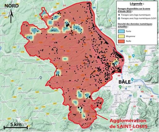
Map showing the calculated density of boreholes with the digital logs currently available (compiled for the High-Speed Railway Line) in the survey area (2021).
© BRGM
The need
Prior to beginning a technical survey to assess the seismic risk, BRGM offered its support to the DDT of the Haut-Rhin department in conducting an inventory of the existing data and surveys concerning the seismic risk in the Saint-Louis area. The objective was to acquire detailed knowledge of the scientific data already available or that could be acquired in order to subsequently put forward a risk survey based on these data and the needs of the community.
The results
In this way, BRGM identified two types of data that could be used in a future seismic risk survey:
- Geological data (maps, boreholes, digital and structural models) in France as well as in Germany and Switzerland;
- Seismic data (events database, active faults, geophysics).
Some of these data can be used as they are, but most will require further study or validation.
Based on this inventory of available data, the DDT of the Haut-Rhin was then able to recommend the implementation of two actions to improve knowledge of the seismic risk in the Saint-Louis area.
Given the size of the survey area (268 km²), a recommendation was made for the risk survey to be conducted in phases and on two different scales. In the first instance, BRGM proposes to conduct risk scenarios for the whole of the Saint-Louis area for ordinary buildings, possibly including strategic networks and buildings (schools, town halls, hospitals, crisis management centres, etc.). These scenarios, which are calculated statistically, will be reproduced on a scale of 1:50 000.
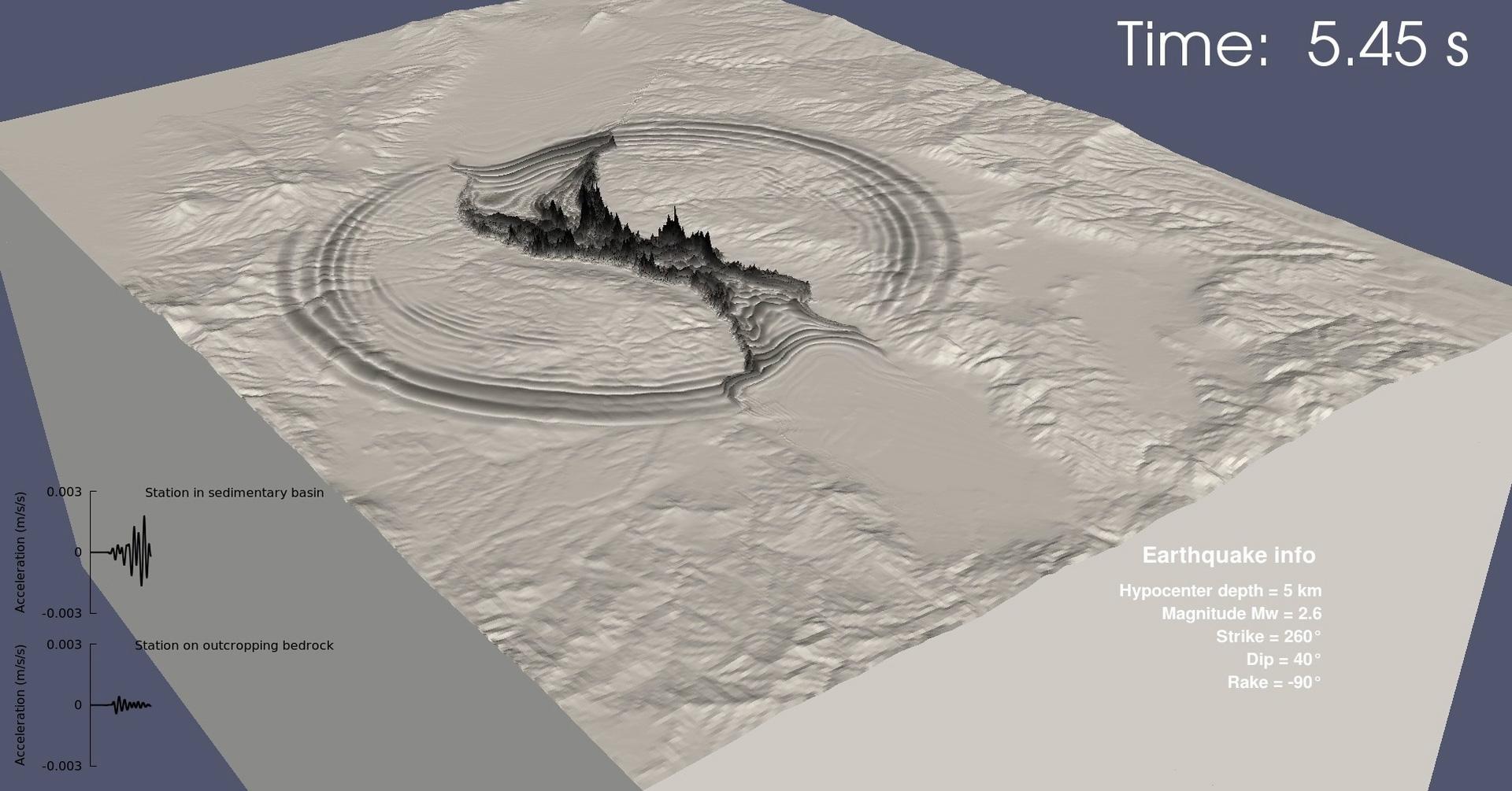
In the second phase, for the areas of highest risk identified by the scenarios, a specific survey could be carried out in order to implement seismic microzoning on a scale of 1:25 000 or 1:10 000 in the areas at risk, detailing soil classes and specific spectra. This microzoning could include a specific 3D survey to take account of the potential aggravating effects associated with the geometry of the basin.
Using the results
The short-term objective is to be able to quickly initiate any data acquisition needed to assess the seismic risk more precisely. Partnerships with the academic world (in particular with the École et Observatoire des Sciences de la Terre) are also envisaged for this upcoming phase.

This study is highly important and decisive for our region. It gives us a general picture of the seismic risk in Saint-Louis, enabling us to meet the expectations of the Ministry of Ecological Transition and Territorial Cohesion. This is the first time that we have collaborated with BRGM on the subject of seismicity. This first phase provides the basis for an upcoming second phase that will acquire more detailed data.


