Issues and needs
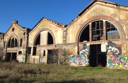
In accordance with the ALUR Act, urban renewal must ensure that the reconstruction of an urban area takes place on the area it currently occupies and wasteland is re-qualified by reclaiming abandoned spaces, in order to stem the growing phenomenon of soil artificialisation and loss of agricultural land. However, the chemical characteristics of the soils are often poorly known, particularly in urban areas where soils have been affected by deposits due to various atmospheric emissions (factory discharge, road traffic, district and individual heating, etc.) and are often made up of backfill marked by previous activities.
In France, there are no regulatory guide values for distinguishing polluted from unpolluted soil. Soil diagnosis is based on a comparison of its quality with that of adjacent soils (for control purposes) and taking its uses into account. In addition, the recovery of excavated soil during rehabilitation works is subject to strict regulations. These two operations contribute to optimising urban development and planning current and future land use (agricultural, residential, etc.) while ensuring that the population is protected. They are based on knowledge of diffuse concentrations of elements or persistent substances in soils, both of natural and anthropogenic (human activity-related) origin: the soil geochemical background (SGB) of anthropogenic soils.
However, the current data do not cover the entire area. They mainly relate to rural areas and do not always meet the requirements of managers of polluted sites and soils.
Our added value
BRGM is the benchmark institution in the field of polluted sites and soils and supports the Ministry of Ecology in developing a national methodology for managing risks related to past pollution. Its interdisciplinary teams are involved in acquiring, pooling, processing and using soil quality data.
For this purpose, they have compiled a national soil analysis database (BDSolU) for determining the SGBs of anthropogenic soils in order to diagnose potentially polluted soils and recover excavated soil in urban areas. Carried out in collaboration with BRGM's network of partners (ADEME, INRAE, eOde and Mines ParisTech), this work is included in the programmes of the GIS SOL Scientific Interest Group.
With its knowledge and the experience of its geochemists, BRGM can help you map your area for the purposes of its rational development, for example by identifying priority areas that should be subject to special management measures. This approach can obtain support from the Urban History Inventories, which it also complements. It includes:
- Using data already collected during previous soil surveys;
- Acquiring new data to supplement the spatial grid of the area:
- Establishing the sampling strategy, taking the spatial variability of substance concentrations into account;
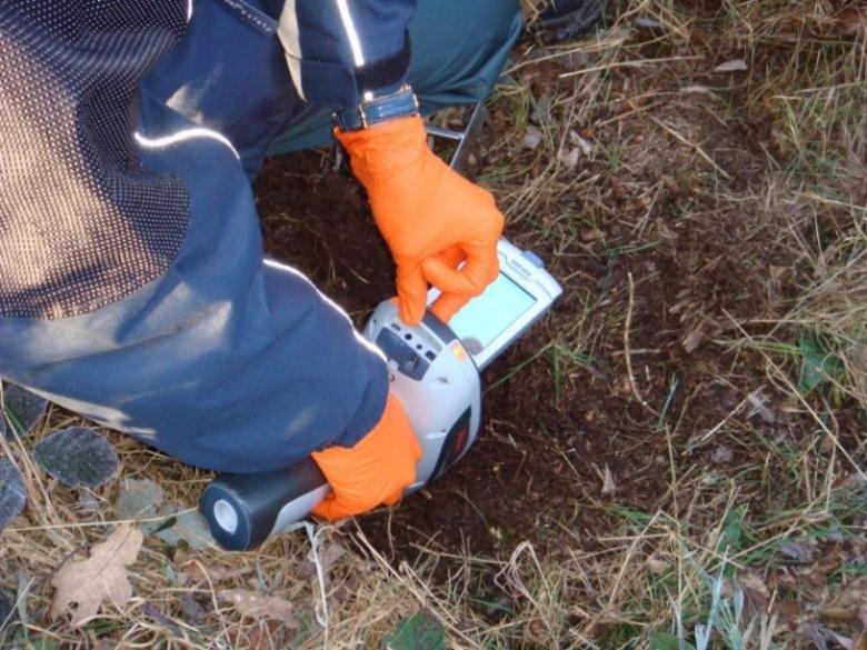
- Carrying out surveys and taking readings and samples;
- Analysing metal-metalloids (lead, copper, zinc, chromium, mercury, nickel, arsenic, etc.) and persistent organic compounds (PCBs - polychlorinated biphenyls, dioxins and PAHs - polycyclic aromatic hydrocarbons).
- Characterising SGBs for anthropogenic soils by statistical and geostatistical processing;
- Producing three-dimensional maps and information systems of urban soil quality;
- Identifying possible anomalies related to previous activities on different scales.
The data used are added to the BDSolU urban soil analysis database, improving overall knowledge of the land across France. Developers interested in this operation can obtain financial support from ADEME.
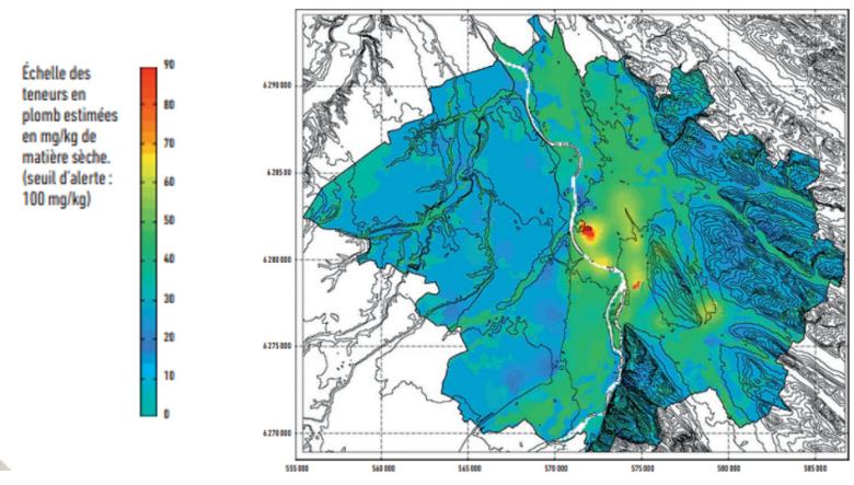
Geostatistical map of SGB lead levels in anthropogenic urban soils (Toulouse Metropolitan Area, 2019).
© BRGM
Technical and digital resources
- Guidelines for determining background values in soils on either a site or a territorial scale with ADEME (French Environment and Energy Management Agency)
- Laboratories for the analysis and characterisation of mineral materials
- BDSolU: urban soil analysis database
- InfoTerre BRGM's data website with its maps section and its polluted sites and soils section
- Georisques website for risk-related data, particularly on soil pollution (SIS, BASIAS, BASOL)
References
- Determination of SGBs for anthropogenic soils in the Toulouse Metropolitan Area
- Statistical analysis protocol for the construction of an SGB for anthropogenic soils
- Establishment of urban soil geochemical background values on a national level
- Development of soil information sectors (SIS) in accordance with the ALUR Act
- GeoBaPa: a reference system to improve the management of soils from the construction industry

