Your challenges and needs
The hazardous products used on certain sites or transported along certain linear infrastructures are a potential risk for the surrounding environment, particularly with regard to surface and ground water.
Knowledge of the vulnerability of the environment below a site or downstream from it, or even along a stretch of linear infrastructures (roads, pipes, networks, etc.), makes it possible to define priorities for interventions and to adapt the resources to be deployed in the event of an accidental spill. It is also a way of complying with an organisation's CSR policy .
A thorough study of the vulnerability of the environment provides operators with valuable information to enable them to limit the impacts and ensure the sustainability of their activities.
To do this, the manager must have a simple and robust tool such as “vulnerability sheets” for each of his sites, with baselines and reliable databases that are enforceable.
Our added value
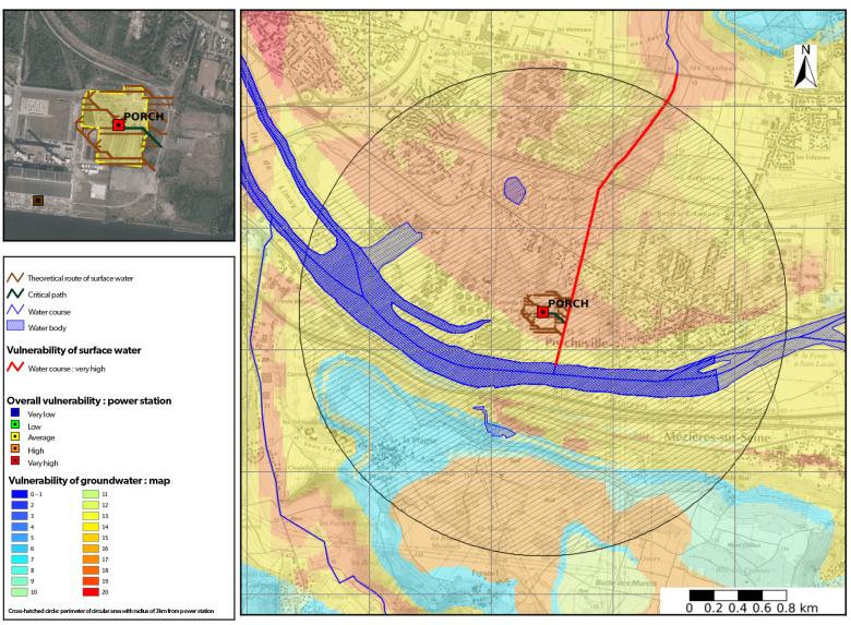
The vulnerability analysis developed at BRGM makes it possible to establish an objective ranking of a group of sites by cross-referencing environmental information sources. Our teams use exclusive data to develop and update maps:
- French BRGM reference system on hydrogeological entities (BDLISA);
- Morphological index of infiltration and depth of groundwater;
- Ground map (classification Guide des Terrassements Routiers [roadworks guide classification]) derived from the geological map at 1:50,000;
- Cross-referencing of BRGM databases to specify the environmental context (BDCarto, BDCathage, BDAlti, database of water catchments, floods, etc.).
A specific vulnerability analysis for a few families of chemical elements completes the information, taking into account the intrinsic characteristics of the molecules (degradation, leaching, etc.).
Beyond this classification, vulnerability sheets can be produced with thematic mapping and the particularities of each site. This information is filed and can also be made available through mapping webservices. This unique methodology is based on:
- GIS processing from heterogeneous data under a new BRGM system allowing simple updating of information and the creation and management of specific databases;
- Hydrological and hydrogeological expertise of ground and subsurface and geochemistry, allowing analysis and targeted use of data for vulnerability assessments;
- Mapping webservices and the creation of automated map sheets;
- The creation of a virtual machine allowing automatic calculation for new sites.
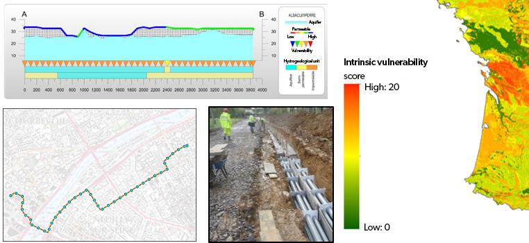
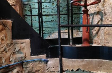
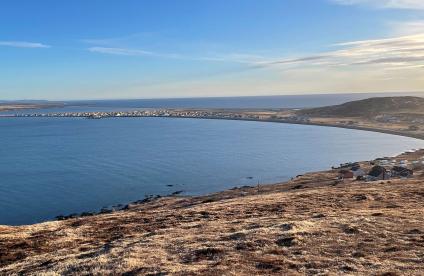
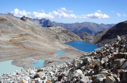
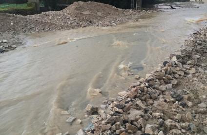
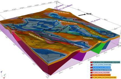
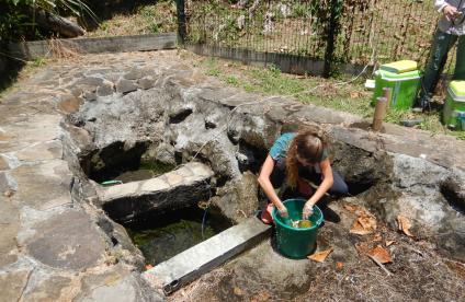
Linear-infrastructure specific vulnerability calculation approach (read from top to bottom and from left to right): cross-section along a linear infrastructure, photos of the transport network, corresponding vulnerability map.
© BRGM
Digital platforms and tools
- GENIE platform with geochemical calculation programs using thermodynamic and kinetic databases;
- GIS tools Arcgis, PostGIS, Qgis, PostgreSQL;
- MapServer, WMS, JasperReports;
- Linux virtual machine dedicated to calculations.
A few references
- Analysis of the impact of the sites of the operator of an energy transmission network: production of thousands of vulnerability sheets and a uniform database;
- Production of subsurface vulnerability maps with a multi-site or national approach;
- Characterisation of the vulnerability of various aquifers (RP-60222-EN: Multi-use management of a karst hydrosystem);
- Assessments of vulnerable areas related to agricultural pollution (RP-69118-EN: Transfer of nitrates in the Loire-Brittany basin);
- Diagnosis of the vulnerability of drinking water supply (RP-69310-EN: The problem of chlorides along the Moselle axis);
- Identification of areas with low vulnerability to surface pollution for the selection of sensitive sites.
To find out more
References
Solutions


