The need
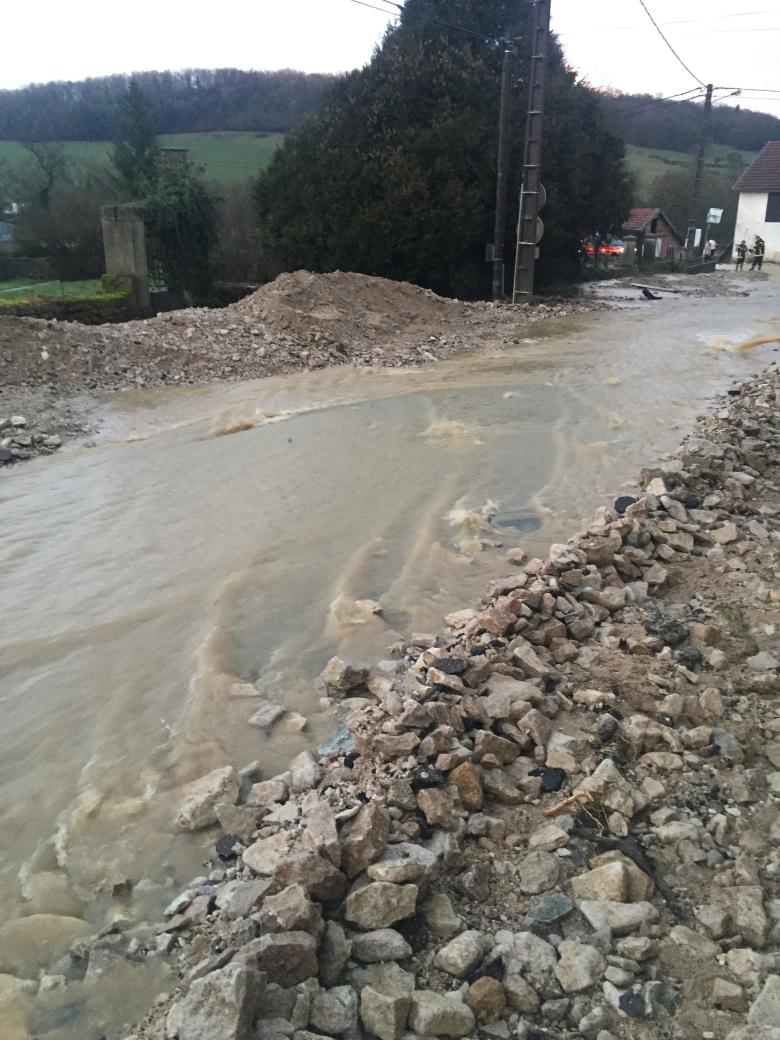
In recent years, the Sequana EPAGE area has suffered from mudslides, which have caused damage to infrastructure and homes, as well as to the quality of watercourses. The EPAGE therefore asked BRGM to map the erosion and mudflow hazard on its territory. The main objective was to identify the most vulnerable areas so that steps could then be taken to protect watercourses and the population.
The results
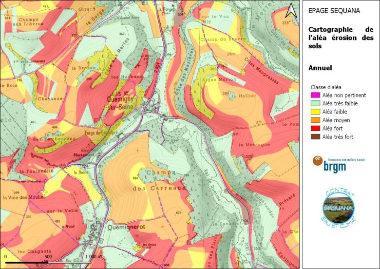
The first phase of the study consisted in making an inventory and documenting the CatNat (natural catastrophe) decrees on mudflows in the EPAGE area, in order to identify sensitive areas and then characterise the conditions that trigger these phenomena by analysing the characteristics of the landscape and weather conditions. BRGM then numerically simulated the erosion and mudflow hazard using the MESALES model. This tool can prioritise, qualitatively and on a large scale, the most productive catchment areas in terms of soil erosion. The results of the modelling showed that:
- Soil erosion occurs mainly in autumn and spring, when the soil is poorly covered and rainfall is highly erosive;
- The upstream part of the Seine river is the most vulnerable to erosion and mudslides, with several of its sub-basins being subject to a medium to high risk;
- Certain municipalities and watercourses would be more particularly exposed to erosion and mudslides in the event of a change in land use (e.g. grassland being ploughed under).
Using the results
Additional work, carried out on a sub-catchment scale using the WaterSed modelling tool, which takes into account specific features of a given commune and quantifies the transfer of runoff and erosion on a fine scale, has made it possible to:
- simulate soil erosion and mudflows according to a given rainfall;
- draw up a strategy for countering these phenomena, based on the use of vegetative barriers and changes in farming practices, and then assessing the outcome.
The results were presented to the mayors of towns prone to erosion and mudflows in order to raise their awareness of these phenomena. Ultimately, the discussions will enable the implementation of acceptable and effective measures in the region to reduce the transfer of sediment from upstream to downstream and thus reduce the risk of erosion and mudflows for watercourses and local authorities.
The partners
- Sequana EPAGE
- Seine-Normandy Water Agency


