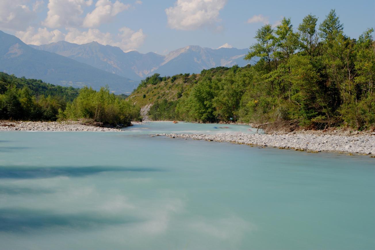
The Durance river in the Hautes-Alpes.
© Adobe Stock - jerane
The Durance basin supplies drinking water to more than one million people via a complex hydro system of surface and ground water (reservoirs, canals, aquifers).
In 2018, BRGM responded to a call for Environmental Health projects launched by ARS PACA, DREAL PACA and the southern PACA region, in order to initiate a dynamic approach to water pollution alerts on a basin scale.
The objective of this project was to set up a system to facilitate exchanges between the organisations concerned by a possible pollution, by equipping them with a common tool for collecting, archiving and disseminating information.
A digital application to warn of possible pollution
This led to a digital application, finalised at the end of 2020, in the form of a Geographic Information System (GIS) which combines:
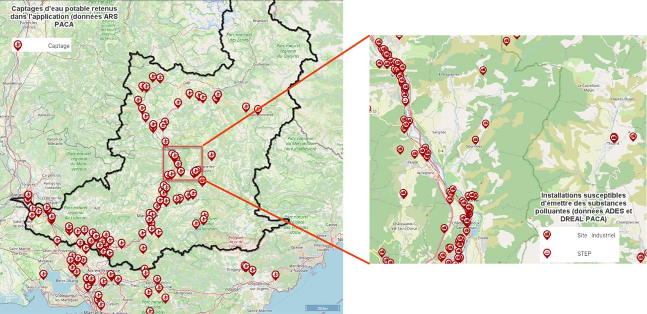
- data concerning potential sources of pollution (mainly from Installations that have been classified for Environmental Protection and from sewage treatment plants);
- data concerning potential pollution "targets" (drinking water catchment structures), as well as data concerning monitoring or “early warning” points, upstream of the catchment structures.

Extract from the digital application for monitoring water pollution in the Durance basin.
© BRGM
Thanks to this application, any pollution affecting one of the points monitored can be referenced, with the potential sources of the polluting substances being highlighted. Accidents involving pollutant spills are referenced and the information is immediately disseminated to the most relevant recipients.
This dissemination, which is technically feasible via the application, nevertheless depends not only on data exchange protocols, but also more generally on the setting-up of a specific organisation to handle this issue, on the scale of the basin. Further reflection is planned on this subject.


