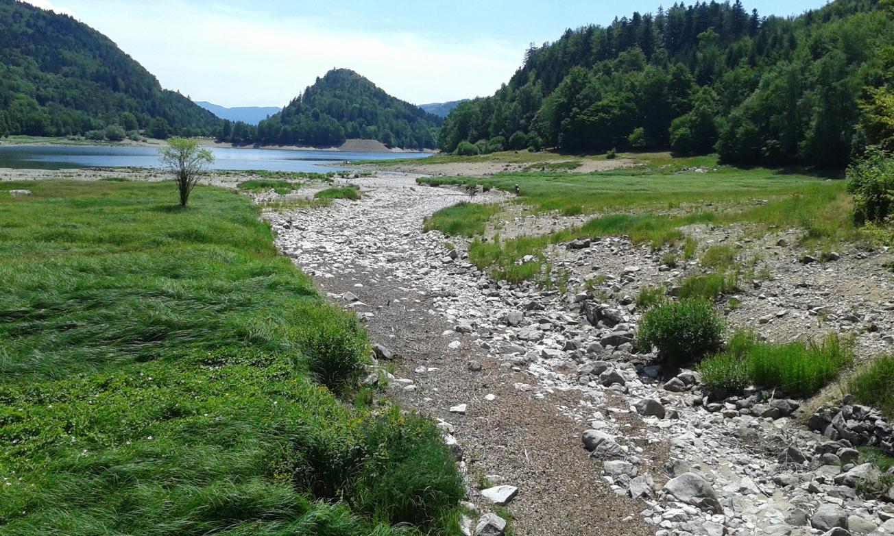
The Thur river, upstream of the Kruth-Wildenstein lake (Haut-Rhin, July 2019).
© BRGM - Murielle Chabart
The need
In the Grand Est region, the Vosges Massif represents a particular challenge in terms of water resource management. The Vosges basement contains a wide variety of rocks, each with its own hydrogeological characteristics, but generally speaking, the basement aquifers do not seem to have sufficient water reserves to resist successive droughts.
The drought periods of 2003, 2011, 2015 and more recently 2018 and 2019 have shown the sensitivity of the Vosges basement catchments and rivers during periods of low water, which has led government departments to determine which measures should be taken in the event of prolonged drought.
The Alsatian Environment Meetings of 18 June 2015 on the impacts of climate change produced the following observation: “Springs in the Vosges are no doubt particularly vulnerable to climate change, and it appears necessary to anticipate this.”
The study conducted by BRGM is fully in line with this anticipation strategy and aims in two successive phases to:
- assess the groundwater resources of the Vosges basement (study completed in 2020);
- define the vulnerability of the resource to climate change.

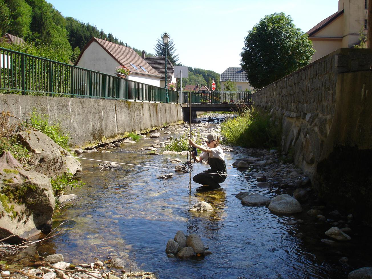
Campaign for measuring water levels on the Thur river in Wildenstein (Haut-Rhin, July 2019).
© BRGM
The results
In 2018 and 2019, geologists and hydrogeologists, applying the new concept of basement aquifers developed in recent years, collaborated to draw-up a map, on the scale of the Vosges massif, of the likelihood of geological formations with an alteration profile that could be a “potential water resource”.
The analysis of hydrogeological data relating to springs and boreholes tapping the Vosges basement aquifers, the acquisition of new data at low water level in 2019 (preparation and implementation of three campaigns to gauge the flow of rivers, in collaboration with the University of Lorraine) and the comparison of the results obtained at the end of each stage, in particular with the map showing the likelihood of favourable basement formations, led to the identification of the catchment areas with the greatest potential in terms of groundwater resources.
Using the results
The study has thus made it possible to assess the knowledge available on the Vosges basement and to envisage, sharing it in the short term with the greatest number of people, via ad hoc platforms such as ADES, Infoterre or the Rhine-Meuse SIGES. The data is already of interest to several local players: local authorities responsible for optimal management of their resources and who need information to understand them, researchers working locally on resource assessments or any other player with more concrete projects, such as the Ballons des Vosges Regional Nature Park wishing to set up a surface-water observatory.
The data processed show a great disparity in the functioning of the 37 hydrological basins studied. The different hydrogeological systems should now be modelled to take into account their vulnerability to climate change by 2100. The modelling implemented will provide a tool for management of water resources on the scale of the Vosges basement and the possibility of updating it according to the evolution of the local context and the acquisition of new data.

This BRGM study is crucial. It is fundamental research which will enable coordinated environmental management policies to be determined. It opened up certain perspectives and confirmed our fears about the increasing scarcity of water resources. It also gave us the first elements needed to establish plans for more economical management of the resource, a new but very significant problem in this massif, which has long been considered as an almost inexhaustible source of water.


