The aim of the ECORSE 82 project is to improve knowledge of groundwater bodies in the département of Tarn-et-Garonne and produce relevant technical information for the sustainable management of this resource. It is being carried out under the supervision of the Tarn-et-Garonne Departmental Council, with co-financing from the Adour-Garonne Water Agency, the Occitanie Region and BRGM.
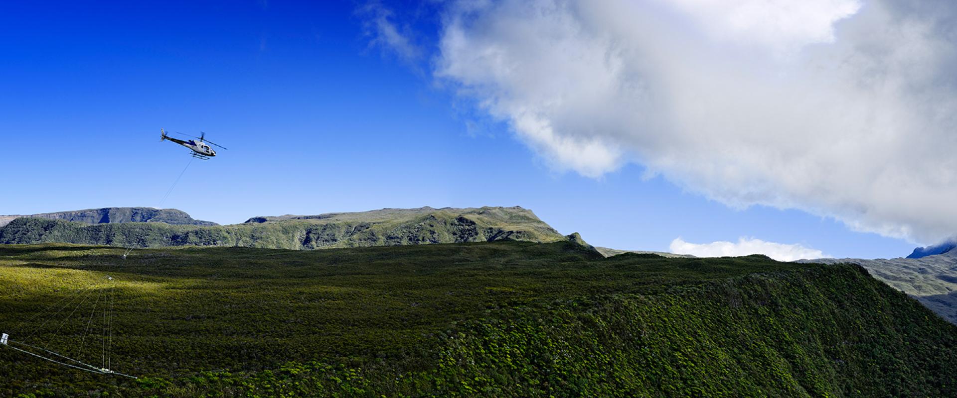
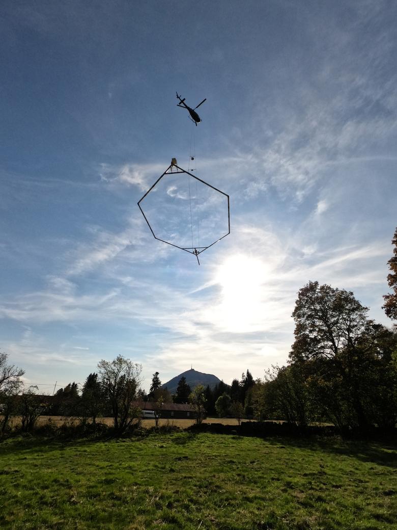
For this purpose, BRGM is launching a helicopter-borne geophysical campaign. Initially planned for a period of one week from mid-September, a helicopter chartered by the Danish service provider SkyTEM will fly over the area known as Quercy Blanc, between the Séoune valley in the west and the Candé-Lère valley in the east. It will carry a 20 m diameter transmitter loop for remote sensing of the subsurface. The helicopter-borne survey will detect differences in electrical resistivity in the subsurface. The measurements will allow geophysicists to locate the boundaries between geological layers and if possible, detect the depth of groundwater bodies, down to approximately 400 m.
A 3D geological model of the Quercy Blanc area to map the groundwater resource
This helicopter-borne geophysical survey campaign is coupled with a geological field survey to find limestone formations hidden under hundreds of metres of impermeable ground, but which may outcrop at the bottom of some valleys.
Campaigns to carry out physical and chemical analyses of the water and measure river flows are also underway to assess groundwater and river interactions.
With all of these data, BRGM scientists will be able to build a 3D geological model of the Quercy Blanc area to have a better idea of where the groundwater bodies are located.
One campaign, two projects
The geophysical survey campaign will cover both the Quercy Blanc area as part of the ECORSE 82 project, and the adjoining départements (Lot-et-Garonne, Lot, Dordogne and Charente) as part of another groundwater research programme, known as Eaux-SCARS.
Since the end of the 1990s, BRGM has launched several airborne geophysical data acquisition campaigns, which have helped refine our knowledge of France’s subsurface. The new methods developed over the last ten years and the use of helicopters have considerably improved the quality of the data obtained.


