Located in the south-west of the Indian Ocean, La Réunion is the only European Union region in the southern hemisphere. Covering a surface area of 2,520 km2 – more than three times smaller than the smallest regions in mainland France – it is the third most densely populated region of France, with 860,000 inhabitants. Having recently enjoyed a level of economic growth that was much higher than in the rest of France (3.2% in 2017), this rate has slowed since 2018 (1.7%). Today, La Réunion's economy remains fragile, with a high unemployment rate (around 25%).
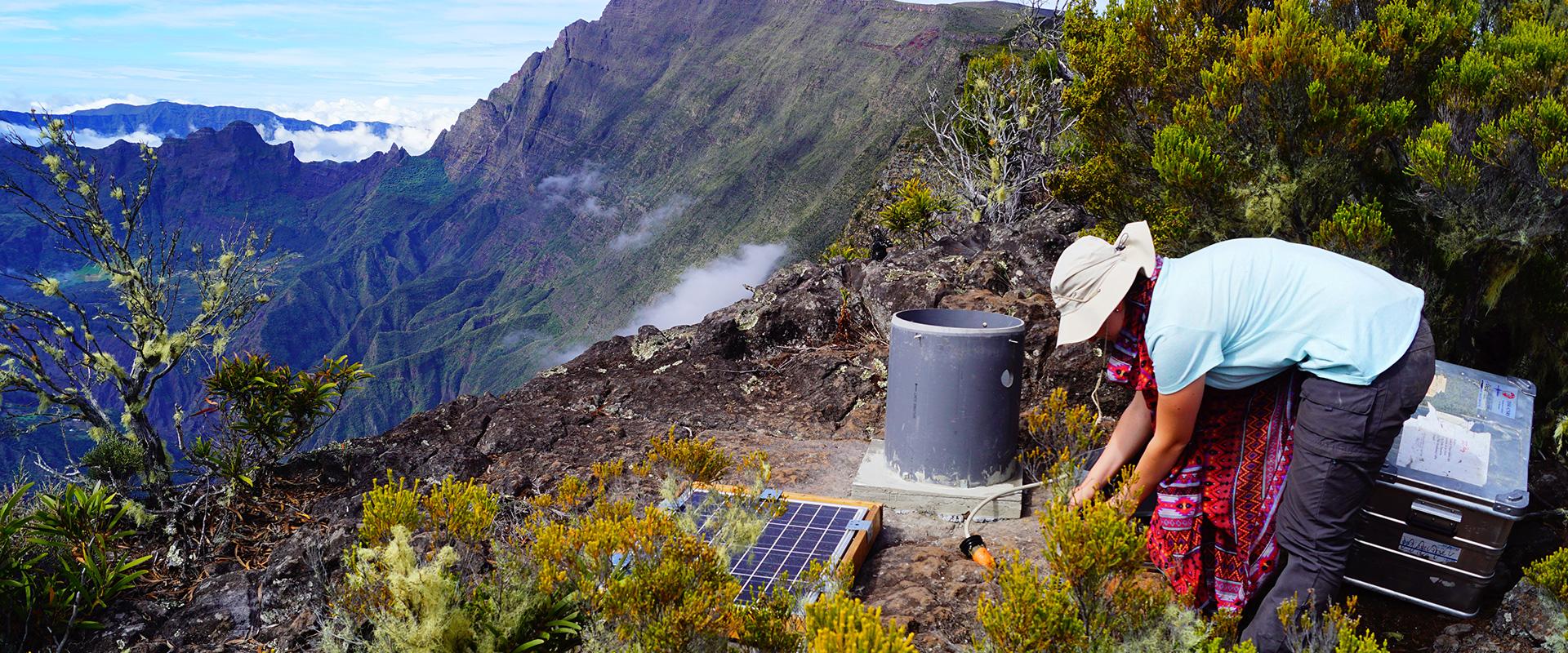
The island has two volcanic mountain ranges: the Piton des Neiges, whose volcano last erupted around 12,000 years ago (moreover, its peak forms the highest point in the Indian Ocean, with an altitude of 3,071 metres) and the Piton de La Fournaise, a highly active volcano, which erupts every nine months, on average. The island has a tropical climate characterised by high rainfall, but with great variability in terms of both season and location (the west is arid, whereas the east is very wet, with world records in terms of rainfall intensity). This phenomenon has resulted in intense erosion and a very rugged, abrupt topography. The island is also subject to regular cyclones.
La Réunion requires geoscientific expertise to address several challenges: demographic pressure and limited available land, the globalisation of trade, natural hazards and climate change, the management of natural resources and waste, and the island's dependence on imported fossil fuels.
Partners
- Public: DEAL, la Réunion Regional Council and the Departmental Council., Water and waste management syndicates, EPCI, Municipal councils, DAAF, ARS, Prefectures, Water Office, ADEME, OFB, ONF, PNR.
- Scientific: University of La Réunion, LACY, CIRAD, OVPF, Météo-France.
- BRGM is a member of the: CDSCRNM, CEB, the GREEN cluster, CMUB-SOI, CTR, MISEN, CODERST, CESER, REVOSIMA.
Practical information
To find out more
What's new in La Réunion?
Risk management and spatial planning
Knowledge and prevention of coastal and gravity hazards
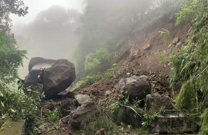
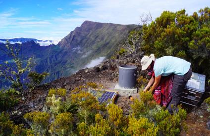
La Réunion is particularly exposed to natural hazards, due to its recent geological context, tropical climate and the resulting topography. Since 2004, BRGM has been carrying out morphodynamic monitoring of La Réunion's coastlines ("OBSCOT" programme), in partnership with the DEAL and the Réunion Regional Council.
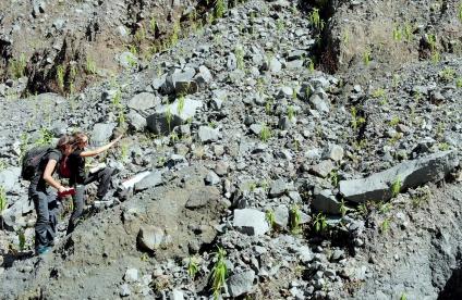
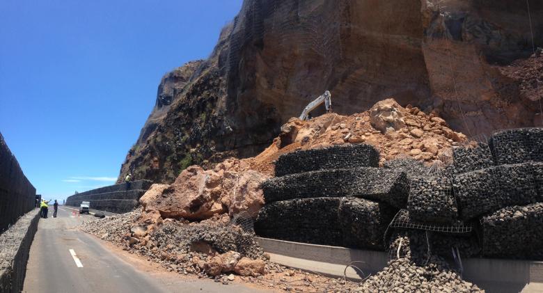
Since 2018, BRGM had been conducting two major research projects on erosion and gravity-related phenomena ("RenovRisk Erosion") and on coastal risks ("RenovRisk Transfers") in La Réunion in order to improve knowledge in these areas. From an operational viewpoint, BRGM intervenes in crisis situations (geological surveys, natural hazards), notably along road networks, and provides support to EPCIs (Inter-municipal Public Cooperation Organisations) within the framework of the GEMAPI plan (French national plan concerning the management of aquatic environments and flood prevention). It also makes recommendations concerning the management of coastal areas.
In addition, BRGM helps draw up Natural Risk Prevention Plans (covering multiple forms of hazards and coastal risks). It contributes to adapting national methodologies and improving knowledge of gravity-related phenomena (landslides, rock falls etc.) in the local context.
More recently, BRGM has been addressing the issue of the land-sea continuum, by carrying out assessments and modelling studies to support decision-making for management strategies.
Management of polluted environments
The fact that La Réunion is an island means there are specific challenges in terms of waste management and the circular economy.
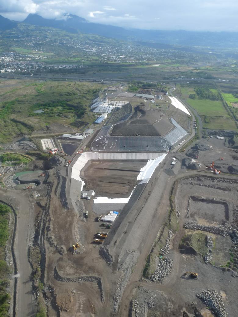
BRGM provides its expertise concerning the recycling of certain types of waste and helps EPCIs develop and operate storage centres for household and small-business waste. BRGM is a project-management consultant on local authorities' projects concerning the rehabilitation of former landfill and polluted sites in their areas.
BRGM is also involved in developing waste-recovery/recycling channels to promote the circular economy.
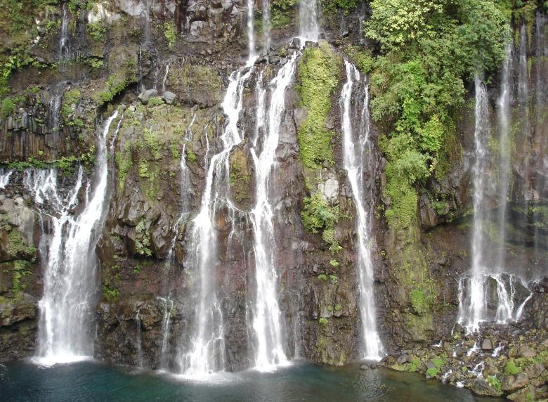
The Grand-Galet waterfall pours out of volcanic rock left by lava flows (Saint-Joseph, La Réunion, 2005).
© BRGM - Pierre Vassal
Groundwater management: knowledge and protection of resources
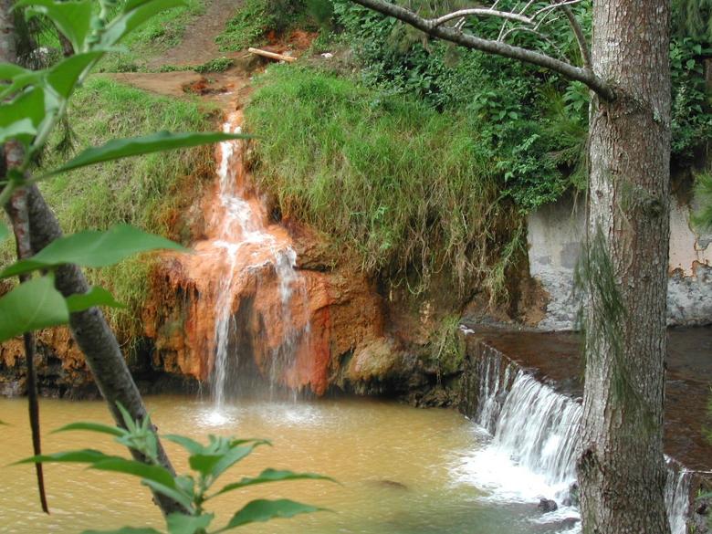
There are abundant water resources in La Réunion but they are unevenly distributed. The island setting means the groundwater resources are highly vulnerable in the coastal areas (saltwater intrusions). Moreover, the quality of the water is an increasingly pressing concern.
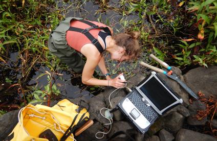
Several projects are underway to develop methods for estimating the volumes of water that can be extracted, taking into account the salinisation of coastal aquifers, the purpose being to ensure that resources are shared responsibly so as to meet the needs of both users and the environment. BRGM is carrying out surveys to find new resources. It also works to protect water quality through studies on how contaminants are transferred into groundwater (nitrates, phytosanitary products, emerging molecules, etc.).
Geology and knowledge of the subsurface: improving knowledge about the subsurface
Improving geological knowledge is crucial for BRGM's research and application developments.
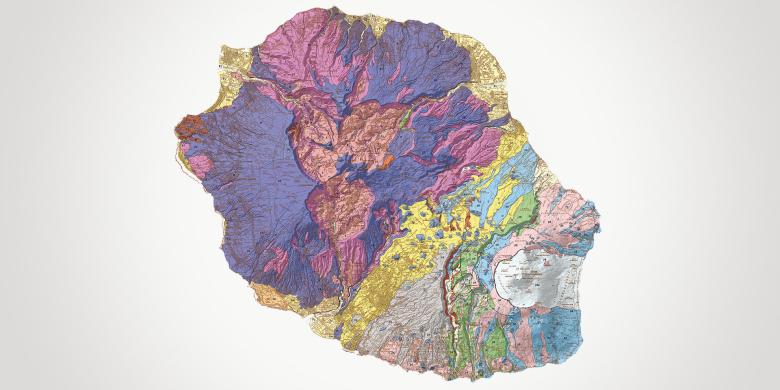
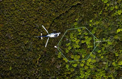
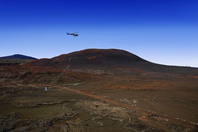
In 2014, the REUN_EM programme (heliborne electro-magnetic and magnetic geophysical survey of La Réunion) enabled our teams to produce a 3D map of the island's subsurface. Several other projects have resulted from this: mapping of material resources, exploration for new groundwater resources, atlas of saltwater intrusions, imaging of areas prone to landslides, etc.
Energy transition and the subsurface: geothermal energy development
La Réunion has always attracted interest in terms of its geothermal potential and numerous exploration studies have been carried out there, although no facilities have yet been built.
The existing geothermal knowledge has now been synthesized in order to determine the most suitable areas for developing medium and high-temperature geothermal energy. BRGM is involved in various research initiatives aimed at defining and characterising the geothermal exploitation potential on the island.


