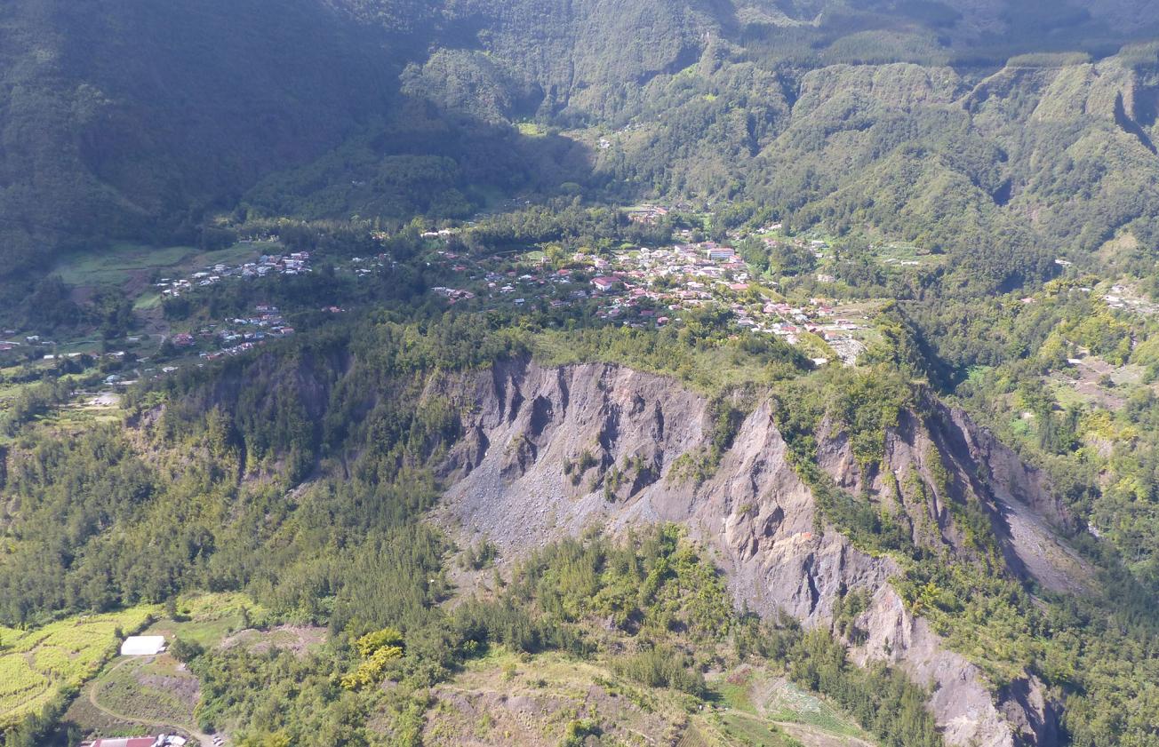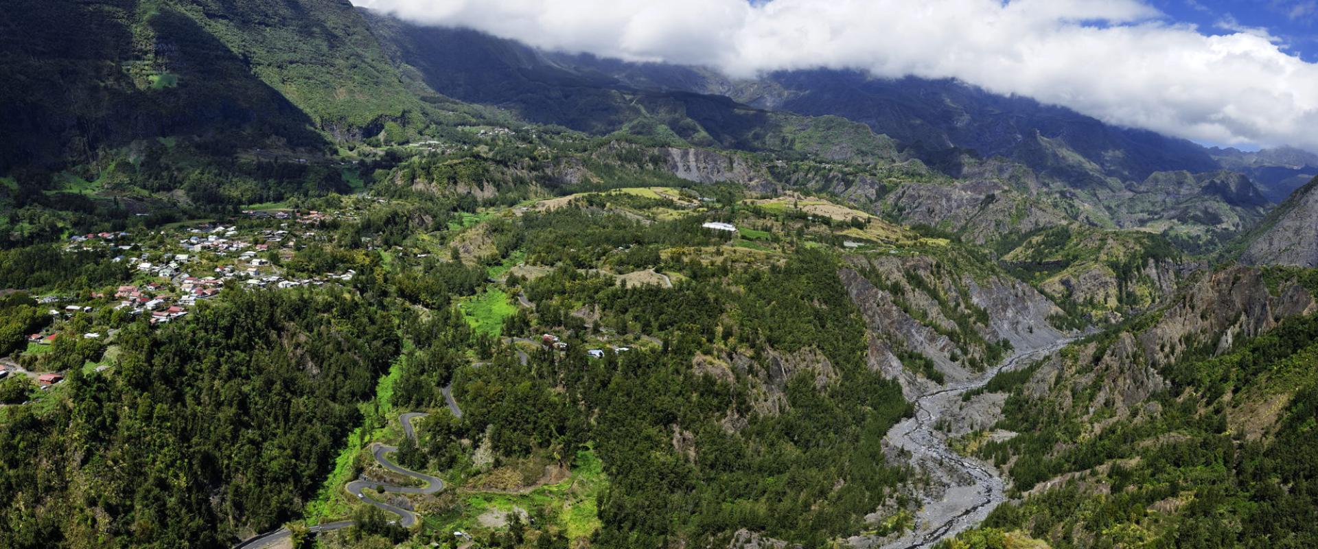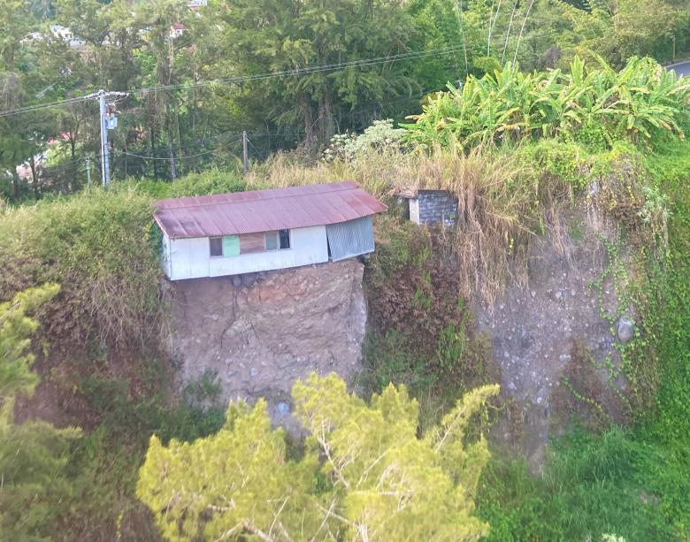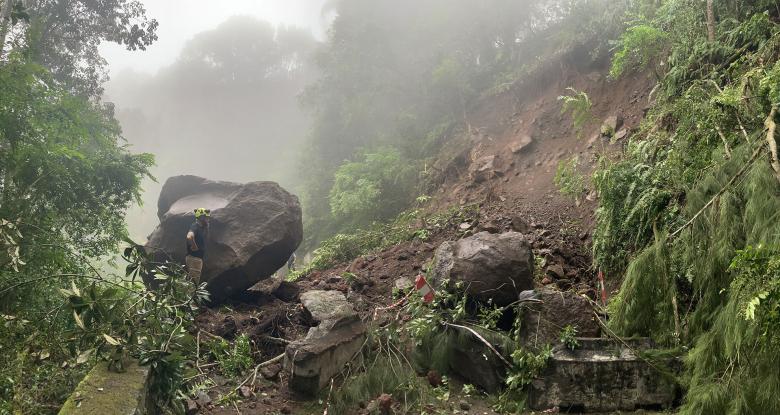
Village of Hell-Bourg, close to where the large-scale landslide at Fond de Rond-Point (Salazie, La Réunion) started
© BRGM
The need
The high-ground instability hazard affects around 80% of the Salazie area. The Cirque's human, socio-economic and building assets are therefore particularly exposed to these phenomena. In order to guide risk management policies in a coherent, hierarchical manner and prioritise the safety measures to be taken, BRGM undertook a regional risk mapping study. The aim of the study was to assess the hazard for phenomena likely to occur on a generational scale (30 years) and to characterise the issues at stake in detail, by incorporating a socio-economic dimension.
The results
Seven types of issue were taken into account for this study: human lives, the social vulnerability of the population, economic activity, buildings, vital networks, critical infrastructures and cultural heritage (monuments). The perception of risk and the relative importance of the various types of issue were defined using a hierarchical multi-criteria analysis based on consultation with a number of local stakeholders (elected representatives, technicians, experts, etc.).
Overall, the "human lives" issue stands out as having the most weight. However, perceptions of this category vary widely, particularly between elected representatives and technicians. Elected representatives tend to prioritise the functioning of the region, while technicians/experts prioritise the protection of the population. The mean weight assigned to each category of issues was used to produce the risk map. This corresponds to the cross-referencing of the risk of ground movement and the map of prioritised issues. This risk map identifies the sectors with the highest concentration of issues that are subject to a high risk of ground movement. The most exposed area is the Salazie-village/Camp Lilas sector. A risk map has been produced for each type of hazard (boulder falls, landslides, large-scale slow earthflows), providing guidance on the most appropriate safety measures for each phenomenon. The risk map thus produced makes it possible to identify the sectors that are most exposed to gravity phenomena and to prioritise the safety measures to be taken. It also allows us to identify areas that are less exposed to risk, where future urban development could be envisaged.
Finally, a number of safety measures that could be implemented in the sectors identified as most at risk were compared using a preliminary, semi-fictitious, cost-benefit analysis (CBA). The aim of this final stage, which was still exploratory, was to start investigating the use of cost-benefit analysis in the field of gravity risks by means of concrete cases.
Using the results
As part of the development of a regional strategy for the prevention of gravity-related risks, this study provided objective ranked data on the sectors most at risk and for which safety measures should be given priority throughout the Cirque de Salazie. The methodology used for the Cirque de Salazie can be applied to other areas subject to natural hazards. Exploratory CBA, on the other hand, will most likely be developed further, even if the discussions that have begun have led to the development of a CBA doctrine applied to gravity risks.
The partners
- DEAL Réunion
- Municipality of Salazie
Public reports
-
Mapping the socio-economic vulnerability of a region subject to landslides - Ranking the level of risk (Cirque de Salazie, La Réunion)
-
Characterisation of boulder-fall and landslide hazards for different reference periods (STEPRIM approach) - Application to two pilot sites in the Cirque de Salazie - Final report


