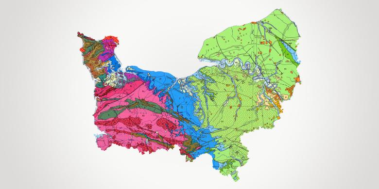
With three major urban centres, Caen, Le Havre and Rouen, Normandy is made up of five départements (Seine-Maritime, Eure, Calvados, Orne, Manche) and has 3.3 million inhabitants. The region has 640 km of coastline and eight commercial ports. With a strong maritime tradition, supporting the region's well-established industrial and business sectors (as well as those of neighbouring regions, particularly Ile-de-France), Normandy has also managed to take full advantage of its rural assets to develop several dynamic sectors, such as tourism, food processing and equestrian sports.
The spatial-planning and economic objectives of the region, which has a long-standing industrial tradition, have been set out in the "Regional Master Plan for Economic Development, Innovation and Internationalisation" (SRDEII) and the "Regional Master Plan for Spatial Planning, Sustainable Development and Territorial Equality" (SRADDET), to which BRGM contributes its specialised expertise.
BRGM Normandy employs a staff of 9 engineers and technicians at its regional head office in Rouen. It regularly draws on the support of a dozen engineers in Orléans who work on projects in Normandy.
Partners
BRGM has extensive experience of both public and private partnerships. It works on projects to help shape public policy, or for public and private research in response to industrial requirements, as well as training projects aimed at every level of spatial planning and decision-making in the region: Prefectures, DREAL, DDT(M), ARS, DRAAF, Seine-Normandy Water Agency, local authorities (Region, Départements, Cities, conurbations and towns, EPCI, rural municipalities, etc.), Water management syndicates for catchment basins and rivers, SAGE, Regional Parks, ADEME, Eau de Paris, Universities, Public Research Facilities, Associations (caving, fishing).
BRGM also works with private companies of all sizes to develop methodologies for Research, Development and Innovation aimed at supporting their various fields of activity.
Practical information
What's new in Normandy?
Groundwater management
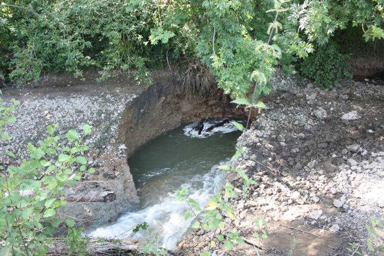
The region's drinking water supply faces various threats, linked to the area's heavy industrial past (resulting in metallic and organic pollution), a dynamic agricultural sector (source of diffuse pollution: nitrates, pesticides) and the fragile nature of the subsurface and vulnerability of the water resources.
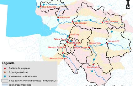
BRGM has contractual agreements with the major local authorities (Métropole Rouen-Normandie, Le Havre Conurbation, Caen-la-Mer, etc.), local authority groups (Caux-vallée-de-Seine), water management syndicates (Orne Departmental Water Syndicate, Public-Private Syndicate for the Cailly-Aubette-Robec Water Management Plan (SAGE), Public-Private Syndicate for the Commerce river valley (SAGE), etc.), and the Water Agency to carry out surveys of water resources and to set up tools for managing and protecting these resources:
- mathematical and numerical resource-management models
- geographical databases
- management policy systems
- monitoring and early-warning networks, etc.
- BRGM's mission is also to assess the extent and characteristics of pollution, to trace its origins, analyse its paths and propose solutions to protect the resources.
And also:
- searching for alternative resources
- assessing the impacts of climate change on water resources
- assessing the vulnerability of resources
- active water resource management
- managing wetlands and relationships with ecosystems
- project management assistance, etc.
- training professionals about urban and broader water cycles and regional specifics (swallow holes or karstic cavities, signs of potential swallow holes, etc.)
- involvement in teaching in schools and universities
Risks and spatial planning
Natural hazards and coastal risks
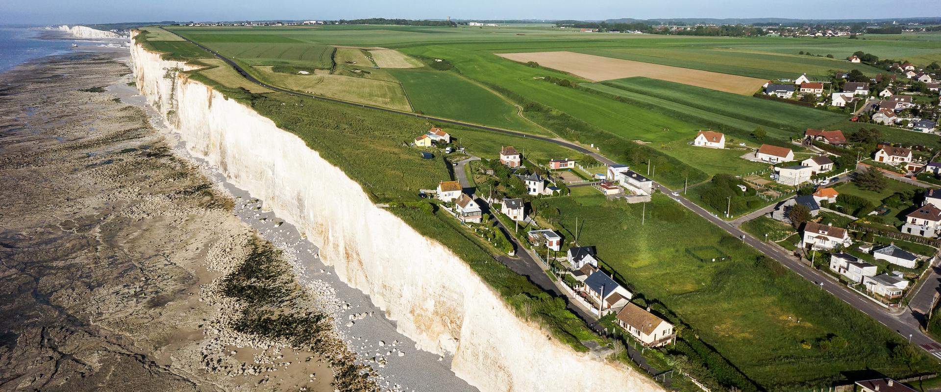
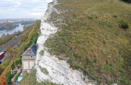
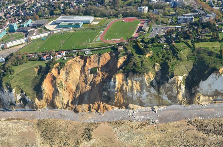
The coastal area has been extensively developed and is particularly vulnerable in low-lying areas. It is highly exposed to coastal flooding, saltwater intrusion and coastal erosion, potentially threatening coastal populations, infrastructures and aquifers. The risks along the 640 km of coastline are further exacerbated by the fragility of the subsurface, which is a factor behind rockfalls and cliff landslides. On a genera level, the whole of Normandy is vulnerable to collapses linked to swallow-holes (karsts), old chalk pits and quarries (in chalk-based areas), and by rockfalls that can occur on the cliffs that rise from the region's many valleys, which are often heavily urbanised. Finally, the strong interaction between surface water and groundwater can lead to flooding.
BRGM has an agreement with the French Ministry of the Environment, the DREALs and the DDTMs to identify and characterise chalk pits and former quarries, model landslides and assess the stability of quarries and cliffs (e.g. a study is in progress throughout the Eure département to identify risks, model rockfalls and their trajectories, etc.).
It also develops decision-making support tools for the purpose of spatial planning in the region.
BRGM's work focuses on:
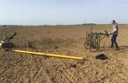
- finding new indirect (geophysical) techniques for detecting chalk pits
- 3D mapping of former underground quarries
- assessing and modelling the risks of saltwater intrusions in coastal aquifers, taking into account the impact of climate change
- modelling the risks of coastal flooding and drawing up maps for risk prevention plans, which take the impact of climate change into account
And also:
- training staff from regional and decentralised government departments in natural risks, and how to identify and manage swallow holes
- involvement in teaching in schools and universities
- involvement in the Normandy-Picardy Coastal Monitoring Network (ROLNP)
- management of the land-sea interface
- solutions to help adapt to climate change
- project management assistance
Polluted sites and soils: industrial wastelands
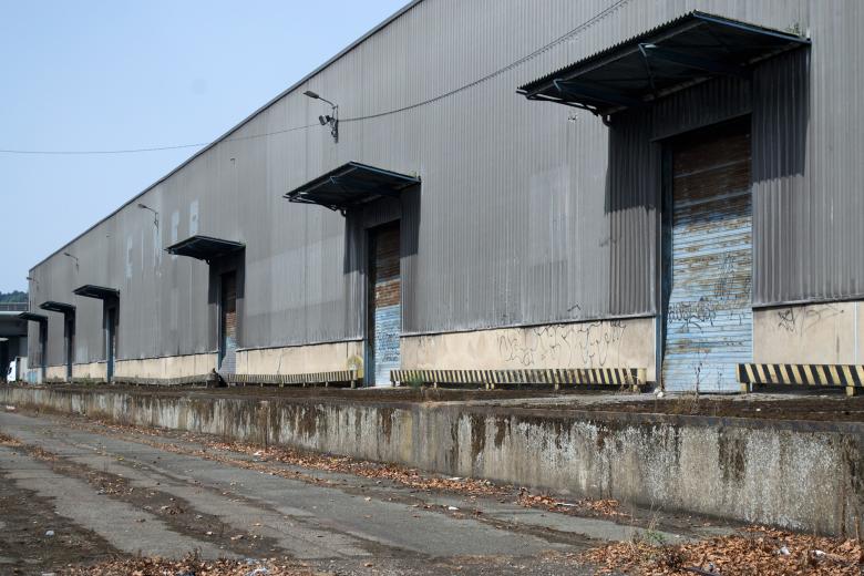
Intense industrial activity has left polluted sites and soils on industrial wastelands in a large number of valleys, particularly the Seine valley. These plots of land must now be rehabilitated to make way for various new industrial and service-sector projects, collective housing, roads, eco-neighbourhoods, etc.
Many of BRGM's studies focus on industrial wastelands. They address a whole range of characterisation and rehabilitation issues:
- specific studies
- audits and consulting concerning the characterisation of different types of pollution
- risk assessments as regards water resources and local inhabitants
- expertise for management plans linked to real-estate transactions or for the rehabilitation of industrial wastelands
- involvement in information days concerning new decontamination techniques and on regulatory developments.
And also:
- the circular economy, the reuse of excavated soil
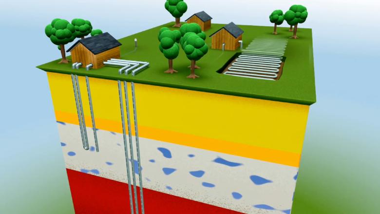
Different types of below-ground heat exchangers for geothermal heat pumps at the BRGM's experimental geothermal energy platform (Orléans, Loiret, 2009).
© BRGM
Subsurface potential for the energy transition: wind and geothermal power
As France's leading region in terms of energy production, Normandy is today working to promote energy transition and aims to actively develop renewable energies, particularly offshore wind power and geothermal energy.
In order to support the development of renewable marine energies, BRGM is mapping the geology and structure of the seabed for the installation of offshore wind farms.
In addition, it is conducting various studies and analyses aimed at the development of geothermal energy – in particular very-low-enthalpy geothermal energy for heat pumps – through the mapping of geothermal potential and risks.
And also:
- project management assistance
- heat storage studies
- co-organisation of the Regional Awareness-raising Day on "Very-Low-Enthalpy Geothermal Energy"


