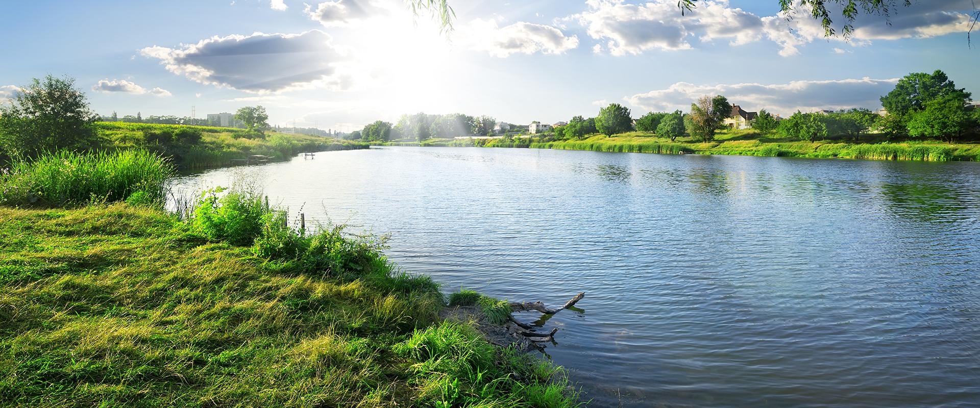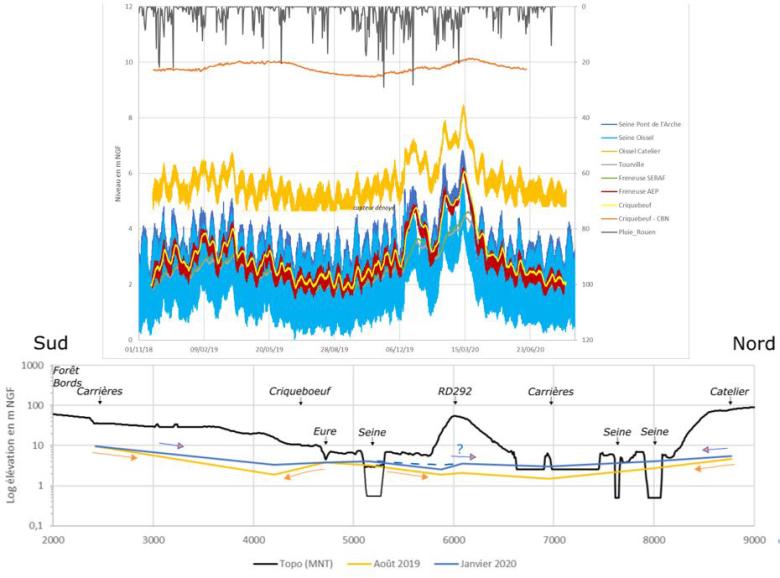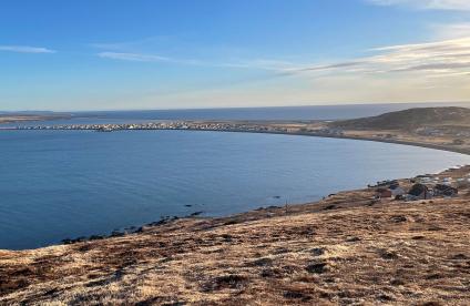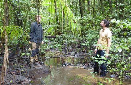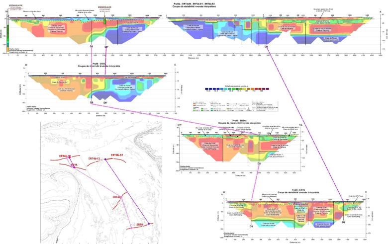
Geophysical investigations (electrical profiles) carried out around the Seine fault on the Poses loop trail, in the Eure département.
© BRGM
The need
The Metropole Rouen Normandie is supplied with drinking water, two-thirds of which, on the one hand, come from resources of karstic origin from the Chalk aquifer system, whose quality is subject to deterioration due to rainfall, agricultural practices and regional development and whose quantity depends on the climate and, for the remaining third (75,000 m3/day), from a relatively stable resource, in the chalk aquifer, but under the influence of the alluvial Seine aquifer, which is threatened by the traditional industrial and urban activities in the valley. The effects of climate change are also expected to reduce the availability of karst water resources, most likely with an increased risk to their quality.
To define its long-term production strategy and anticipate strain on water resources, the Metropole Rouen Normandie has commissioned BRGM to undertake a study (2017-2022) to increase knowledge of the entire local hydrogeology and to identify available resources which could possibly be developed to secure the environment.
The results
A mathematical resource management model, based on a 3D geological model, is being developed, and innovative coupled investigation methods, notably using cross-matching geophysical techniques, are being developed to search for favourable sectors for the exploitation of one or more new resources in the chalk-alluvial complex of the Seine valley, upstream from the Rouen conurbation, up to approximately 50,000 m3/day.
The work is being carried out in several stages, including (1) a study of current and historical activities and the associated pollution risks, (2) a synthesis of geological and hydrogeological knowledge, supplemented by field investigations using geophysical, hydrogeological and geochemical methods in a complex sector crossed by the regional fault system of the Seine, (3) the design of a programme of in-depth investigations (drilling, pumping and quality monitoring) of the sectors of interest identified, to determine their characteristics and precise hydrodynamic functioning, (4) the estimation, for these sectors of interest, of their potential for safe exploitation (without risk from previous historic pollution) using the water resource management model and (5) the pre-sizing of the future catchment fields and the recommendations for the exploitation scheme
The results obtained at this stage are extremely positive and will enable the partners to determine which environments are favourable for the exploitation of new alternative resources that could meet the best quality and safety criteria in spite of chronic and accidental pollution, as well as climate change.
Concomitantly, a synthesis is being made of knowledge of the strategic resource of the Albian-Neocomian aquifer, and recommendations concerning possible production capacities, given existing regulations, will be proposed to meet critical needs (particularly to overcome shortages) of the water supply.
BRGM enables us to develop a long-term strategy based on prospection and anticipation. Thanks to the study carried out, we will be able to undertake test drilling this year in a target area, to better understand the potential for finding alternative resources. This will provide us with data to define our new drinking water supply and distribution master plan and our production strategy for the next 100 years.
Using the results
The results of this study, which include, for example, the precise characterisation of the Rouen fault, the identification of a horst (an area of the earth's surface which is raised relative to surrounding land) between the Seine and the Eure, the details of the water divide, the very thorough inventory of the history of pollution and burying of waste, the geophysical analyses and the characterisation of the more modern strata, will enable the Metropole Rouen Normandie to develop and secure its resources in order to continue to ensure a sustainable supply of drinking water for its region. The data collected for this study will also improve the calibration of the mathematical model for managing the water resources of the Metropole Rouen Normandie, which will facilitate implementation of an operational strategy for their management, and in particular the updating of its master plan for water supply.
The partners
- Metropole Rouen Normandie
- Agence de l’Eau Seine Normandie

