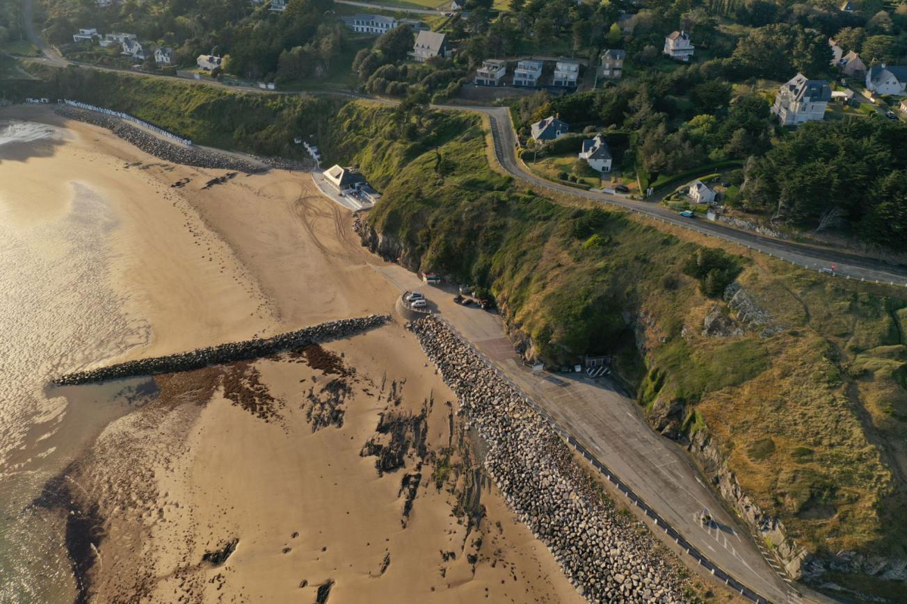
Drone view of Potinière beach (Manche département) on 6 May 2021
© BRGM
The need
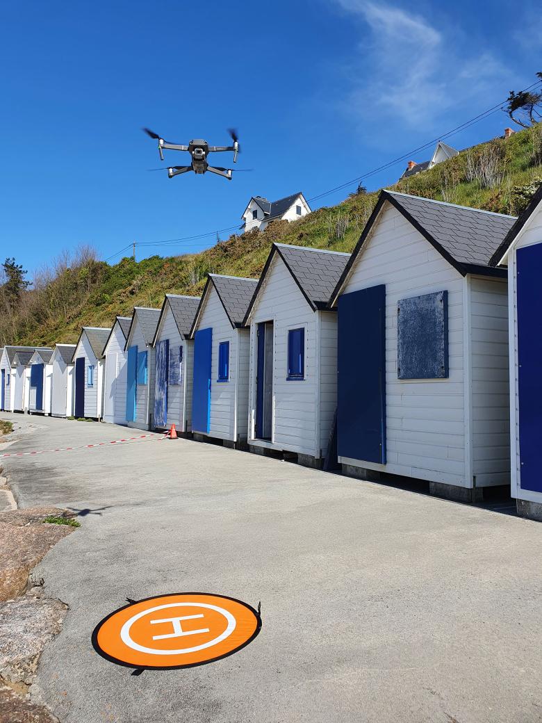
Despite the reinforcement work carried out in 2002 and 2008, further rockfalls and sliding of surface formations occurred in the car parks and beach access area during the winter of 2019/2020. For this reason, the municipality of Barneville-Carteret asked BRGM to put in place a multi-year monitoring programme to secure the ledge of La Potinière more effectively. BRGM decided to use a photogrammetry-based method for the multi-year monitoring of landslide and rockfall/rockslide risks. This technique, which lends itself particularly well to the use of drones, provides a detailed picture of the movements caused by the erosion of the cliff faces and inclines under surveillance.

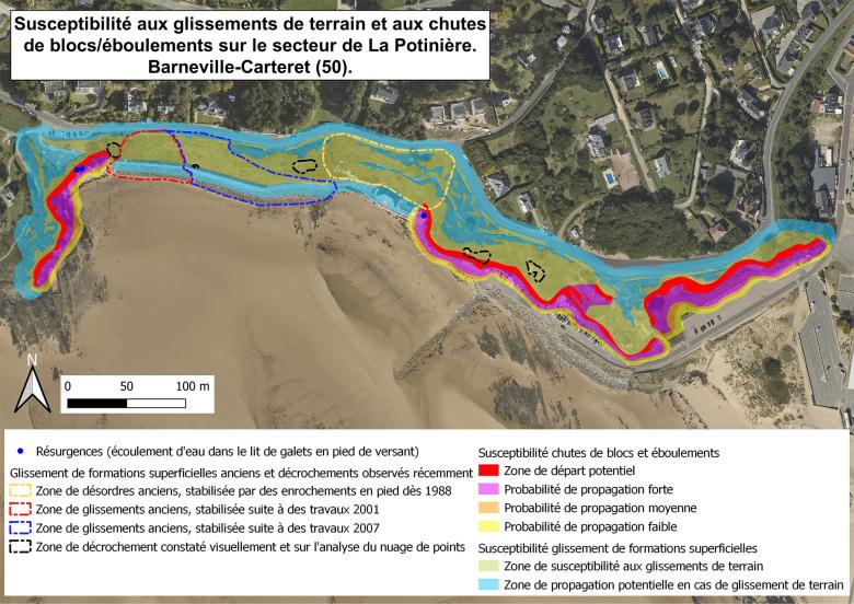
Map showing susceptibility to landslides and rockfalls/rockslides in the sector of La Potinière (Manche département)
© BRGM
Results
The survey involved two acquisition phases in order to assess short-term changes and gain a clearer understanding of on-site dynamics. Following the first data acquisition campaign in spring 2021, a number of known or suspected landslide zones were identified. Recommendations were issued for making the site safe in the short term and were implemented from summer 2021. They involved the creation of buffer zones at the foot of the cliffs and increased surveillance throughout the tourist season.
The second acquisition campaign took place in late April 2022. By analysing and comparing the data with that of the first campaign, we were able to pinpoint potential areas of movement subject to landslide risk. These results allowed us to exclude the suspected landslide "initiation" area behind the beach huts. Moreover, no significant movement was seen in the other landslide areas observed. This can be explained by the ongoing stabilisation of these areas and also by the fact that no extreme marine weather events occurred during the monitoring period.
Finally, based on the information obtained from the two acquisition campaigns, a precise map was drawn up to show susceptibility to "rockslides", "rockfalls" and "landslides".

Mavic 2 Pro drone used to create a photogrammetric model of the Potinière cliff (Manche département)
© BRGM
Using the results
At the end of the survey, recommendations were made for securing the site over the long term. These included redeveloping the car parks at the foot of the cliffs and carrying out localised work on the cliff faces.
The survey also recommended visual monitoring – based on expert opinion – every year in the spring, after the winter season, in areas prone to landslides. This monitoring process could be supplemented by a LiDAR survey at a frequency reflecting requirements and observations.
Partners
- Barneville Carteret municipality (Manche département)


