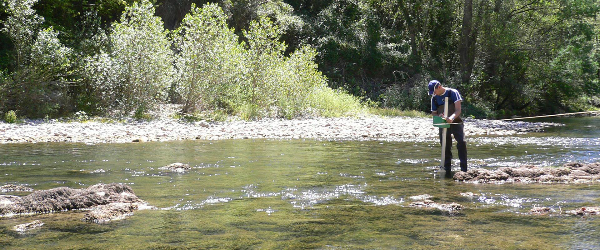
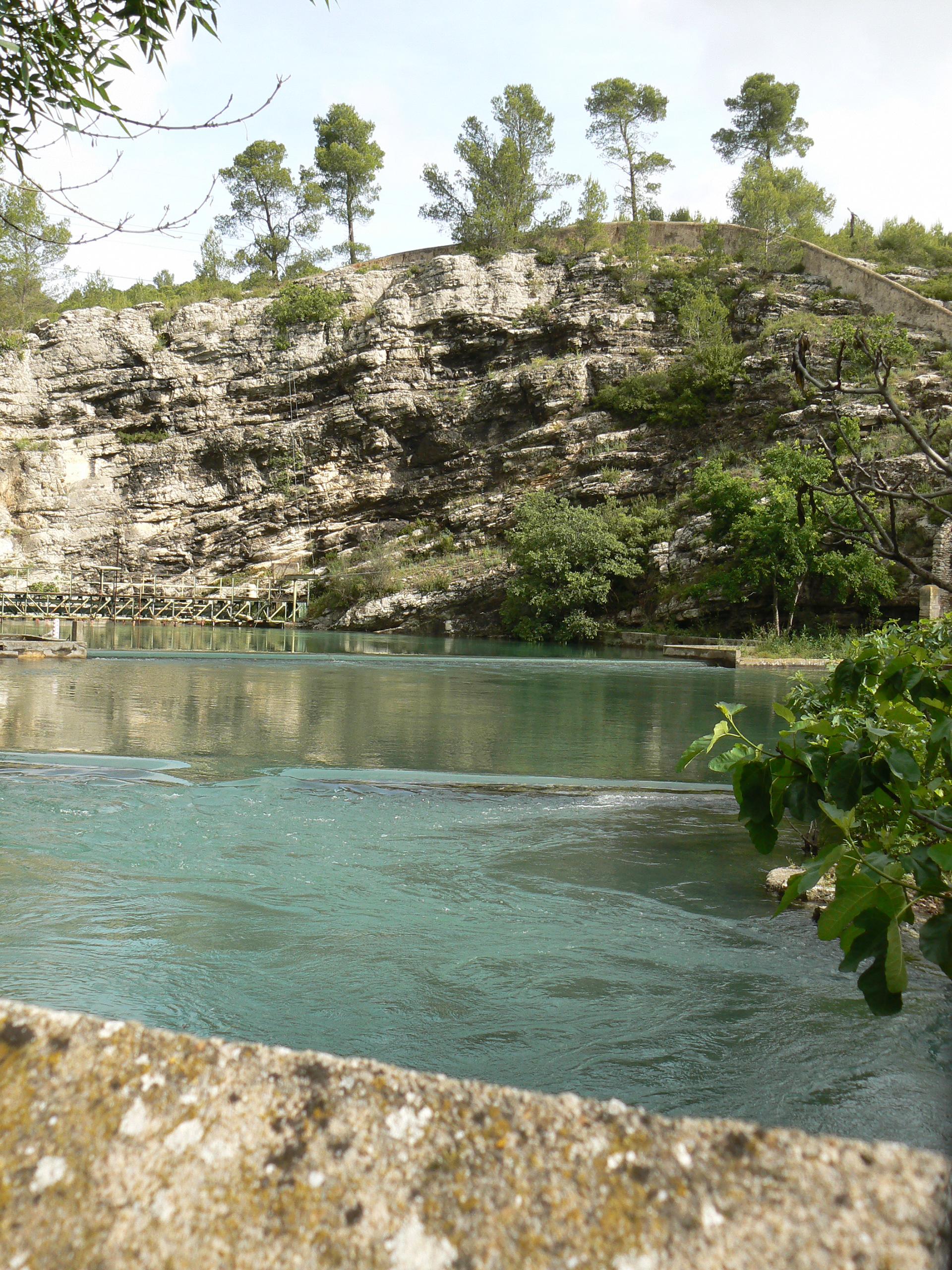
This project, coordinated by the BRGM for the Montpellier Urban Area and involving the Hydrosciences UMR, G-EAU, TETIS, Biotope and the CERFACS in Toulouse, made an in-depth study of the entire Lez karstic system, which forms the subterranean reservoir feeding the spring that supplies drinking water to most of Montpellier’s population.
The project is working to further understanding, through fieldwork and modelling, of the structure and hydrological functioning of this important groundwater resource, addressing a wide range of issues exemplifying multi-use water management.
The 3-year project began in 2009. Its specific objectives were to deepen understanding of the geology and hydrogeology of the subterranean environment, to assess usable water resources, their quality and their vulnerability, and to characterise the impacts of climate change and assess flood risks more accurately. The project team was also responsible for making an inventory of the aquifer’s subterranean biodiversity. The final task was to study the effects of the current active management system of the karstic aquifer on flood risks, using coupled hydrology and hydrogeology models. The first results are now coming through.
Geological modelling
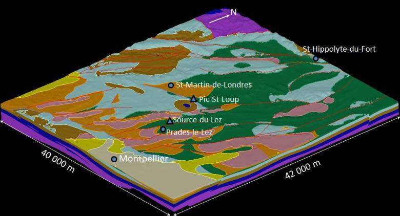
A 3D geological model of the zone was produced using GeoModeller: eight geological sections and the data from 635 boreholes were used to create a spectacular and precise visual representation of the complex geological structure of the Lez karstic aquifer.
Hydrochemistry
The geochemical origins of the water also had to be characterised. Samples were taken from boreholes and springs in the Lez system, and also from neighbouring karst systems and other systems in the region.
This produced three “clusters”, a “Cretaceous” cluster, a second “Brestalou” cluster corresponding to a temporary watercourse, and a “deep”, mineralised cluster from the Middle Jurassic. This analysis showed that the chemistry of the Lez waters changes with the relative contribution of waters from these three geochemical clusters.
Key figures
-
340000.00residents depend on drinking water from the Lez spring
Hydrogeological modelling
Water levels in the Lez spring were modelled using the Tempo code developed at the BRGM. The model was used to simulate the impacts of climate change on the spring up to 2050 and to test pumping scenarios to optimise the management of this particularly important water reservoir.
Subterranean biodiversity
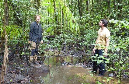
The karst feeding the Lez spring harbours a fascinating array of biodiversity. During the prospecting phase, live specimens were collected of gastropod species that had only been previously found as shells, and almost half of the species described had never been observed alive. The different species appear to prefer waters that leach rapidly from the surface, bringing down organic matter.
Flood modelling
Finally, thanks to studies and modelling of the main floods at Lavalette and characterisation of the aquifer’s functioning through measurements made at the Lez spring, a tool was developed to determine the colour coding for the 24-hour flood warning system, taking the initial saturation level of the karst into account. With all these data, it is now possible to define scenarios for the management of the resource.

