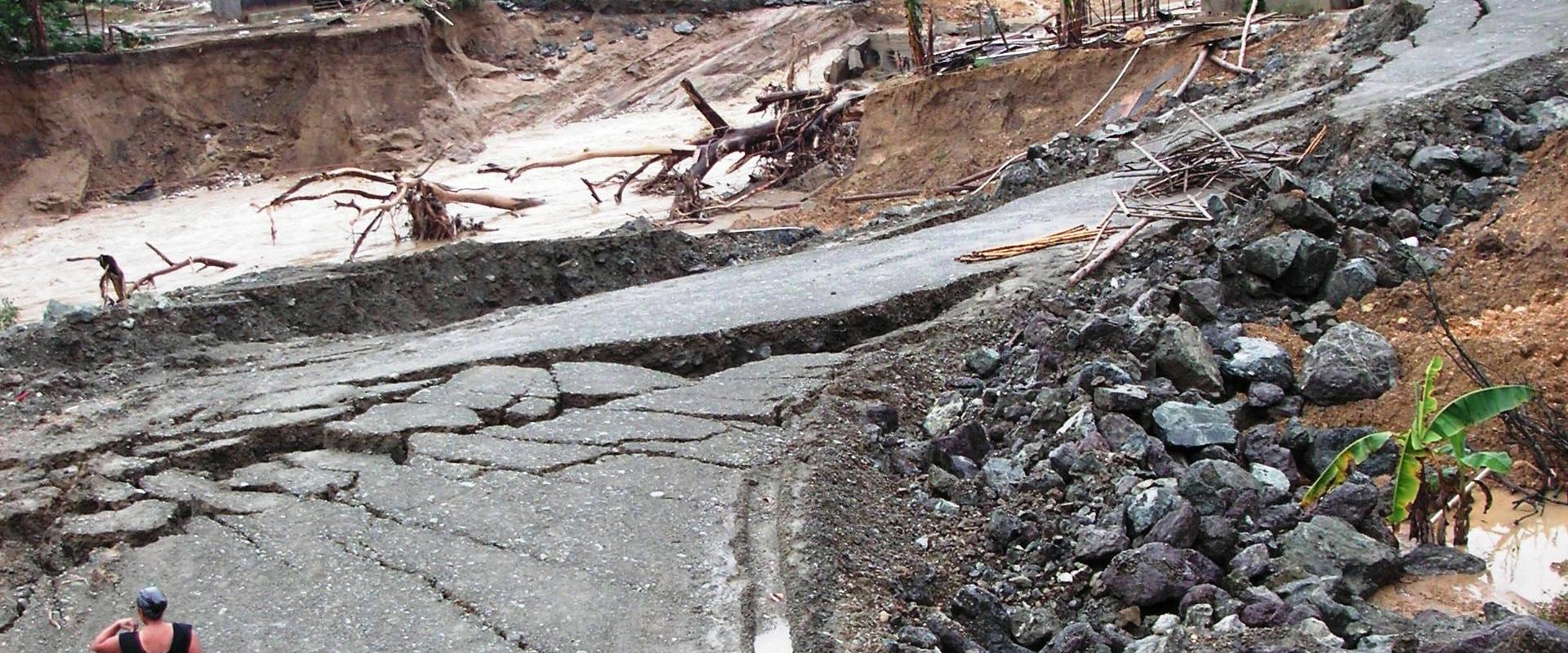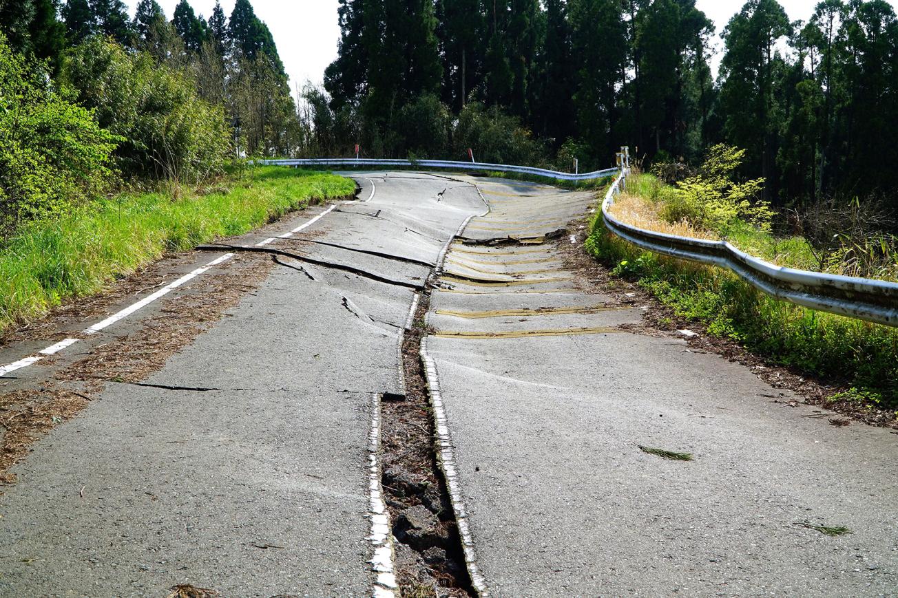
Road collapse following an earthquake in Kunamoto (Japan).
© Adobe Stock - momo2oki
The need
In response to the increasing number of external demands for natural-risk prediction scenarios, BRGM has designed Vigirisks. This data-aggregation tool enables BRGM to fully exploit every area of its expertise and meet the growing needs in terms of modelling/simulating natural risks and assessing community and infrastructure vulnerability, so as to better respond to the potential socio-economic effects of such events.
Designed by and for BRGM's engineers and researchers specialising in natural risks and hazards, Vigirisks is also open to a wider community of BRGM's partners, thus making proven predictive scenarios available to public-sector decision-makers and professionals working in the field of natural risks.
Above and beyond providing information on natural risks, this "all-in-one" scientific service platform also includes an innovative, upgradeable and reproducible area that could be used for producing and sharing knowledge in other fields.
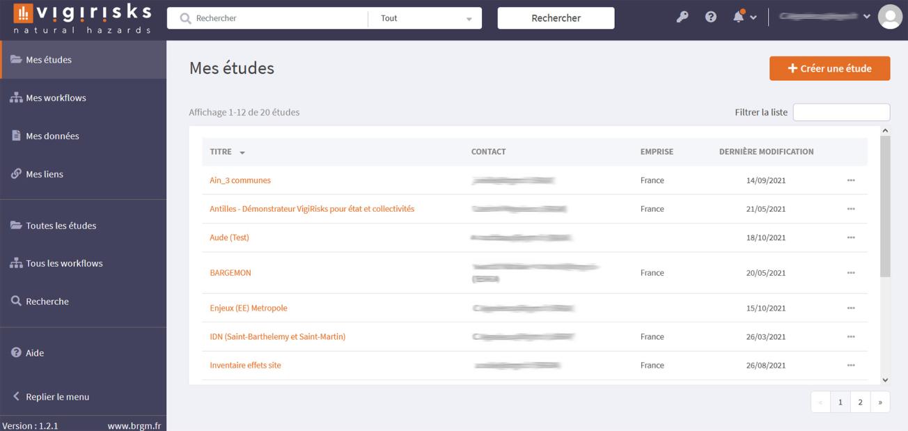
Authenticated workspace and main features of Vigirisks.
© BRGM - Caterina Negulescu
The results
Vigirisks' design draws on the experience of BRGM's specialists in the fields of natural risks and digital technologies. The platform delivers an integrated solution organised by "studies".
The studies are managed (archiving, processing, publications) in a personal and/or partnership area with authenticated access and exploit the set of ready-to-use services they need: data, executable workflow processes, or tools for visualising natural risk scenarios, with the option of adding bibliographical resources.
By storing the history of the processing operations (execution records and logs, data sets at each stage of their transformation), Vigirisks ensures complete traceability. Thus, processing operations can be re-run, either for the same study (with setting changes) or for another study.
The platform also enables professionals from various risk- or data-management fields (data scientists, analysts, managers, developers, etc.) to share and discuss information and ideas.
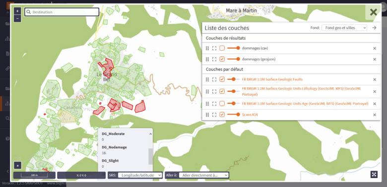
The Vigirisks visualisation screen: display of different "layers of results" after a damage calculation, along with the "default layers".
© BRGM - Caterina Negulescu
Using the results
Users can design, configure and execute a risk scenario, via their authenticated personal or shared area.
They can select the study area they are interested in, as well as the working scale, in order to produce a hazard or risk map when the processing operations have been completed.
They can access the data available at BRGM (e.g. seismic intensity maps, etc.) as well as external reference data (e.g. IGN or Météo-France data) to which they can add their own project data (e.g. time-scale, rainfall, etc.).
They also have access to a catalogue of workflows: data processing, single or multi-risk/hazard scenarios, hazard or risk calculations).
The map interface (enhanced with output models) enables them to visualise the results of risk scenarios.
Traceability and re-usability are guaranteed; for each stage, the data sets are identified and the workflows execution logs and results files are saved, so users can either re-run the same scenario or change the parameters.
Future developments
For decision-makers and operational staff
The objective is to provide a user experience that meets the needs of different public (government and local authorities) or private (insurers, land developers, etc.) partners. Vigirisks now aims to add new upgrades to the web portal that will make it possible to adapt the ergonomics and features according to the level of expertise or preferences of different users.
The French Ministry of Ecological Transition and Solidarity – in partnership with the DEAL Martinique – have already commissioned BRGM to develop a demonstrator aimed at decision-makers in the public sector. Fort de France has been chosen as the pilot area, with the aim being to identify the needs and expectations of users more precisely, in terms of features, data, display scales, end-products and services, etc.
For engineers and researchers
In partnership with various research institutes, Vigirisks will use the regional Data Centre situated on the BRGM campus and will thus benefit from the large data-hosting potential and powerful computing capacities required for complex data processing.

