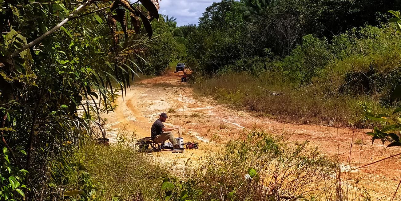
Acquisition of electrical geophysical data on a cross section of track (Grand Santi, 2021)
© BRGM - Adrien Selles
The need
Ensuring the drinking-water supply to the town of Grand Santi and the surrounding villages in this rapidly-growing municipality is a vitally important yet complex issue. Surface water is abundant, but nonetheless requires intensive treatment to render it potable, whereas using groundwater as an alternative requires in-depth knowledge of the local geological formations. The rocks in French Guiana are mainly part of very old formations (crystalline rocks known as "bedrock"), in which water resources are unevenly distributed in the fractures. The Grand Santi Town Council asked BRGM to carry out a geological and structural survey to identify the available groundwater resources and determine the best locations for new boreholes.

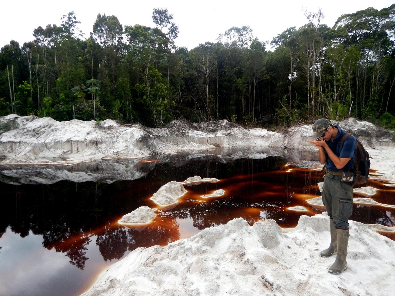
Artisanal quarry in the white sands north-east of the town of Grand-Santi. The sands are leached by rain and the surface water becomes filled with organic matter (Grand Santi, 2021).
© BRGM - Adrien Selles
The results
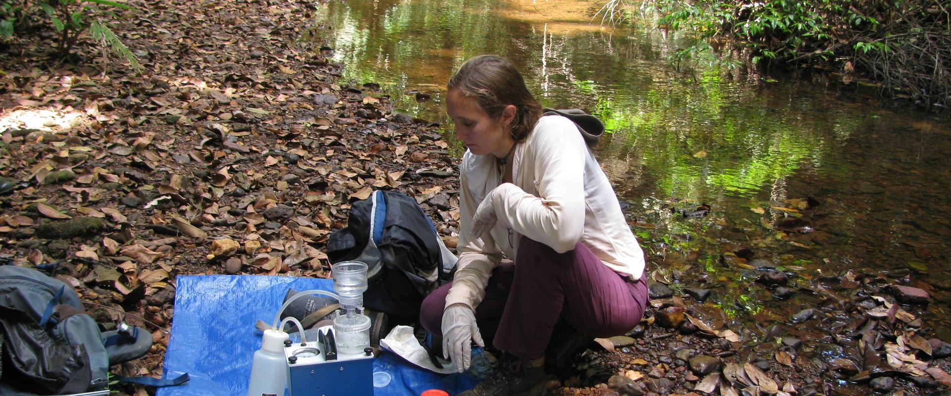
The methodology used to find new water resources involved several steps, each of which provided new knowledge. Firstly, a structural survey based on remote sensing (identification of potential faults using satellite images) was used to prepare the prospecting mission. Then, a field campaign (involving observations of outcrops and manual drilling with augers) was conducted to map the geological units and provide a structural analysis. After this, the teams were able to determine the location of the geophysical profiles using electrical resistivity tomography, in order to visualise the subsurface units in cross-sections and identify potential water-bearing rocks (i.e. which allow groundwater to circulate), and notably any fault zones that might provide preferential areas for groundwater circulation. It was decided to drill preliminary reconnaissance boreholes (which could potentially be transformed into exploitation boreholes) in the vicinity of the faults around the town of Grand Santi, as well as near the more isolated villages along the river.
Using the results
In addition to enabling the installation of boreholes for drinking water, this study improved knowledge about the complex geology and hydrogeology along the banks of the Maroni border river, resulting in the production of new geological maps and geophysical cross-sections. The municipality will find these tools useful for planning future urban developments or identifying areas that are sensitive to erosion (notably due to the risk of flooding).
The partners
- Grand Santi Town Hall


