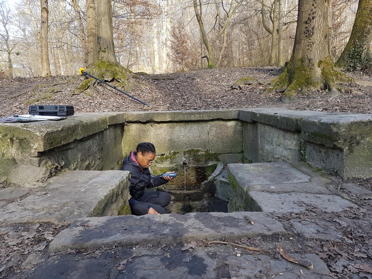
Physico-chemical measurements at the Fontaine Sainte-Marie (Clamart, 2019).
© BRGM - T. Dupaigne
The need
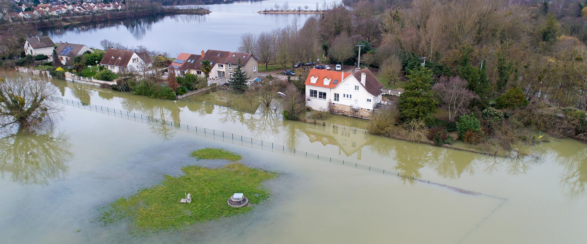
Rising groundwater in Ile-de-France is the result of two phenomena, one natural (presence of water in sedimentary layers), the other human (rapid urbanisation which is sometimes incompatible with the geological substrate). Inadequate control of this hazard stems from a lack of knowledge of the hydrogeological phenomena involved, due to the fact that they mainly concern 'accessory' aquifers, which are little used and therefore little monitored. Faced with the concerns of its citizens, the municipality therefore wished to understand the mechanisms generating these phenomena within its territory in order to take them into account for urban planning.

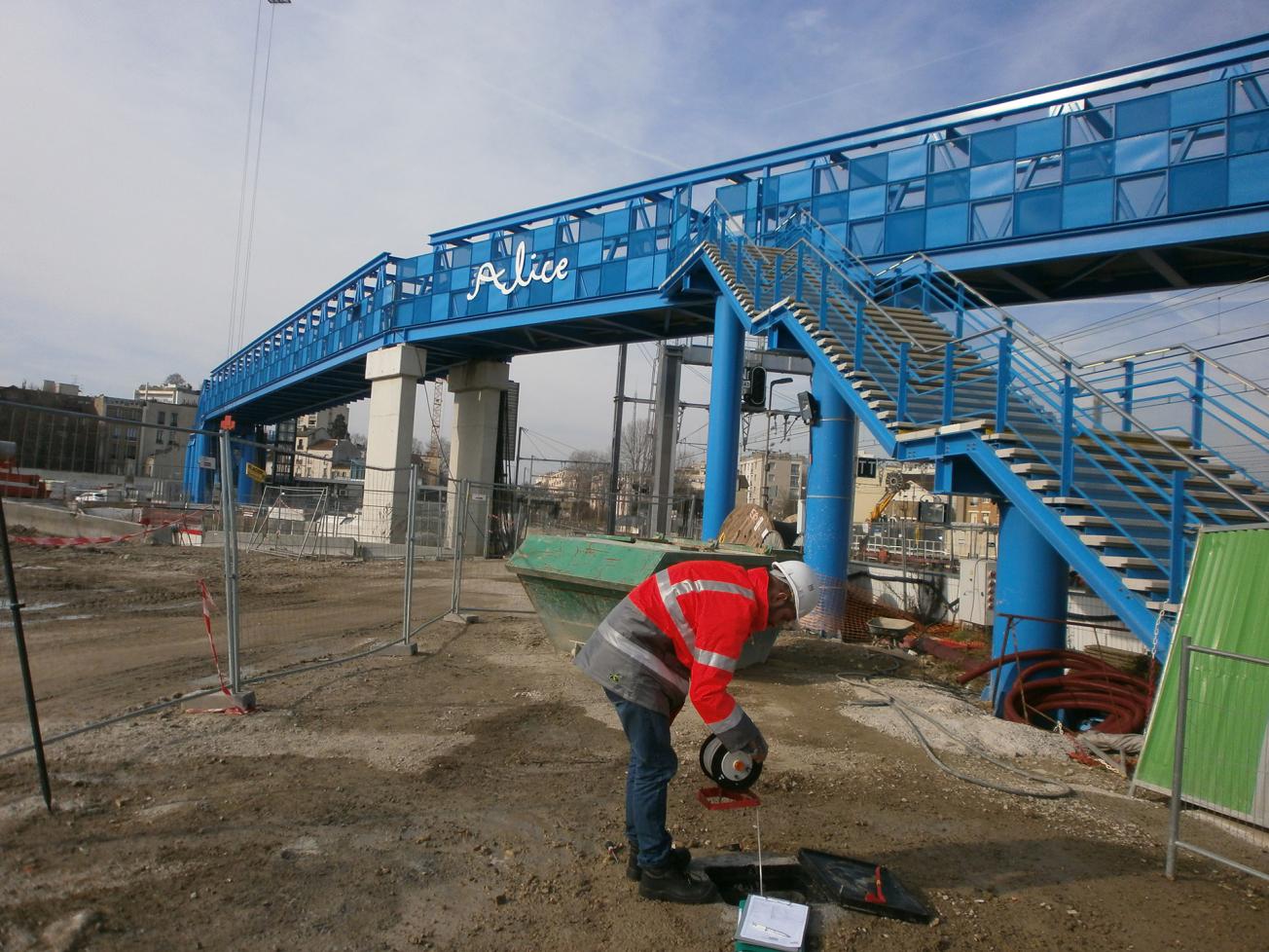
Piezometric measurement in an urban context: Clamart railway station (Clamart, 2019).
© BRGM
The results
The study was carried out in four phases:
- A bibliographical study including an interpretation of geological data, which allowed the identification of two faults (extension of the Meudon fault and its replica) and explained the presence of several springs. Historical documents have also revealed the existence of an ancient stream, now channelled underground;
- Survey of the population: observations of the rising groundwater in the whole municipality;
- Field missions: two water level measurement campaigns at 40 points;
- Mapping and recommendations: definition of vulnerable areas and proposals for measures to be implemented.
Using the results
The results, which aim to meet the expectations of the population, were presented to the Clamart City Council in February 2021. The municipality will now train its staff to use the data in order to inform the inhabitants concerned. Finally, piezometric monitoring is being developed to better understand and anticipate the phenomena. The Vallée-Sud-Grand-Paris local authority (to which Clamart belongs) also wishes to undertake this type of investigation and to integrate the results into the inter-communal urban plan (PLUi).

BRGM's conclusions are crucial for our projects. This study helped us to validate our choices by showing that there was no greater risk of groundwater rising at the stadium than elsewhere. As a preventive measure it will also enable us to draw up intervention plans in the event of flooding occurring and to improve crisis management.


