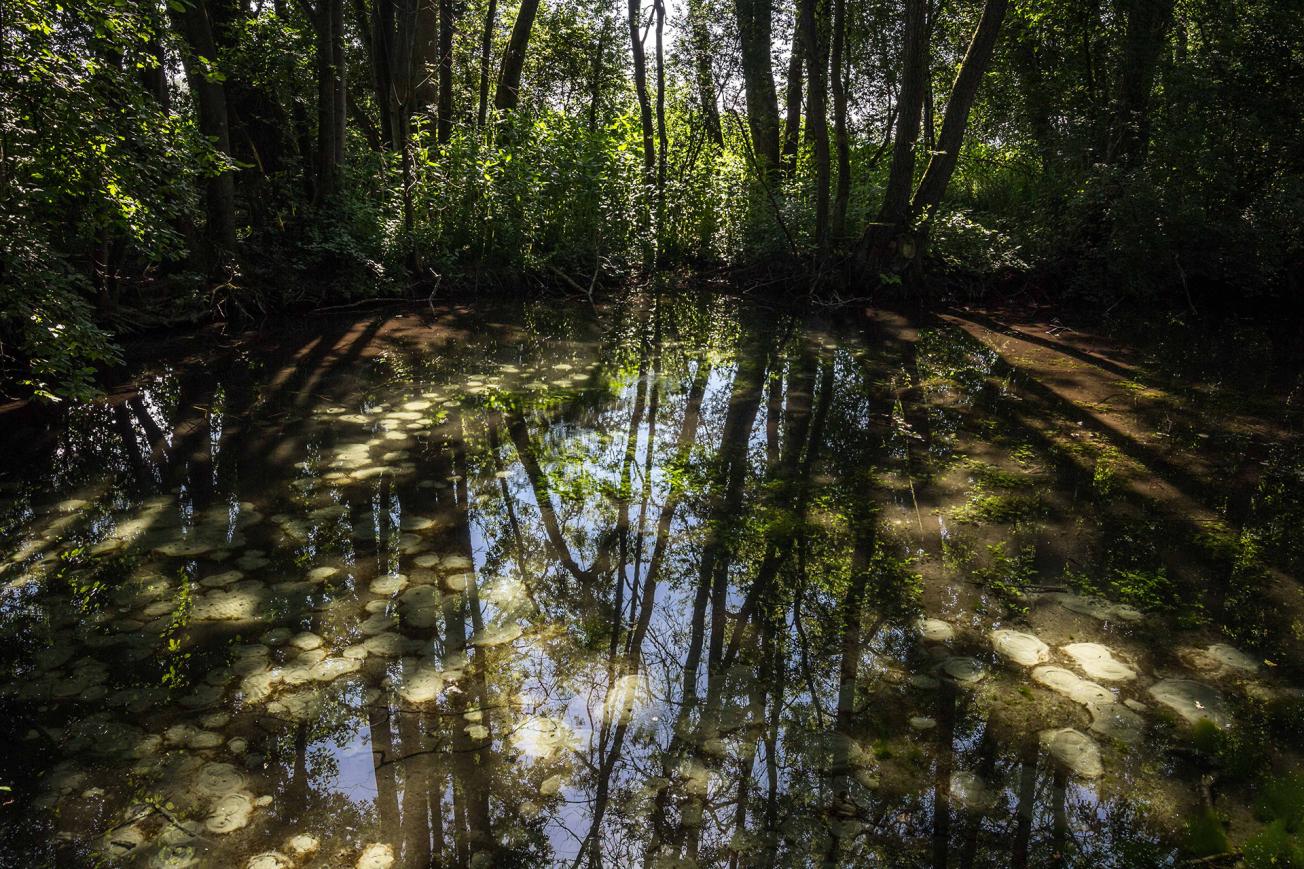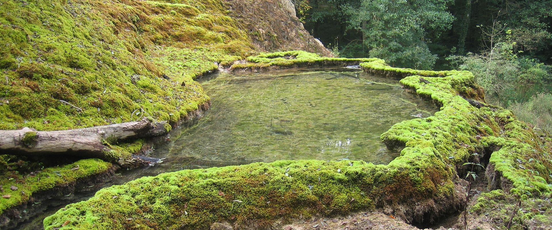
Riedbrunnen springs, a landmark site in the Grand Ried region, affected by falling piezometry levels (Colmar, 2019).
© BRGM
The needs
The phreatic streams are remarkable for their ecosystem and biodiversity and are an important feature of the landscape of the “Grand Ried” area, which is also highly agricultural with a predominance of arable crops, which can create additional demand for groundwater.
In a sector that is not used to quantitative groundwater management due to the presence of the powerful Rhine aquifer, the SAGE wanted to have some tools and information to enable it to address this specific problem. To meet this need, BRGM was asked by the Grand Est region to carry out a diagnosis based on data acquisition and the development of scientific knowledge and methodologies.
A first study, carried out in 2016 and 2017, focused on the potential impact of groundwater abstraction on phreatic streams in the Grand Ried area. It highlighted the correlation between the lowering of the piezometric level and the drying up of the "phreatic" streams observed between 2012 and 2017. The vulnerability of the rivers to a few additional centimetres of lowering of the piezometric level (partly related to irrigation in the area) was also highlighted. This first study concluded that it was necessary to continue investigations at a certain number of points (characterisation on a fine scale of the local relationships between phreatic streams and groundwater, hydrodynamic parameters of the aquifer, estimation of agricultural abstractions). The Local Water Board responsible for the SAGE therefore wished to extend this first analysis with a new project, called “GES’Eau’R”, which aimed to interpret the observations made in recent years in the context of a more widespread evolution of groundwater in the sector and which had the following objectives:
- Extend and refine knowledge of the relationship between the aquifer and rivers in the Great Ried area;
- Determine the extent to which the various groundwater abstractions (all uses combined) affect the watercourses;
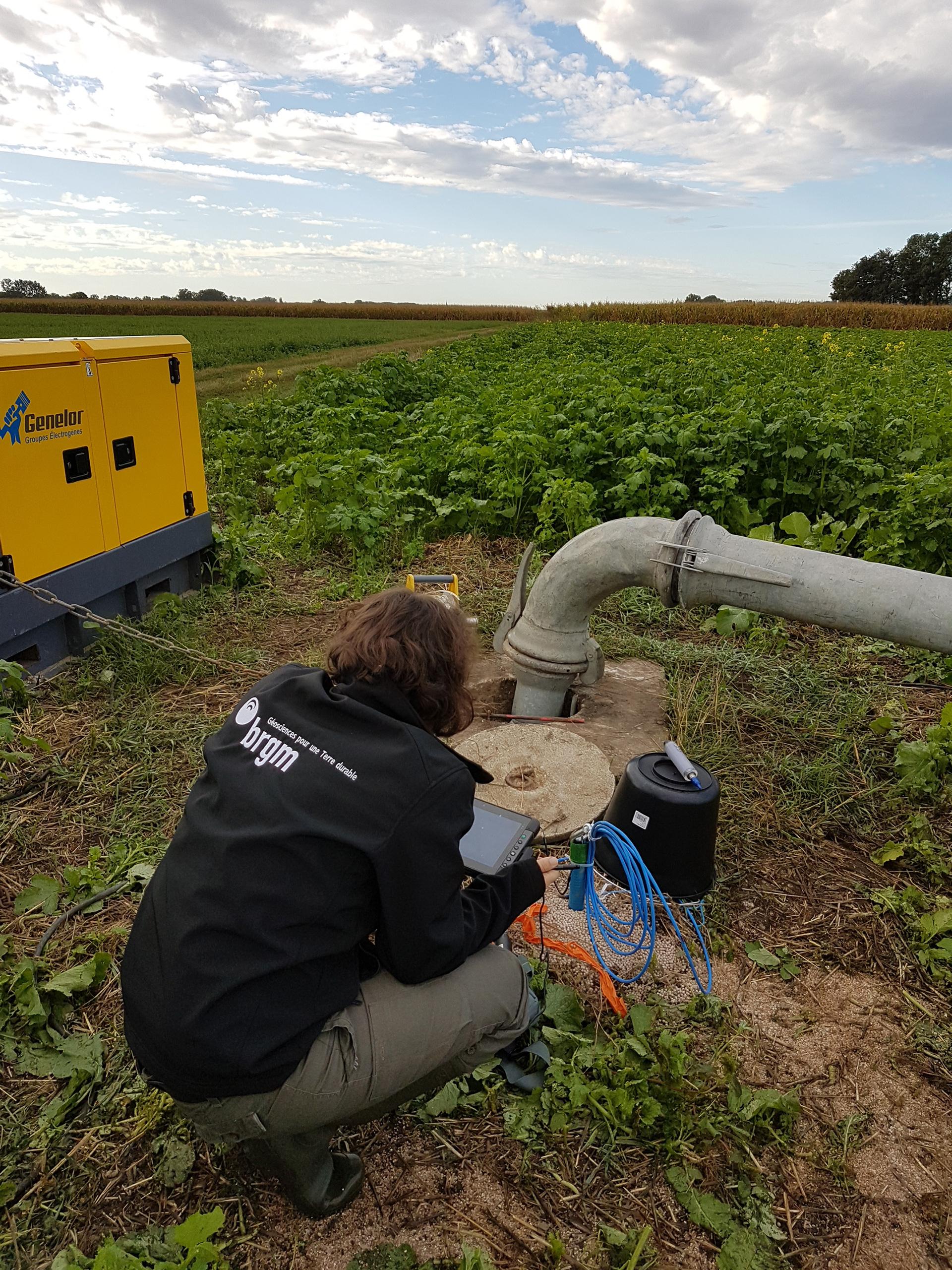
- Carry out two pilot pumping trials on representative sectors of the study area;
- Set up a tightly-knit piezometric network, complementary to the existing network, with the specific aim of monitoring the impact of groundwater abstraction in a future collective management framework.
The results
The project determined that the Alsace aquifer in the Grand Ried sector has, in recent years, dropped to the lowest levels observed since the historic drought of 1976, with three sectors more heavily impacted (south of the Illwald nature reserve, the entire western part of the Ill, linked to the piedmont zone, and a strip running south-north between the Illwald reserve and a few kilometres east of the Rhone-Rhine canal). The drop in the aquifer is less in areas where rivers feed into it. This is particularly the case for rivers which receive water from the Rhine, via the Colmar canal, to mitigate low levels. The GES’EAU’R project has also improved the characterisation of the groundwater-river exchanges for the entire Grand Ried area; thus a progressive contribution of the aquifer can be observed in the phreatic water courses, the role of the Ill in the orientation of the flows and the level of the groundwater was confirmed, and the link between the level of the phreatic water courses and the depth of the aquifer was proven. This last point led to the plotting of a vulnerability map of the watercourses, based on the water table measurements carried out in June 2019.
The GES’EAU’R project also made it possible to determine the anthropic impacts on the water resources of the Grand Ried sector. The main findings on the impact of abstractions are as follows:
- there were no visible modification of flows or piezometry levels that can be attributed to the main abstractions for drinking water supply or industry;
- the drop in levels during the summer period attributable to agricultural abstractions was quantified where possible: this accounts for between 30 and 70% of the drop observed on the piezometers;
- the effects of pumping were analysed first by combining local values and then overall. Locally, the effect of individual groundwater abstraction in the vicinity of a watercourse results in a transfer of water from the watercourse into the groundwater and, after a certain time, into the pumping well. The accumulation of different pumping operations has an effect on both the area of impact around the watercourses and the duration of the impact. And, more globally, the resulting drop in the aquifer may lead to increased losses from rivers to the aquifer and the drying up of resurgences;
- all the hydrodynamic elements (test pumping results and overall piezometric behaviour) indicate that the general decline in piezometry levels is a major factor in the drying up of watercourses.
The work carried out in the Grand Ried region thus provides a spatialized view of the very strong interconnection between groundwater and watercourses and shows a cumulative effect of abstractions leading to a significant drop in available water resources in the summer, which is amplified in certain sectors. This observation, which is also part of a context of global climate change (increased frequency of drought phenomena), accentuates the need to implement overall quantitative management.
Ideas for complementary work and gaps in scientific knowledge were also identified. This includes improving knowledge of water consumption by crops and forest areas and having additional data to improve water budgets.

The study, which showed that it is irrigation that puts the greatest strain on the resource, identified the most vulnerable areas. It provided scientific evidence for establishing a partnership agreement with all users.
Using the results
BRGM is continuing its scientific work as a consultant with the various water users under the guidance of the CLE of the Ill Nappe Rhin SAGE. Two strategic guidelines are i) the search for ways to optimise the support of rivers suffering low water levels, particularly via the Rhine, and ii) the optimisation of water abstraction, particularly in relation to irrigation.
Concomitantly, BRGM has made several spatial management tools available to local water authorities, providing the technical elements necessary for better quantitative management of water resources, namely:
- 5 reference piezometers to monitor the situation of watercourses in 5 homogeneous sectors;
- piezometric indicators linked to impacts on watercourses, allowing monitoring of the state of the aquifer and potentially the implementation of specific measures to manage abstractions;
- estimation of the flow rate of a pumping operation on a watercourse under different assumptions and configurations;
- river sensitivity map to assess which rivers are likely to be most strongly impacted by a drop in piezometry levels.

BRGM helped us to better understand the different mechanisms at work. It is important to characterise the problem and lay the foundations for operational tools to improve groundwater recharge and to see, in particular, how agriculture could be adapted to reduce the volumes abstracted.


