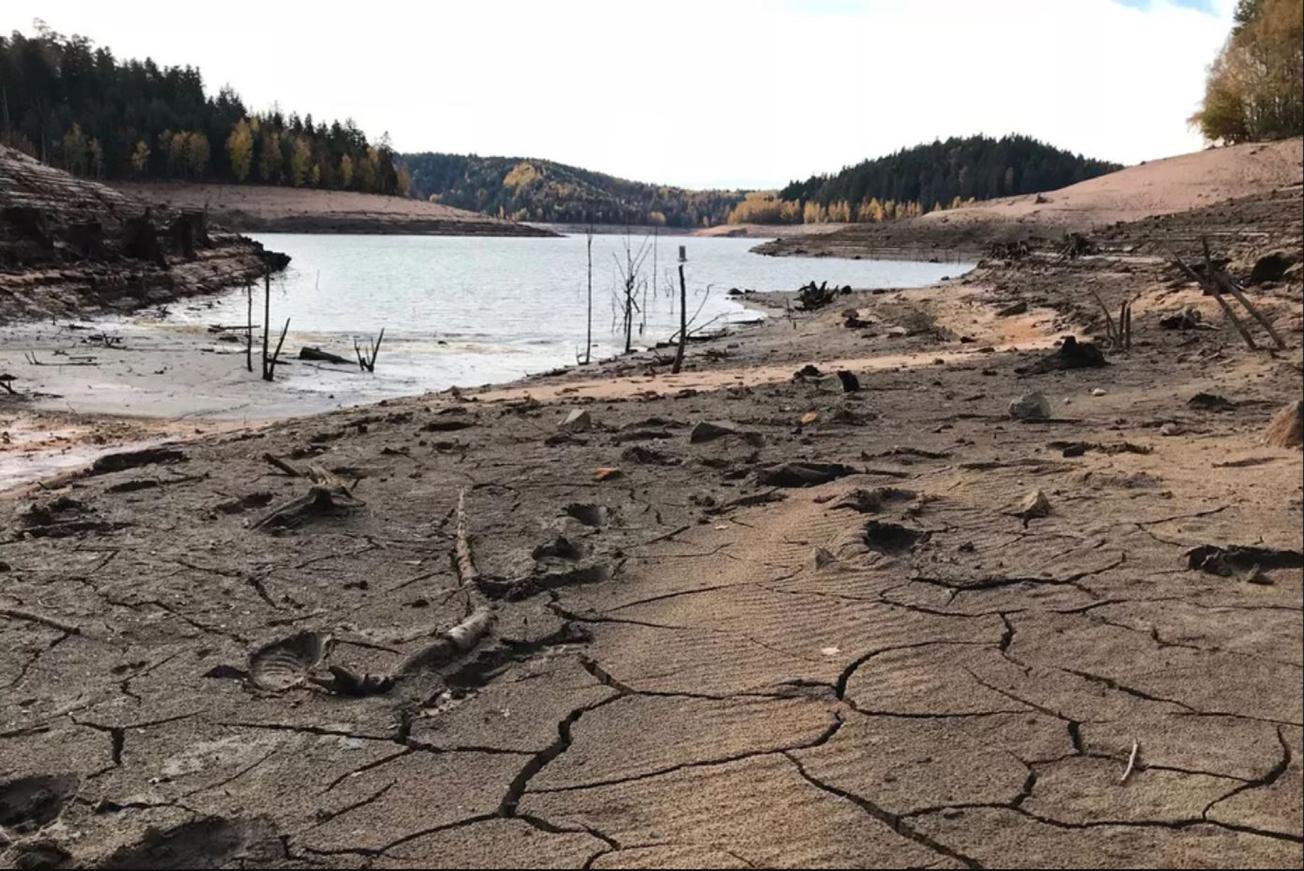
Pierre Percée Lake, Meurthe et Moselle, November 2018.
© France 3 Grand Est
The need
In order to pre-empt and mitigate the impacts of groundwater drought, and thus prevent problems with continuity of the water supply and protect aquatic ecosystems, water management operators need to be able to estimate the severity of drought in terms of its effect on groundwater quantity. The status of groundwater quantity should thus be assessed against predefined warning, critical warning and emergency thresholds, which can be used to trigger water conservation actions, including use restrictions when necessary, in a proportionate and targeted manner.
The results
Since the vulnerability of aquifers to drought depends on how much and how fast groundwater resources are affected by dry spells, indicators were developed for seasonal variation in groundwater level, discharge rate and dominant variability patterns.
The most relevant monitoring boreholes were then selected to investigate groundwater drought episodes and determine which of them were vulnerable to seasonal drought and which were vulnerable to multi-annual events (i.e. a succession of dry years). The second stage of the study involved developing a rainfall vulnerability index to make it easier to compare effective rainfall data and changes in groundwater levels. This index showed that very low groundwater levels did not necessarily follow a period of extreme weather conditions.
The third step focused on proposing an indicator and methodology for determining appropriate thresholds, based on the piezometric records.

Being able to reliably ascertain the severity of drought is critical, especially to confirm whether water use restriction actions should be implemented. While tools and methodologies have been used effectively for years in the case of rivers, this is not true for groundwater. In this context, the extensive work carried out by BRGM for this study is extremely valuable for estimating the severity of groundwater drought in the Grand Est region.
Using the results
The method developed here can be used in other regions. Since it is essentially based on the analysis of piezometric records, these need to be reliable and go back a long time. R free software by R Foundation for Statistical Computing was used to develop all the tools in this study.

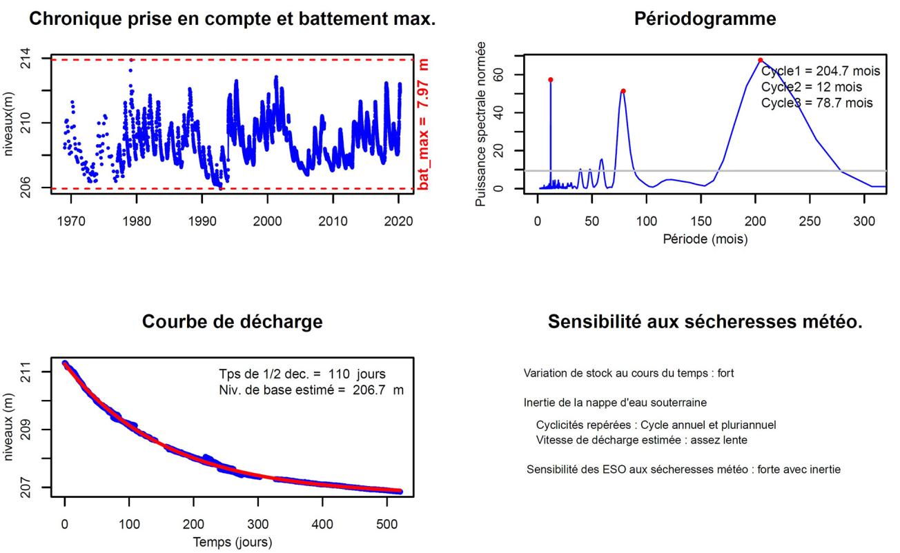
Example of a “groundwater drought” information sheet produced after automatic analysis of piezometric records from the BSS000PRTA monitoring borehole (01871X0031/S1) in Champigny limestone, Janvilliers, 2020.
© BRGM


