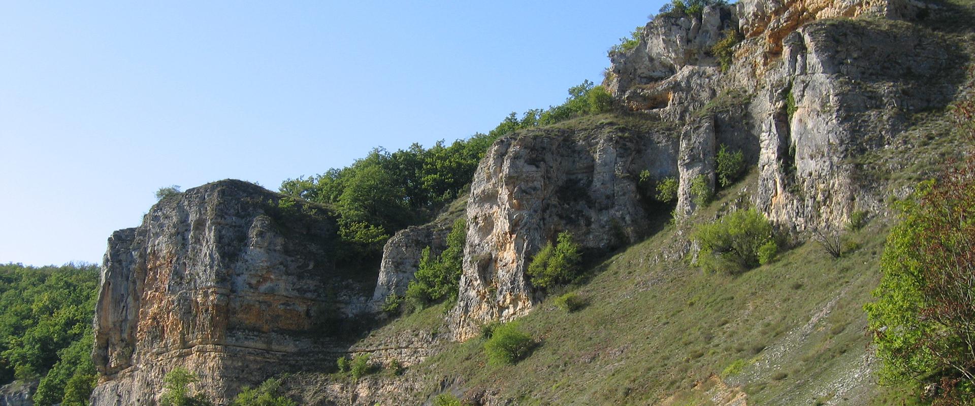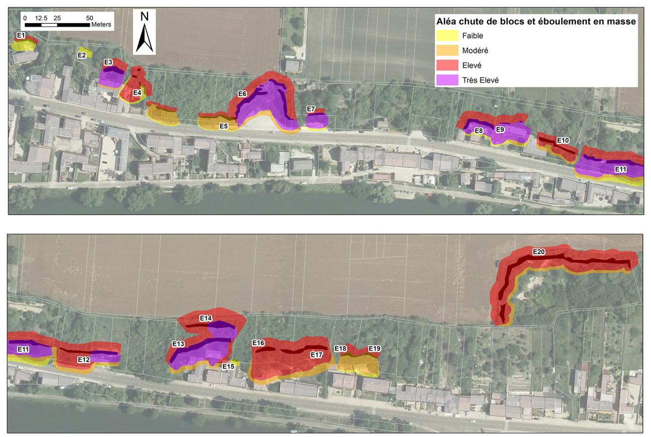
Rockfall hazard map of the rue Emile Tabarant sector in Laroche-Saint-Cydroine (E. France).
© BRGM
The need
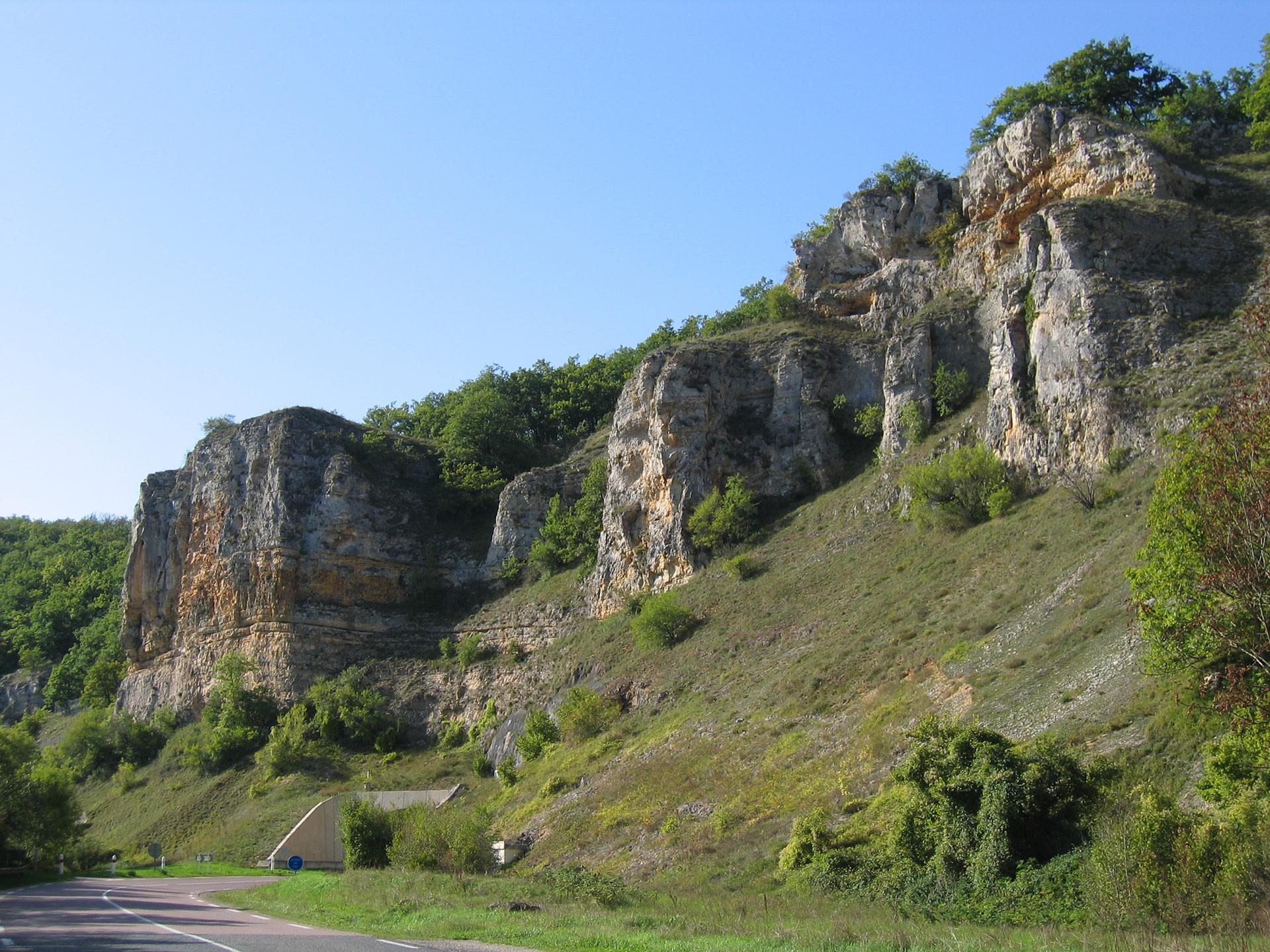
On request from the Direction Départementale des Territoires for the Yonne département (DDT89), the BRGM conducted a study to improve knowledge on the rockfall hazard in the rue Emile Tabarant sector in the municipality of Laroche-Saint-Cydroine. The aims were to map the hazard to the scale of 1/5 000 and to put forward safety engineering recommendations.
The results
The hazard map for the rue Emile Tabarant sector in Laroche-Saint-Cydroine is based on updated knowledge of rockfall phenomena in the sector, produced by compiling available archive material with the results of investigations on the ground and surveys among municipal services in particular. An expert study approach was applied, based on in situ observations and the existing bibliography. The MEZAP method (for zoning assessments of rockfall hazards), developed by a working group piloted by IRSTEA for the Ministry for Ecology and adapted to the local context, was used as a basis for mapping the rockfall hazard. This study also included rockslide phenomena, which required the implementation of a specific method to assess this hazard whose propagation characteristics differ from those of isolated rockfall hazards.
This mapping study identified 20 homogeneous rockfall triggering zones for which the activity index, intensity index and triggering probability were defined on the basis of numerical data analyses and field investigations. These data were then cross-analysed to assess the rockfall hazard.
Based on the hazard levels mapped, proposals were made for (non-restrictive) remedial action (without scaling specifications as these would require a standardised geotechnical mission) in each homogeneous zone where risk exposure is at issue. Finally, approximate costs of the safety work required were estimated through expert appraisals to provide managers with an order of magnitude.
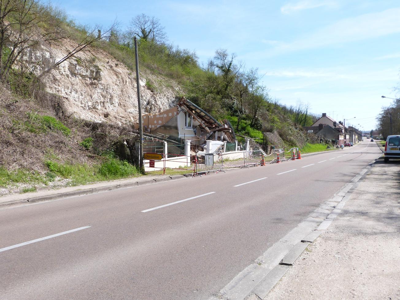
Rock collapse and destruction of a home at Laroche-Saint-Cydroine (Yonne, E. France).
© BRGM – Ysoline Hannion
Using the results
The hazard maps and safety engineering proposals were communicated to the property owners concerned at a public meeting, during which the study results were presented as well as applicable grant funding under current regulations. Individual interviews with property owners requesting them were set up jointly by the municipal authority, the DDT and the BRGM to detail the specific hazards, risks, safety engineering proposals and potential grant funding for each parcel.
The partners
- Direction Départementale des Territoires des Vosges
Thanks to the BRGM's work and the excellent communication skills of its experts, our constituents were able to understand the seriousness of the situation and become fully involved. We now have a long-term view of the situation that allows us to apply appropriate safety measures to protect our residents. We are looking to build on this experience to conduct a geotechnical study that will bring a better understanding of these rockfalls.

