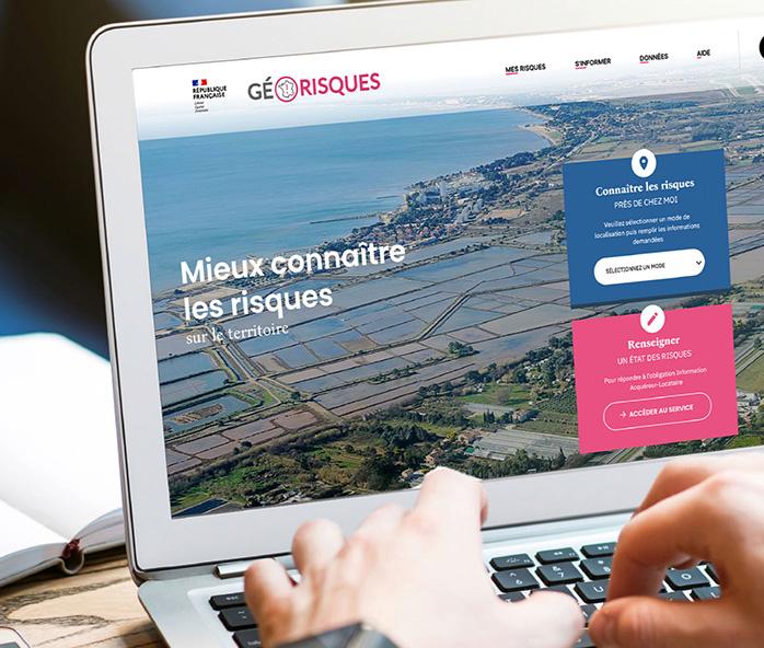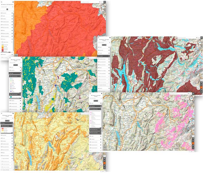
The GéoRisques platform contains information related to both natural and technological hazards and is accessible in several forms.
© BRGM
BRGM's DNA includes data and the creation of digital platforms for both professionals and the general public to help improve geoscience knowledge and, in particular, to provide information on hazards for decision-making purposes.
Created 8 years ago, GéoRisques is now a long-running BRGM information system. It takes the form of a web platform at https://www.georisques.gouv.fr, making information available to everyone about the natural and technological risks in their area.
GéoRisques has been a real success so far: it was used by 6 million people in 2021. The peak number of user logins occurs during climate events (such as the Cevennes storm episodes, which occur when warm and humid wind from the Mediterranean moves northwards). Paradoxically, however, the platform comes into its own in the BtoB sector, for example to produce hazard reports for a given postal address, a plot of land or a municipality. There are on average 25,000 logins per day, mainly for professional use in the real estate sector, by notaries and property dealers.
Access to the main institutional hazard databases
Based on the open data policy promoted by the State, GéoRisques provides access to the main institutional databases on hazards and is therefore very heavily used, especially since the ELAN Act of 23 November 2018 on trends in housing, development and digital technology reformed real estate law and introduced a mandatory document, referred to under the acronym ERRIAL (controlled risk status information for buyers and tenants), in all transactions. In total, more than a million real estate transactions take place in France each year and the services provided by GéoRisques are always used. In particular, the platform can be used to produce a labelled digital ERRIAL.

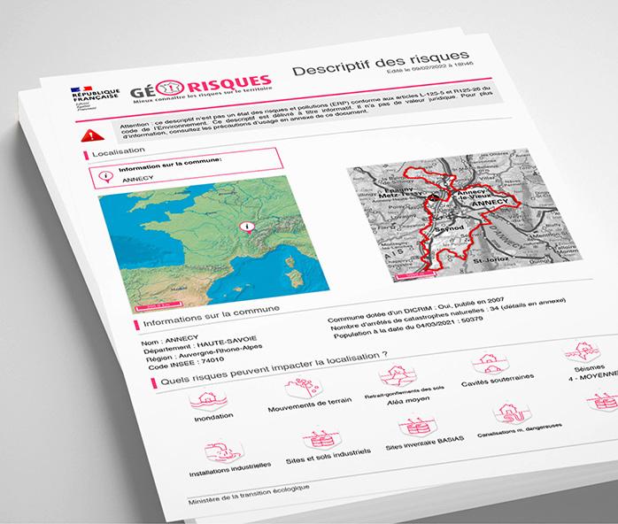
The risk data for an area can also be downloaded in the form of a description containing all the relevant information.
© BRGM
How to develop a risk management culture in France
GéoRisques is both a website for the general public and an everyday work tool for a range of professions. It is about to change to become the reference platform for all user groups for fostering a culture of resilience. The Report on Risk Management Culture1, drafted at the request of Barbara Pompili, Minister for Ecological Transition, and coordinated by the science journalist Fred Courant, points to an insufficient risk management culture in France.
Among the recommendations, GéoRisques was identified as a factor that could contribute not only to providing information, but above all to explaining how to deal with natural and technological risks.
This report puts GéoRisques in the limelight and is an opportunity for BRGM to showcase the geoscientific information it produces on a daily basis in numerous fields related to risk management (marine submersion, cavities, clay, contaminated sites and soils, etc.), in addition to its digital and data management know-how.
Accordingly, the website will be transformed. The aim is to make it more accessible in order to develop this culture of resilience. It will be supplemented in particular to offer educational content on major natural or technological risks.
It will offer educational and entertaining content produced by a body in charge of fostering a culture of resilience. In particular, virtual reality technologies will be used to provide a more tangible and realistic view of the consequences of the relevant phenomena.
The ergonomics of the website will be reviewed to ensure a more up-to-date and fluid user experience (new page formats, better integration of the flagship "My House / My Risks" service, etc.), based on a simplified visualisation using informative and interactive maps.
GéoRisques will in fact become a true ecosystem, with a new interface for the public on the one hand and, on the other, an information system based on the existing set-up, which will continue to be a tool for professional use, facilitating access to confirmed up-to-date risk data of all types and from all sources.


