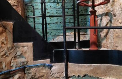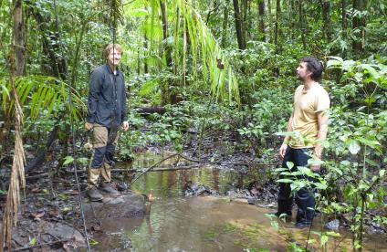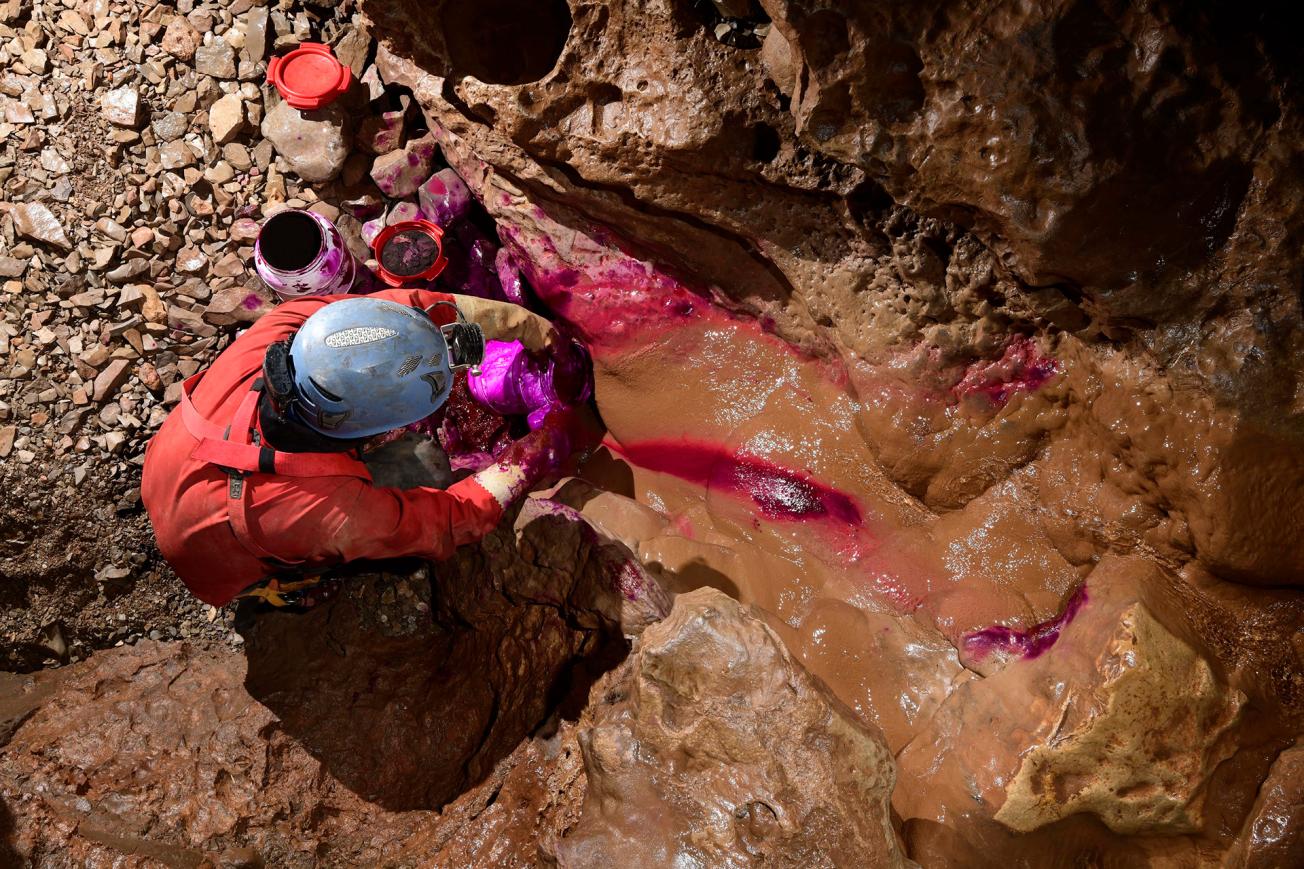
Tracing in the Barelle aven (a subsidence pit) (Lozère, 2018).
© Philippe Crochet
The need
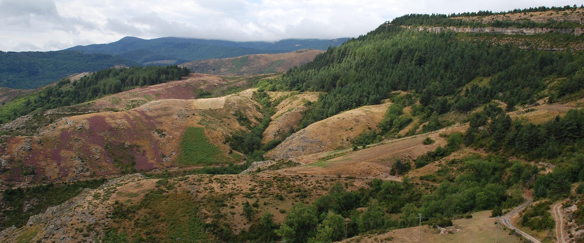
In order to meet the needs of the PnC for managing the water resources of the Causse, the aim of the study carried out by BRGM was to acquire new knowledge on the functioning, structure, extent and location of the water reserves of the karstic systems of the Causse Méjean, based on monitoring the flows of the main springs, tracing back to their sources, but also on the geology, geomorphology and geochemistry of the study area.
The results
The mapping of the roof or wall of the aquifer and impermeable formations, completed by the creation of geological profiles along the Tarn, Tarnon and Jonte rivers, sheds new light for understanding underground circulation through to the outlets.
The hydrodynamic behaviour of the main karstic systems has been characterised: the karstic system of the Ardennes is the major water resource of the Causse Méjean (with a dynamic volume representative of the reserves in the flooded zone estimated at 6 Mm3, associated with the highest average flow-rates observed on the Causse: 1 m3/s). Most of the surface of the Causse Méjean is drained by the Ardennes system (87 km2), followed by the Castelbouc system (78 km2). The analysis of the extension of the catchment areas of each system, resulting in particular from the interpretation of the 22 tracings carried out, made it possible to produce a map of the main karstic drainage lines at the scale of the Causse.
A map of the way infiltration occurs, deduced from an analysis of the surface formations, was produced to facilitate analysis of the vulnerability of the main sources to pollution. The cross-referencing of the map of the intrinsic vulnerability of the aquifer (PaPRIKa) and a spatialized analysis of anthropic pressures made it possible to characterize, for each system studied, the risk of pollution of the resource, by targeting the sectors that could be the source of qualitative disorders according to the type of pressure involved (agricultural, domestic, linked to transport, etc.).
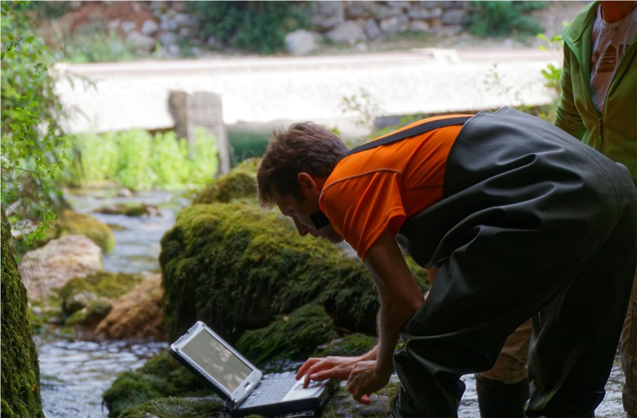
Data collection in Castelbouc (Lozère, 2018).
© Cévennes National Park - Y. Manche
Using the results
This multi-disciplinary study identified the aquifer potential of the Causse Méjean, and provided the tools and knowledge necessary for water managers (the Park management, water syndicates, municipalities in particular) to implement sustainable management of underground water resources. The project also had an educational impact, since, thanks to a partnership with the Comité Départemental de Spéléologie de la Lozère and the Mende high school, it served as a support for a project to study underground water. The results were also communicated to the general public and used for training secondary school teachers.

Groundwater, which is little exploited, has been relatively poorly known in this area until now, even though it contributes to the supply of watercourses. The Causse Méjean essentially feeds the Tarn, a watercourse much used for leisure activities (Tarn gorges), so its protection is essential. At the same time, groundwater could be an alternative or a complement to surface water, which currently meets most drinking water needs.

