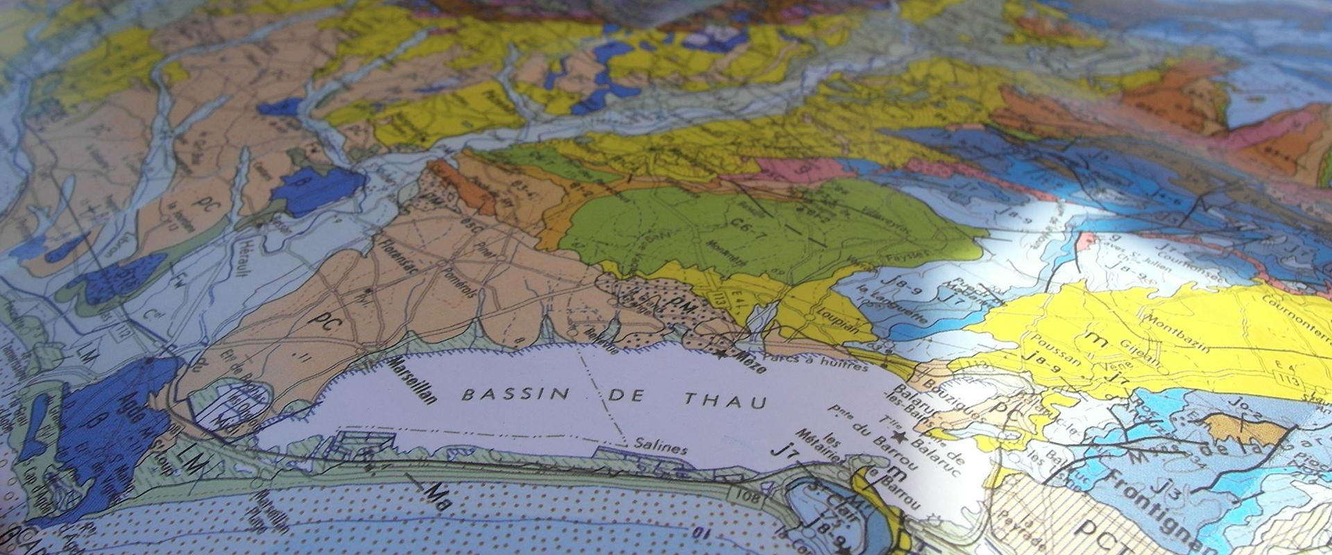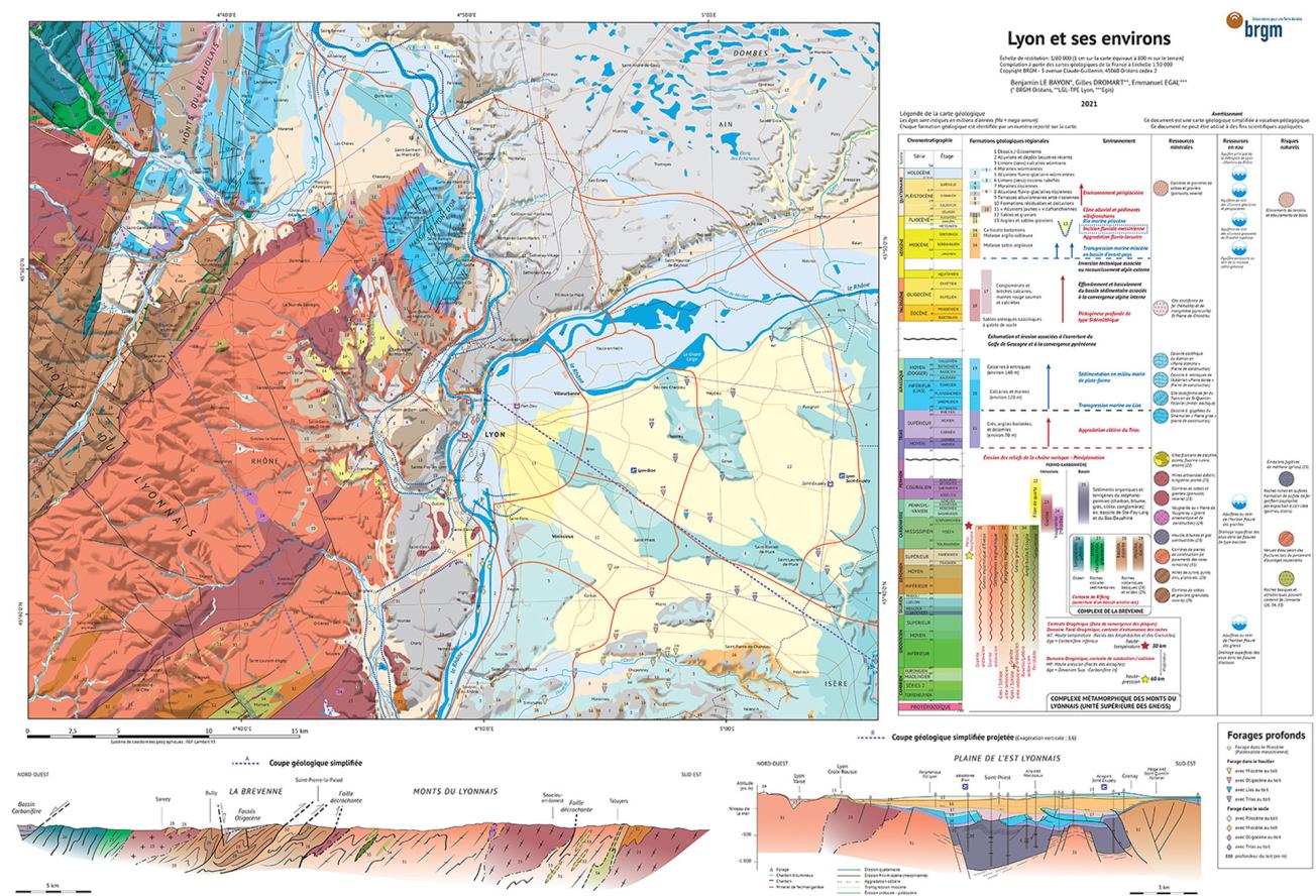
Educational, geological map of Lyon and its surrounding areas.
© BRGM
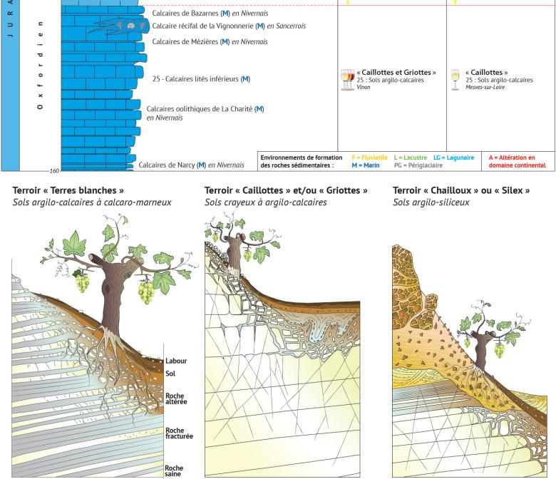
Detail of the educational map of Sancerre-Pouilly, focusing in this case on the terroirs and their relation to geology (2021).
© BRGM-AGS
The need
In many cases, users of geological maps are not geoscience experts. They may be regional managers, engineering consultancies, winegrowers, teachers, hikers, etc.; people who are primarily looking for information on the type of rocks and the associated resources, the presence of groundwater, and any identified natural hazards. However, they cannot always find the answers easily by looking at conventional geological maps.
The results
Disseminating knowledge of the subsurface is one of the public service missions of BRGM. Geological maps are traditional, scientific documents, but BRGM is seeking to make them accessible to the greatest number, while responding to the needs of a range of non-specialist users. We should also note that geological maps have recently found their way back onto the school curriculum in France. Today, BRGM has joined forces with its partners to produce a new collection of educational maps. The first three are for: Paris, Lyon and Sancerre-Pouilly. The first two maps show the influence of geology on city locations. On the Sancerre-Pouilly map, the link between the terroirs and the vineyards is immediately clear.
With these educational representations of the subsurface, the relief is more legible than on conventional geological maps. By adopting a slight simplification of the sectors mapped, the new maps provide an immediate insight into the formation time scales, including any interruptions and episodes of erosion and deformation, the depositional environments of sedimentary rocks, etc. Users can also visualise mineral resources and their uses, as well as aquifers and any potential natural risks.
Using the results
These new educational maps are already being used in schools to raise awareness of urban geology issues. They are also useful for winegrowers and winegrowing associations in promoting wine tourism.
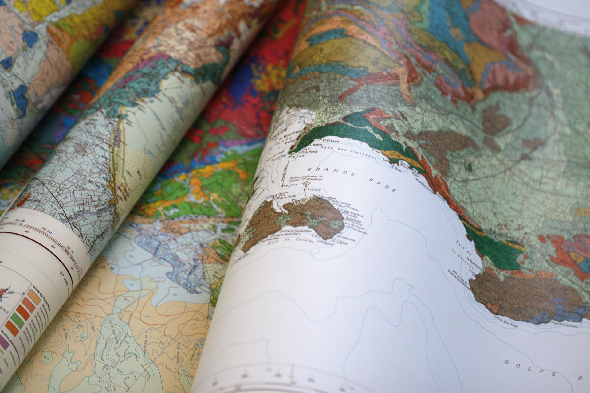
The maps produced by BRGM provide a clear understanding of the importance of subsurface geology in the planning and development of the selected regions. Significant efforts have been made in terms of outreach in order to meet the requirements of the secondary school curriculum. These maps are produced on a scale intended to pack the maximum amount of information into the smallest possible space. Particular emphasis has also been placed on practical aspects, since the maps are laminated and foldable, making them durable and easy to carry.

