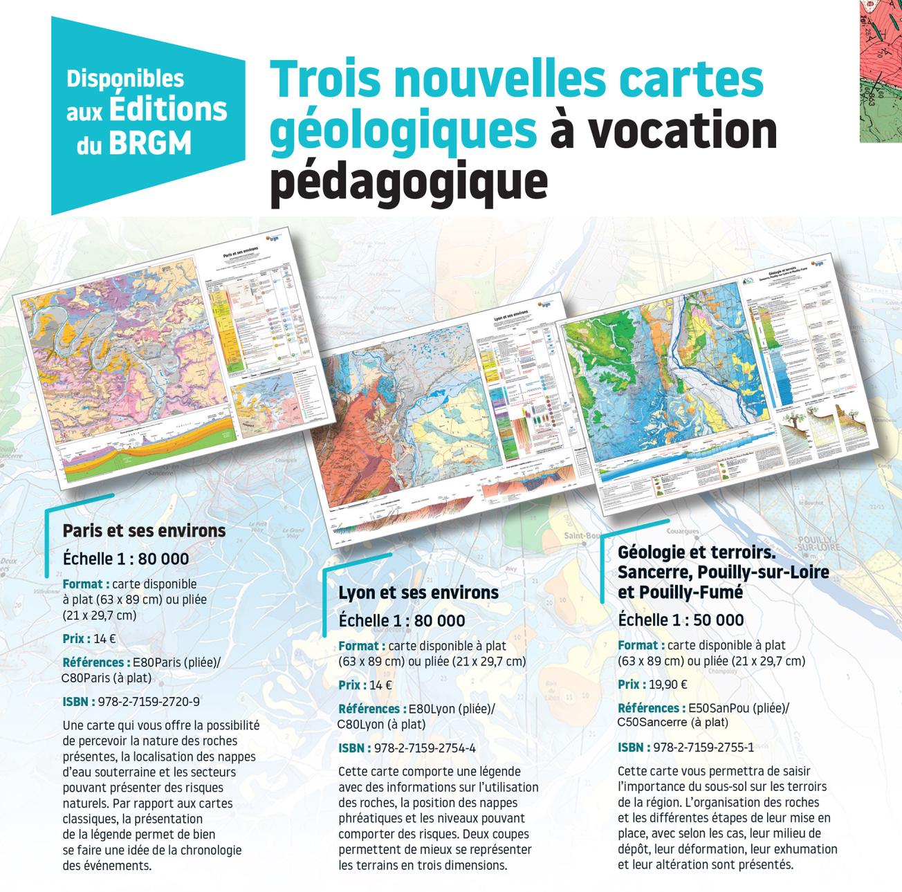
BRGM Publications offers 3 new geological maps for educational purposes: "Paris and its surroundings", "Lyon and its surroundings", and "Geology and terroirs: Sancerre, Pouilly-sur-Loire and Pouilly-Fumé".
© BRGM
Sancerre, Lyon and Paris now have an educational version of their geological maps. Based on geological reference maps at a scale of 1:50,000, these maps include new data, such as areas with AOC wine labels on the Sancerre map, and details about the presence of mineral resources, water tables or geological risks. Printed on tear-proof paper in 63x89 format for easy transport in the field.
The new tear-proof educational, geological maps
Transcription
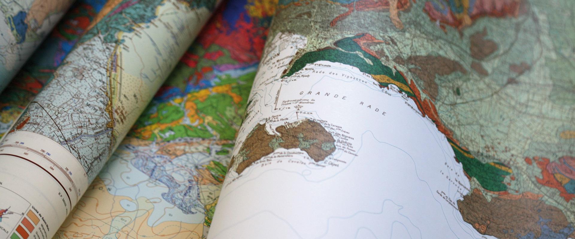
NEW TEAR-PROOF MAPS What are tear-proof maps used for? A tear-proof map can be used anywhere, and you can manipulate it without it tearing because you've caught it on something or whatever. You can scrunch it up, fold it, unfold it, fold it up and it'll be fine. It really is tear-proof, and if I try to tear it, even really hard, the paper resists. And what's more, it's waterproof. What is on these maps? Here, on the map of Sancerre... It's a geological map with oenotouristic data, that means the type of soil, of course, and also, depending on the soil, which wine terroirs. There is also information about vines in the AOCs of Sancerre, Pouilly-sur-Loire and Pouilly-Fumé. What are the characteristics of these maps? These maps are printed on paper called Polyart. It is a specific type of paper because it is tear-proof, as you saw earlier. It is not a very common grammage for printing geological maps, but given its qualities, it suits our requirements. It is very white paper, and thus renders the colors well. This map is produced from geological maps of France in 1:50,000 scale. What maps exist in the tear-proof format? Three maps have been printed: the map of Sancerre, the map of Paris, and the map of Lyon. Order them from www.brgm.fr
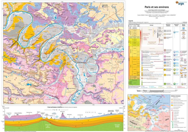
Paris and its surrounding areas
This map offers you the possibility to perceive the nature of the rocks present, the location of the groundwater and the areas that may present natural risks. Compared to conventional maps, the presentation of the legend gives a good idea of the chronology of events.
Educational geological map of Paris and its surrounding areas - 89 x 63 cm - €14 - References : E80Paris (folded) / C80Paris (flat)

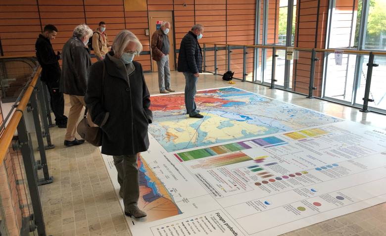
During the 27th Earth Sciences Meeting that took place in Lyon from 1 to 5 November 2021, BRGM presented the new map of Lyon, in a 4x6-metre format.
© BRGM
Lyon and its surrounding areas
BRGM's publishing branch – Les Editions du BRGM – has published an educational, geological map to help people appreciate the significant impact of subsurface considerations on spatial planning in the Lyon area. Based on the same reference documents as those used by scientists, the map indicates the different types of rocks that are present under our feet, as well as groundwater and areas with geological risks.
Unlike traditional maps, the innovative legend enables you to understand the chronological sequence of the main events that led to the formation and structure of different masses of rock. The legend also includes information about the past and present uses of the mineral resources beneath our feet, the layers that contain groundwater and the areas in which there are potential geological risks. In order to get a better idea of the three-dimensional layout of the land, a series of section diagrams show the land in slices.
Educational geological map of Lyon and its surrounding areas - 89 x 63 cm - €14 - References : E80Lyon (folded) / C80Lyon (flat)
Geology and terroirs: Sancerre, Pouilly-sur-Loire and Pouilly-Fumé
This map will enable you to understand the importance of the subsoil on the terroirs of the region. The organisation of the rocks and the different stages of their development, with, depending on the case, their depositional environment, their deformation, their exhumation and their alteration are presented.
Geology and terroirs: Sancerre, Pouilly-sur-Loire and Pouilly-Fumé - 89 x 63 cm - €19.90 - References : E80SanPou (folded) / C50Sancerre (flat)


