Any country’s development depends on a thorough knowledge of its resources, and its mineral resources in particular, while planning, for the local population or possibilities for extending tourism potential for example, also requires a sound knowledge of subsoils and natural hazards that can sometimes have disastrous consequences.
This is the context in which we took part in a geothematic mapping project in the Dominican Republic, as part of a consortium piloted by the BRGM’s Spanish counterpart, the IGME (geological and mining institute), which also included the Spanish consultancy InYPSA. The project, lasting from 2002 to mid-2011, comes under the SYSMIn programme financed by the European Union.
BRGM geologists permanently mobilized
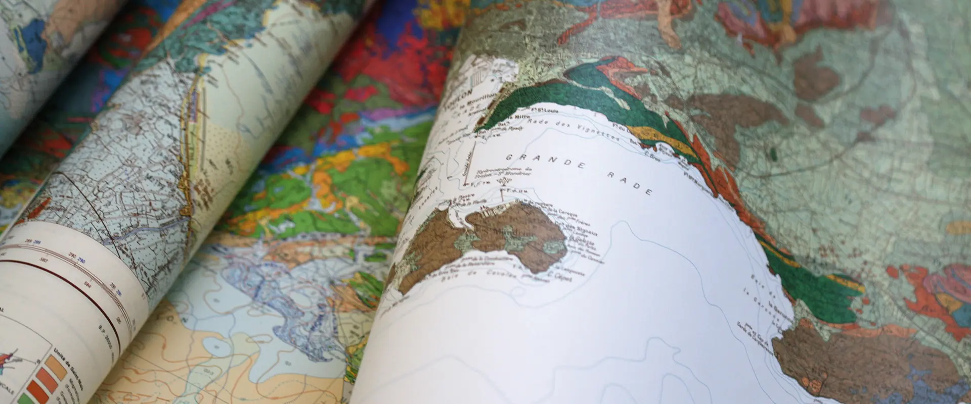
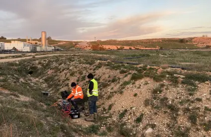
One of the BRGM tasks was to map the geology of the Dominican Republic, which covers two thirds of the island of Hispaniola, to the scale of 1/50 000. For the ground surveys, we used geophysical measurements (magnetism and radiometry) with interpretations of satellite imagery and digital terrain models. The project involved four BRGM geologists from the mineral resources and geology departments, working full-time with support as required from other specialists.
A sharing of geological data
The BRGM team produced 42 map sheets to the scale of 1/50 000, covering one quarter of the country’s geology. The cartographic standards were based on those used in Spain by the IGME; the map legends are in Spanish. All the data were homogenised and incorporated into the geographic information system (GIS) hosted at the Directorate-General for Mining in the capital, Santo-Domingo.
Substantial mineral reserves
The Dominican Republic is an important mining country, with one of the world’s largest epithermal gold deposits at the Pueblo Viejo mine, where estimated reserves of 700 tonnes of gold (23Moz) are now being developed. Dominica also has base metals of the sulphide cluster type (Cerro Maimon copper-gold mine) and deposits of lateritic nickel ore and semi-precious stones (amber and larimar). A systematic inventory of the country’s minerals was made via a wide-mesh stream sediment and alluvial geochemistry campaign. The synoptic results were used to create maps to the scale of 1/100 000.
A seismic micro-zoning
In parallel, an extension of the SYSMIn project was programmed by the national authorities and the EU following the earthquake on 12 January 2010 in the southwest of Hispaniola (along the Enriquillo-Plantain-Garden fault), which destroyed Haiti’s capital Port-au-Prince and killed some 300 000 people. The same project consortium then carried out seismic micro-zoning to a scale of 1/25 000 for Santiago de Los Caballeros, the Dominican Republic’s second largest city with one million inhabitants, which lies in the Cibao Valley, a very active seismic zone close to the northern fault.
A wide diversity of rocks
The island of Hispaniola, which lies at the junction between the European and north American plates, is also of considerable scientific importance for studies on plate tectonics. Its subsoils record the Caribbean’s entire geological history from the late Jurassic to the present. Its geology is characterised by highly diverse volcanic, sedimentary and intrusive rock formations. Thanks to our cartographic surveys, a great many of these have now been described, dated and interpreted, with our findings published in scientific journals.
Transferring know-how
Finally, the project also included an important component for transferring know-how, especially in metallogenics, deposit formation and mining economics, to the Dominican Republic’s Directorate General for Mining, the SYSMIn project beneficiary. All the results of this multiannual project were presented during conferences attended by all the local stakeholders.

