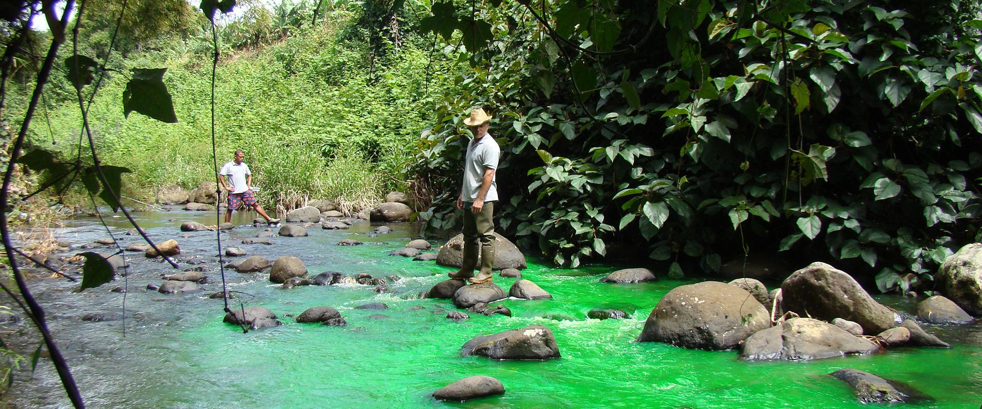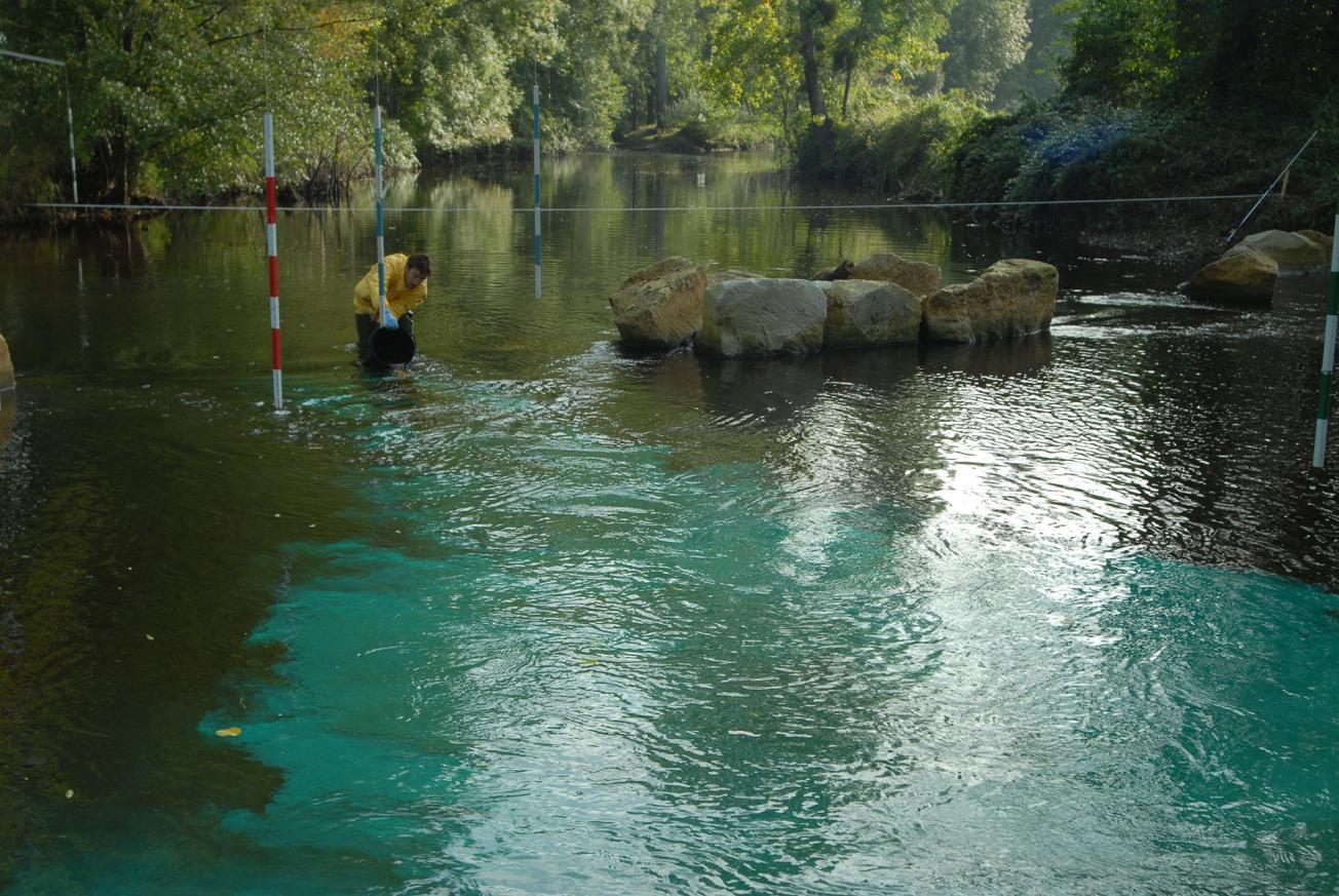
Injecting a fluorescent tracer upstream from a leak to track the groundwater flow. © Bruno Leclerc
© Bruno Leclerc
Hydrogeological tracers are mainly used to identify the trajectory of groundwaters and their rate of flow.
However, they can also provide other valuable information, for example on patterns of dispersal, interactions and exchanges of the tracer in the underground environment. These are very useful parameters to assess, for example, the behaviour of a particular aquifer in the event of contamination, and thus to anticipate preventive measures.
A software application to interpret hydrogeological tracing
The TRAC project, resulting from a call for projects by the Centre Region, involves the BRGM with academic and industrial partners (from the DREAM competitiveness cluster on “water and environments”). The first version of the project’s highly innovative software application to interpret hydrogeological tracing went on line in 2011.
An assisted tracing tool
The first aim of the tool is to help prepare a tracing campaign - and especially tracer dosage - more effectively by simulating propagation based on existing geological and hydrogeological data and available data from earlier tracing campaigns. Once tracing proper has been completed, the tool will assist interpretation of the data collected on dispersal of the product, its duration, porosity of the environment, etc., and allow calibration of the initial data.
Support for players in water resource protection
By highlighting the parameters and processes involved in groundwater flows and how they affect the fate of incoming substances, from accidental pollution for example, TRAC is a valuable tool for water resource protection, since one of its applications is to assist in defining protective zones around abstraction points for drinking water.

