Searching for groundwater: caves
Transcription
LOOKING FOR GROUNDWATER
CAVES
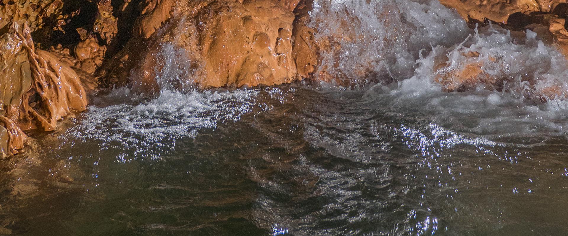
Here, we're near the town of Frontenac, in the heart of Entre-deux-Mers. We are at the bottom of a sinkhole, a karstic phenomenon formed by water. A karst, is... First, karstology. Karstology is the study of the action of water on certain types of rock. Almost all karstifiable rocks are sedimentary rocks, carbonate rocks, the most common being limestone. You will have noticed some concretions inside the cavity. These concretions are formed by limestone precipitation. The limestone is dissolved by water, then infiltrates the rock. When, in the cavity, it comes in contact with air, it re-precipitates to crystallise and form concretions. These can be of various types: calcite, aragonite, gypsum. Here in Gironde, we find mostly calcite. It creates stalagmites and stalactites. Stalactites go down. Stalagmites go up. When they meet, it's a column. Water went up into the cavity, bringing greater water flow and the phenomenon of whirlpools, causing an accumulation of foam, what we call flood foam, which doesn't indicate pollution. It's just foam that accumulates. The water is collected in what we call a catchment, an area that collects water from all around. These waters then go together, via various drains, into the cavity. The water flows and continues to form the cavity, by dissolution. Then, the water... Part of it will go into the water table and another part the largest part, will come out through a resurgence downstream of the cavity. Most of the cavities can be found in Entre-deux-Mers. We're talking about over 500 natural cavities listed in Gironde. When I say listed natural cavities, this goes from the smallest cavity, of just a few metres, to the biggest cavity, this one here, the Grand-Antoine network, which has grown to 8.5 km. Mostly we see bats. Then, inside the caves, there are chance inhabitants often imprisoned there by the flow of water, salamanders, eels, frogs, who aren't used to living there. Otherwise we find small animals in the water, like Niphargus.
Searching for groundwater: springs
Searching for groundwater: rivers
Transcription
LOOKING FOR GROUNDWATER
RIVERS
This is the Mouliasse stream which is a tributary of the Ciron. We're near the village of Landiras. Generally, the flow will be greater as it gets downstream. But what we see here is that upstream, there's still a trickle of water flowing and downstream, all the flow has vanished into the rock. In this area here, the stream infiltrates the underlying ground. It flows from upstream to downstream. It will gradually infiltrate the rock, and reappear downstream, in fact, at the spring areas, the washing place. Here, the estimated loss into the rock is around 60 litres per second. We bring these losses to light by flow measurements taken upstream and downstream, and physicochemical measurements that show that the water isn't the same upstream and downstream. Lightly mineralised upstream, heavily so downstream, due to its passage through the rock.


Caves are underground cavities, formed by the natural action of water that dissolves the rock over time, due to a physico-chemical reaction. They are generally found in carbonate rocks such as limestone, dolomite or gypsum.