Against a backdrop of climate change, groundwater management is an increasingly sensitive economic, societal and environmental issue. Extensive knowledge of the subsoil and its properties is therefore necessary to assess the state of the water and to decide how best to protect it.
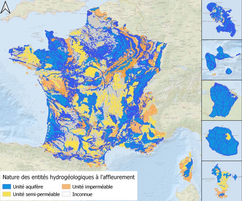
The French hydrogeological reference database (BDLISA, for Database on Aquifer System Boundaries) helps to locate semipermeable and impermeable water-bearing geological formations across France's mainland and overseas territories). Results can be displayed in three ways: for the country as a whole, per region and locally.
For nearly 10 years, this cartographic base for the Water Information System (SIE) has provided a valuable scientific framework for managers and decision-makers in the field of groundwater resources.

Map of outcropping hydrogeological entities, classified by type, in Version 3 of BDLISA, the French hydrogeological database.
© BRGM
BDLISA version 3: 20% of entities have changed
Version 3 of the database has now been published, just over four years after the release of version 2. Once again, the studies conducted to consolidate national knowledge of the subsoil and its hydrogeological properties were based on feedback from a growing number of users. About 20% of the entities have changed compared with the previous version (in terms of attributes and/or geometry).
More precisely targeted improvements have also been made in recent years and several new features are now included in the new dataset, such as:
- Review of the geometry of some of the basement entities.
- Review of the geometry and characterisation of entities in part of the Auvergne:
- Creation of a new table on the lithology of the entities.
- Improvement of the additional entity layer, including the removal of existing overlaps with the main alluvial entities.
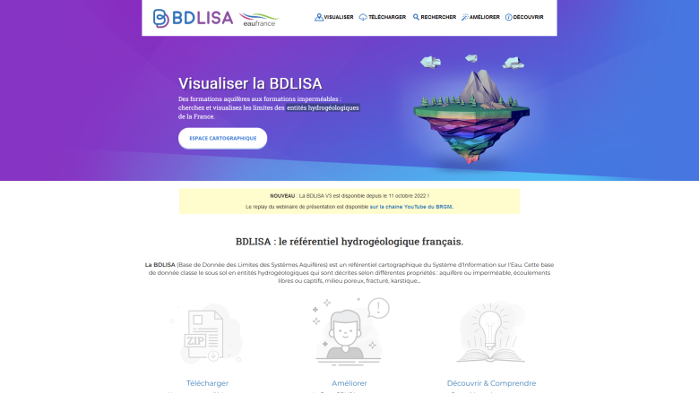
The interface of the BDLISA dedicated website map section has also been updated, enabling users to study more layers, in a comprehensible and ergonomic way.
A more condensed "reference" version of the Water Information System (SIE) can also be downloaded free of charge from the Sandre website (Service d'administration nationale des données et référentiels sur l'eau).


