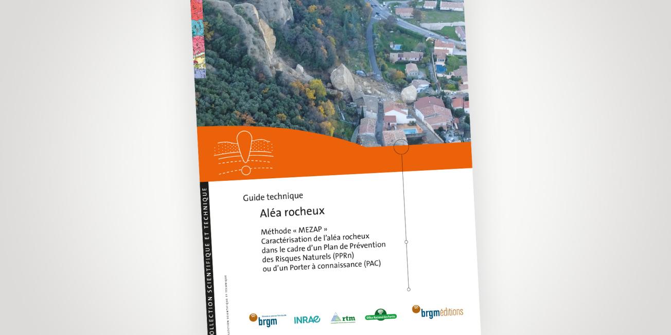
Cover of the technical guidebook “Aléa rocheux - Méthode MEZAP” (BRGM Éditions, 2022).
© BRGM
The technical guidebook “Aléa rocheux - Méthode MEZAP” (rockfall hazard zoning method) is intended for government departments that are required to carry out rockfall hazard studies as part of a PAC (knowledge transfer plan) or a PPRn (natural risk prevention plan), as well as for operators (design offices, public bodies) that carry out such studies. It is also of interest to regional or local authorities who may in some cases commission such hazard maps.
A common method to ensure the homogeneity of hazard maps of France
The MEZAP method responds to the government’s policy of maintaining a strategy that is proportional to the expectations for rockfall hazard mapping and to the resources allotted to it within the framework of a PPRn or PAC. It relies on a common basis for characterising rockfall hazards and on a standardised terminology. It proposes a pragmatic approach to rockfall hazard mapping, covering the whole range of phenomena (from individual rocks to large-scale phenomena), to ensure consistency of production from one region to another.
This document is the result of a collective investigation, undertaken in 2014 and carried out by a working group which brought together various public bodies (INRAE, BRGM, Cerema, Université G. Eiffel, ONF-RTM) and representatives of its decentralised departments, supervised by the Ministry of Ecological Transition.


