As a public institution for research and expert studies, BRGM contributes to the dialogue between science and society in its different fields.
Establishing a dialogue with civil society representatives in the French regions
BRGM's regional representatives organise meetings with representatives of civil society groups to discuss regional environmental questions relating to BRGM's areas of expertise and on which papers and articles have been published.
These meetings provide opportunities for open and constructive discussions. They stimulate exchanges of knowledge - or of knowledge "gaps” - questions from all parties and the expression of their expectations, while observing the ethical principles that guarantee transparency and trust and preserve the independent judgement of all concerned.
Summary of the meeting held at Sainte-Clotilde on 2 May 2018
Topic on the agenda
Natural risks on La Reunion Island: ground instability and production of hazard maps to be used in drawing up Risk Prevention Plans (PPR)
Date and venue
Wednesday, 2 May 2018 at the University of Reunion Island, Sainte-Clotilde
Agenda
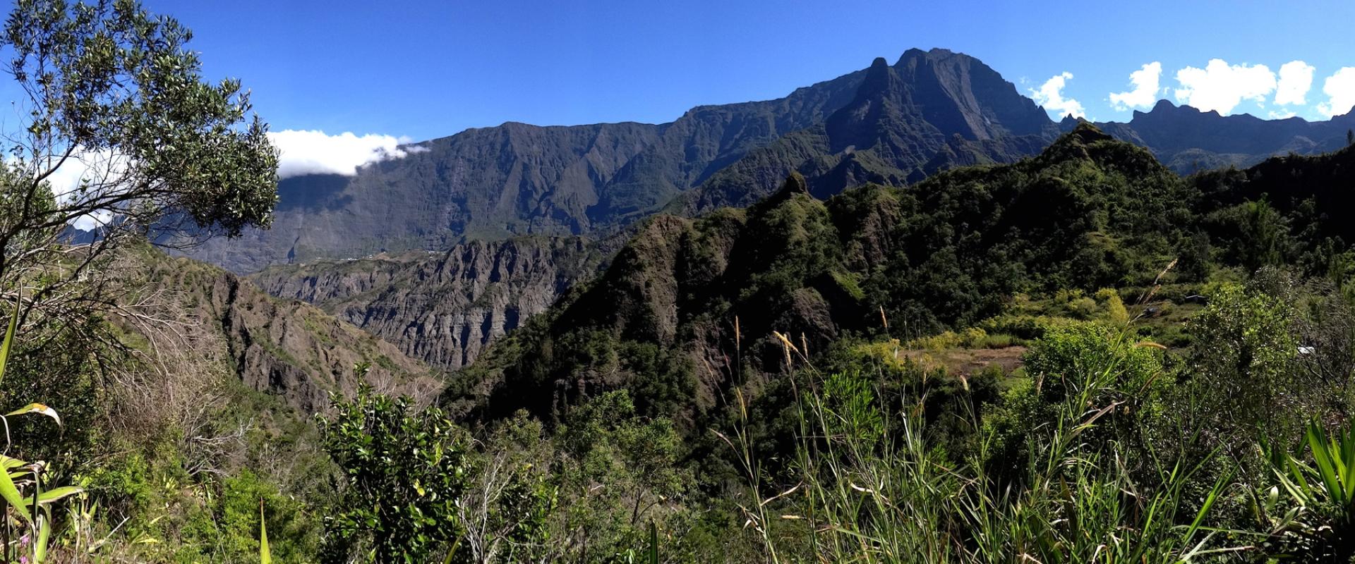
- Presentation of the main factors triggering large-scale landslips in the Cirque de Salazie: how they occur, consequences, main landslips, role of groundwater, risks and solutions
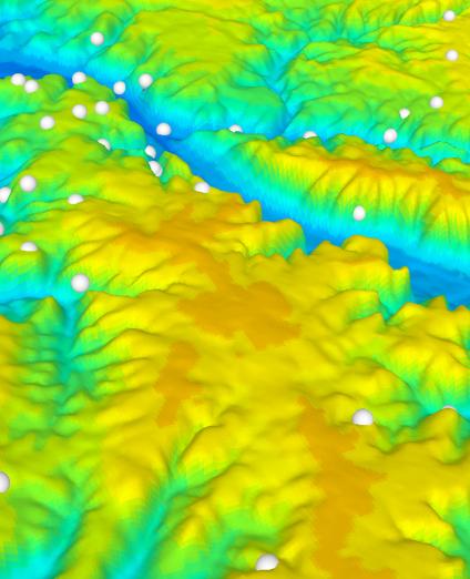
- Drawing up of hazard maps of ground instability in La Réunion's three cirques as input for risk prevention plans (PPR): morphological and climatic contexts, major phenomena, hazard definition, mapping of flood and ground instability hazards, regulatory phase of a PPR and upgrading of regulations to take these hazards into account
Participants
12 participants representing the following organisations:
- Écologie Réunion
- Qi Gong Taijé
- Raja Yoga
- Ornithological Studies Society of Reunion Island (SEOR)
- Centre Interprofessionnel de la Canne et du Sucre (CTICS) (Sugar cane and sugar interprofessional centre)
Specific points, participants' expectations and questions, discussions
Questions relating to the main factors triggering large-scale landslips in the cirque de Salazie
Are landslips inevitable? How can they be attenuated?
Theoretically, it is possible to drain the land to avoid infiltration and thus reduce the recharge of aquifers that play a role in ground instability. But this is a complex operation because the ground is highly permeable, especially in cyclone situations. Rainfall of about 50/80mm has no real impact because it is taken up by the vegetation. However, intense rainfall (during cyclones, etc.) plays an important role in accelerating ground movements.
Could the exogenous Japanese species, Cryptomeria (also known as the ‘Creole Fir’) help reduce soil erosion?
BRGM is not a specialist in this field. However, the French Forestry Agency (ONF) is replanting non-invasive tropical species originating from these areas.
Are the fascines installed by the ONF useful to control soil erosion?
Fascines are very effective to prevent very local soil erosion, but are of no use for a landslide that can shift several hundred million m3 of ground, such as the Grand Ilet landslide.
Is there any similarity between the catastrophic events of Grand Sable, Cascade Biberon and, just recently, Maniron (Étang Salé) in which two people died?
The environments of Grand Sable, Cascade Biberon and Maniron (Étang Salé) are different. At Cascade Biberon, the boulders forming a rampart began to slide due to the fracturing of lava beds. The Étang Salé event was a mudslide due to water-saturated soil.
What exactly happened at Maniron (Étang Salé), when two people died during cyclone FAKIR?
Several factors came into play: the configuration of the land, its morphology, over-saturation of the land and above all the vulnerability of the wood-built dwelling, which caved in under the mud flow.
Questions on the characterisation of ground instability hazards in the cirque de Salazie
Does BRGM go to private homes when there is a risk of ground instability?
BRGM acts on request from the government (government agencies, Prefecture, Sub-Prefecture), particularly in the most urgent situations (i.e. of imminent danger). Private individuals should contact their municipal authority, which can call on a geotechnical engineering company.
Is there an atlas of risk prevention plans (RPP)?
The maps are available for consultation at the town hall or the DEAL. They are also available on the portal to the regional PEIGEO database and on the Natural Risks on La Reunion website.

