Natural areas make up 75% of the Mediterranean/Alps region, a greater expanse than any other region of France.
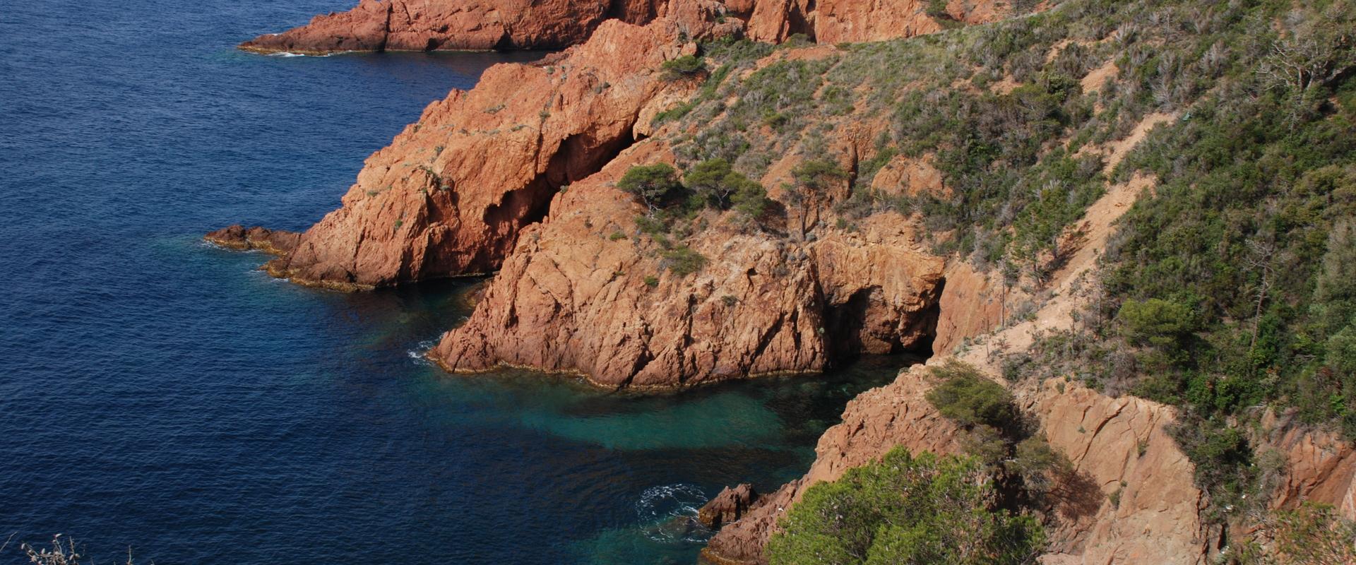
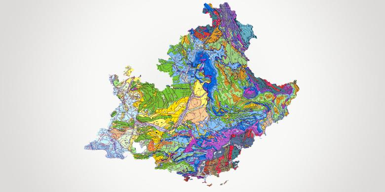
The geology of the region includes several major landscape features: the Rhône plain in Provence, the sandy coastline of the Camargue and the limestone cliffs of the Marseilles area, along with a large area of plains and hills extending to the edge of the Alp foothills. The southern Alps structure and encircle the entire north-east of the region as far as the Mediterranean, with the Côte d'Azur to the east. The highly urbanised coastline nevertheless includes the first urban coastal and marine national nature reserve (the Parc des Calanques).
In economic terms, the tourism sector accounts for nearly 10% of regional employment. Industrial activities, and notably the petrochemical sector, are located mainly around the Etang de Berre lagoon.
The region also has a wide range of research activities, particularly in the fields of risk management (natural and human-induced) and geosciences.
The pressure on land as well as the presence of anthropogenic pollution (soil pollution and waste) demand sustainable and innovative resource management.
BRGM provides support for economic and research players as well as contributing to public policies promoting harmonious regional development in terms of water resource management, natural risk control and pollution.
Partners
- Local and regional authorities: Region Sud, Bouches-du-Rhone département, Aix Marseille area, Toulon SCoT, Menton and others
- Government departments, agencies and public institutions: DREAL, ARS, DDTM, Rhône-Méditerranée Water Board, ADEME, universities (Géoazur, CEREGE, etc.), Calanques National Park, etc.
- Companies: SMEs and national groups.
Practical information
To find out more
What's new in Provence-Alpes-Côte d'Azur?
Risks and spatial planning
Knowledge and prevention of natural hazards
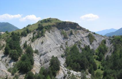
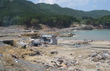
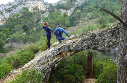
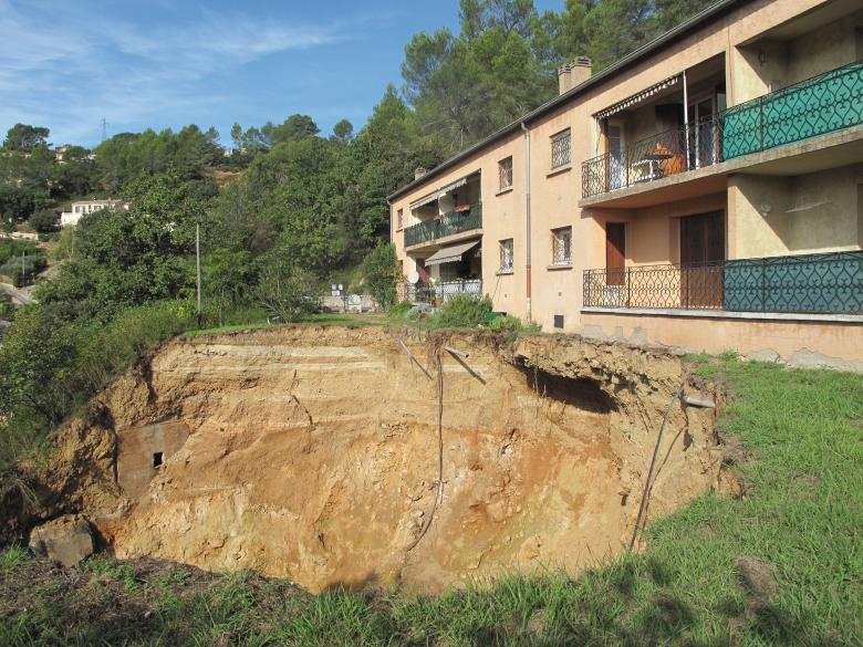
The region has many natural hazards. In addition to the seismic risk and risk of flooding to which it is vulnerable, the region is also affected by landslides, the shrinkage and swelling of clay, and the dissolution of gypsum. The impact of climate change will also increase the level of risk, particularly with respect to coastal flooding along part of the regional coastline.
BRGM plays a key role in understanding and managing natural risks, by providing scientifically-based, technical solutions. More specifically, regional risk management strategies can make use of the Regional Observatory of Major Risks set up by BRGM, with governance shared between DREAL and the Region.
Management of polluted environments, and the circular economy
BRGM is the acknowledged authority in France for designing diagnostic processes, or for developing and assessing processes for monitoring or rehabilitating polluted environments (industrial wasteland, former mining sites). It is also a key player in the circular economy, contributing to the rational, sustainable and responsible management of primary and secondary mineral resources (construction waste, excavated earth, etc.).
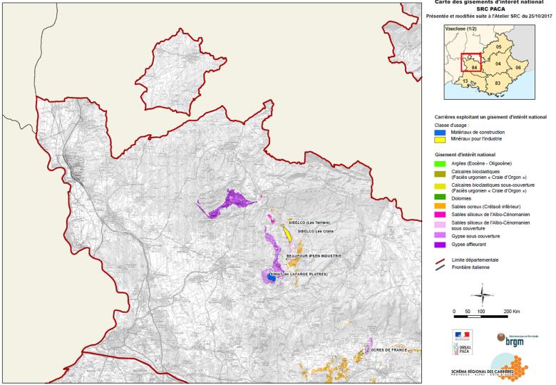
In the Provence-Alpes-Côte d’Azur département, BRGM provides third-party services with expert appraisals of classified installations and studies for manufacturers and local authorities in relation to the management of waste and polluted sites (NF X31-620): studies, assistance and inspections. It also contributes to the development of strategic documents on a regional scale (POLMAR Plan, Quarry plan and secondary resources).
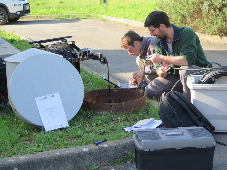
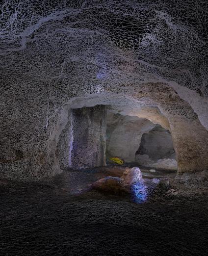
A campaign of video surveys and multi-parameter logs for the CONCERT-EAUX project.
© BRGM - Florence Rivet
Groundwater management: protecting and developing resources
Alpine surface water is predominant in the regional water supply, so less use is made of groundwater.
However, in view of concerns about safeguarding water supplies and the potential impact of climate change, regional authorities are conducting surveys to improve their knowledge of deep or alluvial catchment basin, and studying the potential for recharging groundwater for urban and agricultural uses.
BRGM develops methods for characterising, monitoring and modelling flows through research programmes. It is also carrying out quantitative monitoring of 30 groundwater bodies in the Rhône-Mediterranean basin, using a network of piezometers which enable it to disseminate groundwater levels in real time.
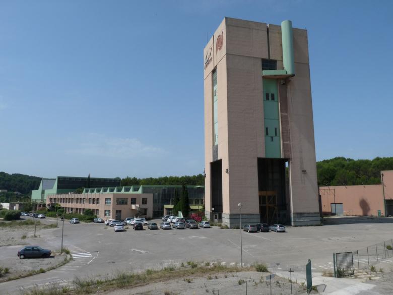
Former mine pit with the concrete pit headframe of the Morandat shaft, which will become the Joint Development Zone (ZAC) for exploiting the geothermal potential of mine waters.
© BRGM
Subsurface potential for the energy transition: geothermal energy development
In the light of the strong economic and demographic growth and the relative distance from the major national nuclear infrastructures, the energy transition is a major challenge for this region. Geothermal energy offers the development potential for pertinent local solutions, depending on the hydrogeological situation. In the Bouches-du-Rhône, for example, BRGM is helping to convert former flooded lignite mines in order to exploit their geothermal potential for heating and cooling networks.
Furthermore, BRGM is drawing up geothermal potential maps on different scales, including areas with geological risks. It is also developing monitoring methods aimed at avoiding conflicts of use between human activities in the urban subsurface.


