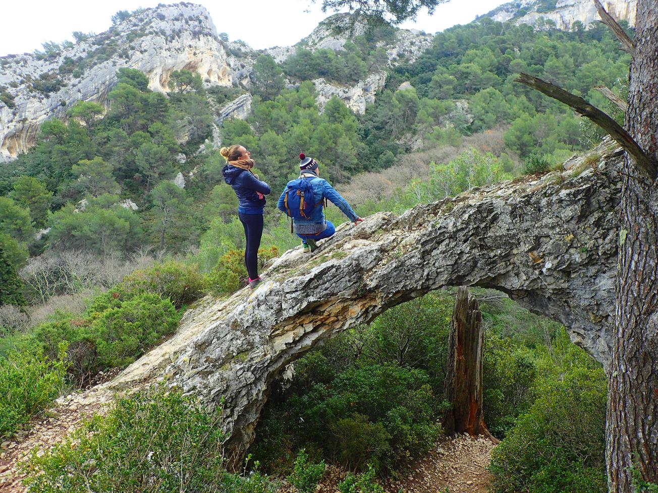
Observation of the karst morphology in the Alpilles mountain range (Saint-Rémy-de-Provence, 2021)
© BRGM - E. Husson
The need
In order to ascertain the potential existence of a deep groundwater resource, the Rhône Méditerranée Corse Water Agency called for a study to characterise the nature and intensity of karstification in the deep covered Mesozoic (Cretaceous and/or Jurassic) limestones and to assess their potential as a groundwater reservoir. Moreover, these reservoirs must be sufficiently independent of surface water flows to provide alternatives and reduce the impact of abstraction on certain drought-sensitive rivers or connecting aquifers.
The results
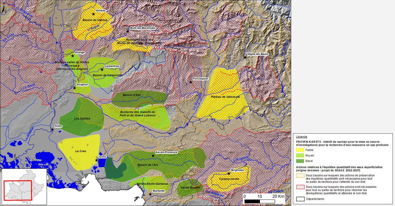
BRGM has carried out a major study, summarising the available information, to identify the current state of knowledge on the geological history of Provence and on the various karstification episodes that the region has undergone. The impact of these karstification phases on the creation of potential or proven aquifers was analysed in the thirteen areas studied. Interpretation of several seismic profiles provided information on the geometry of the target geological formations. After cross-referencing these characteristics with an analysis of the available hydrogeological data and the state of knowledge of the hydrogeological functioning of these thirteen areas, they were prioritised with regard to their potential use for finding and characterising a deep water resource. These results were then compared with the knowledge of regional experts under the project.
The potential of each area was thus determined, taking into consideration the progress of the surveys already carried out and the criteria favouring the presence of a deep aquifer (state of karstification of the target formation, depth, potential recharge, proven productivity, separation from surface water systems and water quality).

Map of the potential of each area for finding a deep water resource in relation to surface water catchment areas where action has been specified in relation to the quantitative surface water balance
© BRGM


