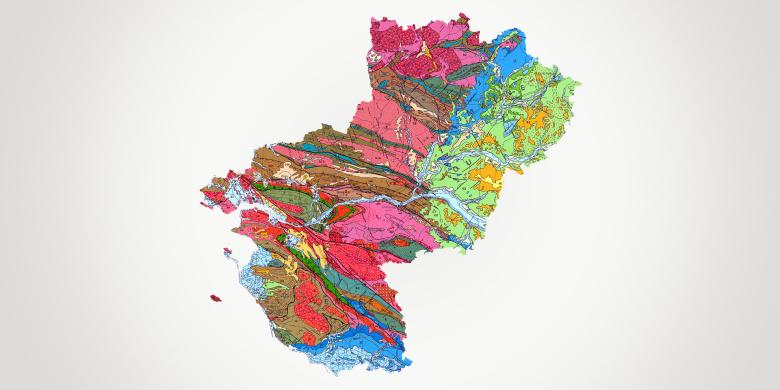
The Pays-de-la-Loire is the 8th largest region of France, with a population of 3.7 million across five départements: Loire-Atlantique, Maine-et-Loire, Mayenne, Sarthe and Vendée. The region consists mostly of highly tectonised ancient bedrock belonging to the Armorican Massif. It also has a sedimentary overburden on the north-eastern and southern edges belonging to the Paris and Aquitaine basins respectively. In economic terms, key influences are the industrial axis along the Loire estuary from Nantes to Saint-Nazaire and the development cluster of Le Mans, benefiting from the proximity of the Paris region. The farming sector is strong and the Pays-de-la-Loire ranks second in France for the value of its agricultural production. A key feature of the region is the seafront, with 350 km of coastline, including 215 km of beaches that are highly popular with tourists. The economic and spatial-planning objectives of the Pays-de-la-Loire are set out in the regional master plan for economic development, innovation and internationalisation (SRDEII) and the regional master plan for spatial planning, sustainable development and territorial equality (SRADDET), to which BRGM contributes expertise in its key areas of specialisation.
Partners
- Government departments: DREAL, ARS, DDTM, Prefectures.
- Local and regional authorities: Pays-de-la-Loire Region, départements, water companies, cities, conurbations, municipalities.
- R&D establishments: Universities, UGE, IMT Atlantique, Agrocampus Ouest, Cerema.
- Agencies: Loire-Bretagne water board, ADEME.
- Companies: planners, mines and quarries, consortia.
Practical information
To find out more
What's new in Pays de la Loire?
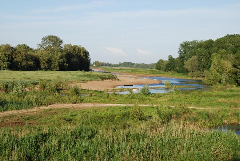
A branch of the Loire in low water in the Saumur region (Maine-et-Loire, 2007).
© BRGM - François Michel
Groundwater management: protection of resources
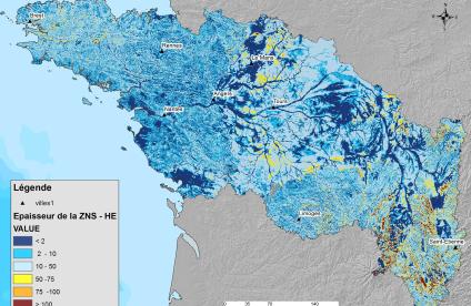
For several decades, the Pays-de-la-Loire region has sought to address quantitative and quality management issues in relation to its water resources. The activities of the regional division focus primarily on the study, monitoring and preservation of water resources.
A team of hydrogeologists deals with all groundwater-related issues:
- monitoring of groundwater levels,
- assessment of available resources,
- search for sources of contamination,
- assessment of the vulnerability of aquifers,
- water management in urban environments,
- development of decision-support tools.
The region needs to adapt the way in which water resources are managed, in order to take account of the expected effects of climate change. Through its Research and Development activities, BRGM is a major player in this respect and is already developing methods of application including the implementation of active aquifer management. BRGM also runs the network monitoring the groundwater resources used for drinking water in Maine-et-Loire. From a qualitative standpoint, it conducts studies on the causes of diffuse pollution, while also looking at socio-economic approaches to methods of mitigation / remediation and the value of environmental protection.
Mineral resources and the circular economy: circular economy
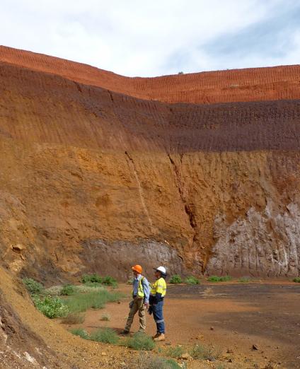
BRGM is also a key player in the circular economy, contributing to the rational, sustainable and responsible management of primary and secondary mineral resources (construction waste, excavated earth, etc.).
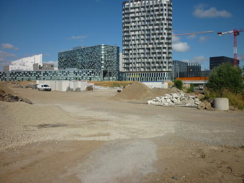
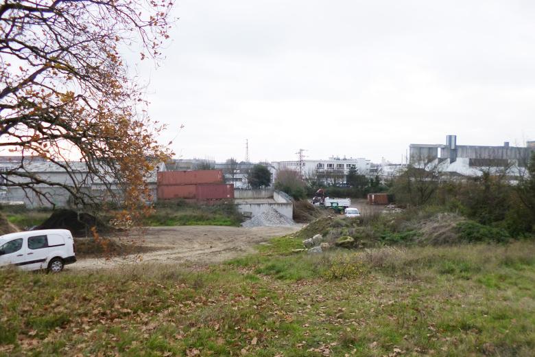
Through its major worksites in the Pays-de-la-Loire region, and in particular the Nantes conurbation, BRGM has been able to develop methods to manage and recycle excavated soil and waste, integrating all processes, including traceability.
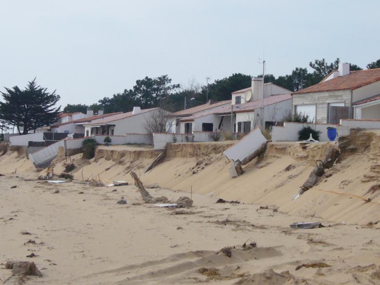
Houses damaged by dune erosion at Tranche-sur-Mer, in the wake of the Xynthia storm (Vendée, W France, 2010).
© BRGM - Rodrigo Pedreros
Risks and spatial planning
Knowledge and prevention of coastline hazards
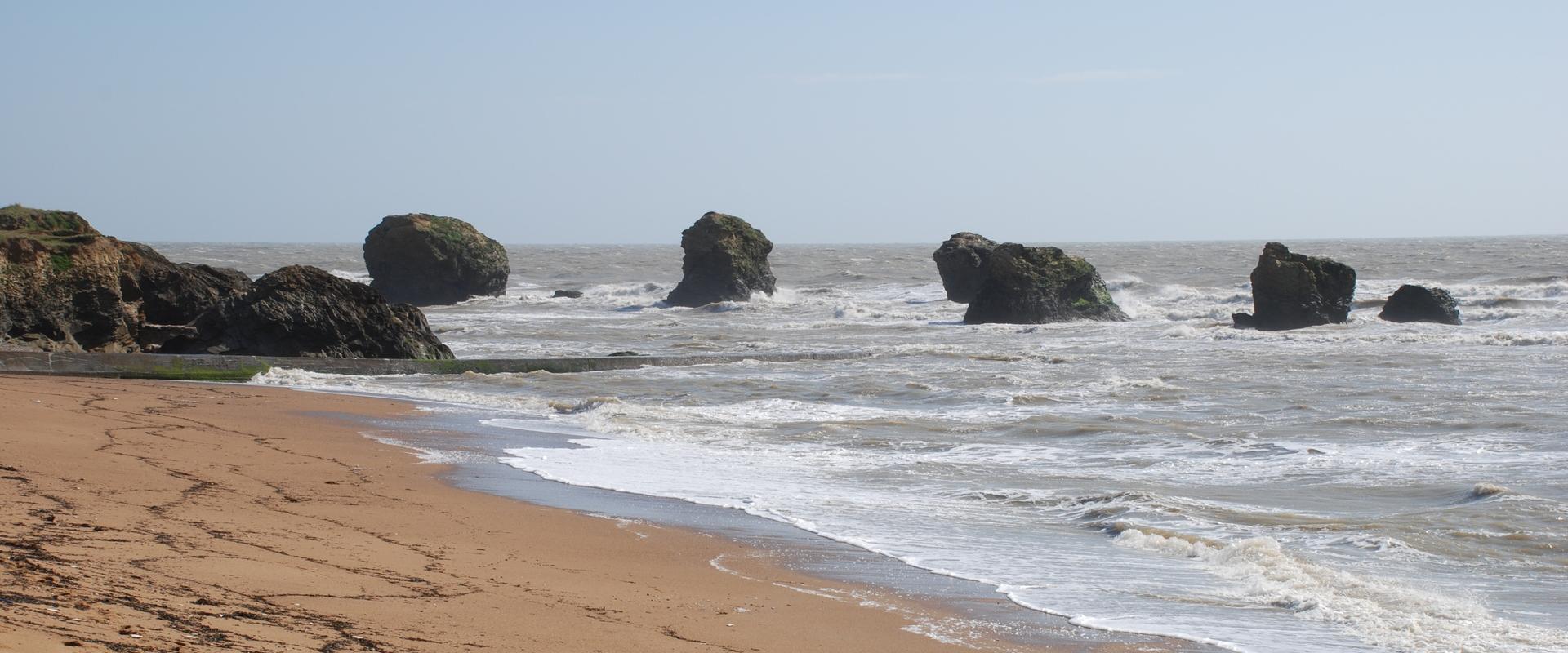
The coastline of the Pays-de-la-Loire stretches over 350 km, including 215 km of beaches. Its diversity implies a variety of natural risks.
BRGM assists government departments and local and regional authorities by providing multi-faceted support for sustainable coastal management:
- characterisation of coastal hazards and the creation of hazard maps,
- assessment of the impact of construction work on the coastline,
- monitoring climate change.
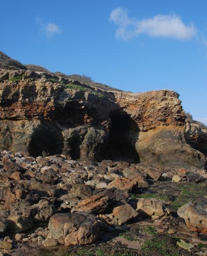
Further, BRGM is contributing to the coastal observatory of the Océan-Marais de Monts intermunicipality, establishing the characterisation of the internal structure of the sandy shorelines (resistance to meteorological and marine forcing), and producing decision-support tools for managing rocky coastlines subject to erosion.
Knowledge and prevention of gravity-related risks
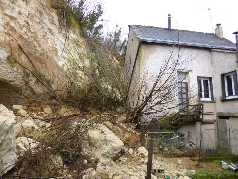
BRGM supports local players through its expertise in the natural hazards associated with the risk of land movements (landslides, block falls, collapse of underground cavities).
As part of this work, the BRGM regional directorate carries out:
- hazard characterisation,
- identification and mapping of underground cavities,
- stability diagnoses of local structures (cliffs, underground cavities).
Urban planning
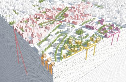
The work of BRGM covers all issues relating to the soil and subsurface and is focused on providing decision-support tools for the development of urban and peri-urban areas.
Developments in large conurbations such as Nantes and Angers Loire are increasingly working on the optimisation and reuse of land and the subsurface, particularly for making cities more sustainable and resilient through the reuse of former wastelands, the use of surface and subsurface materials, geothermal energy, and the management of urban water resources. The regional directorate is directly involved in projects to integrate groundwater into urban planning.


