Occitania, the second largest region in France with 13 départements, has 5,830,166 inhabitants and welcomes more than 50,000 newcomers every year. This is a major challenge for sustainable use of the region's natural resources (water, materials, energy, etc.) and the conservation of its exceptional natural heritage. Although urbanisation is proliferating and needs are increasing along the coast (220 km) and on the Toulouse plain, 40% of the Region's surface area consists of remarkable protected natural areas.
Finally, the Region is particularly vulnerable to natural hazards and the effects of climate change, the impacts of which are already being felt with regard to water resources, coastal development, flooding and landslides.
In this context, the role of BRGM, which has been operating in Occitania for 60 years, is to provide its partners with the necessary knowledge of the subsurface and natural resources and make full use of it: to characterize underground water resources to ensure their sustainable use or to understand their contribution to floods, to study changes in the coastline to help local authorities optimise their developments, to predict and make contingency plans for marine flooding in coastal municipalities, to identify usable geothermal resources and to support their exploitation, or to assist with soil decontamination.
Partners
- Local and regional authorities and government departments: Regions, Major Cities, Conurbations, Federations of Municipalities and Public Regional Catchment Area Authorities, Departments, Municipalities, DREAL, ARS, DDT(M), Prefectures, AEAG, AERMC, ADEME, Regional Nature Parks and National Parks.
- Companies: Regional SMEs and national groups.
- BRGM is a member of: I-SITE MUSE, UNESCO International Centre of Montpellier, G-EAU Joint Research Unit (UMR), Aquavalley competitiveness cluster, TERINOV cluster.
Practical information
To find out more
What's new in Occitanie region?
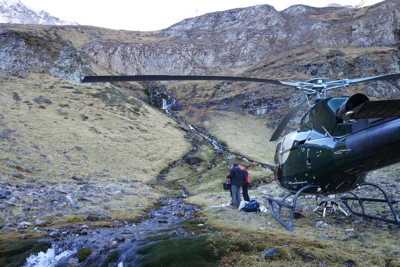
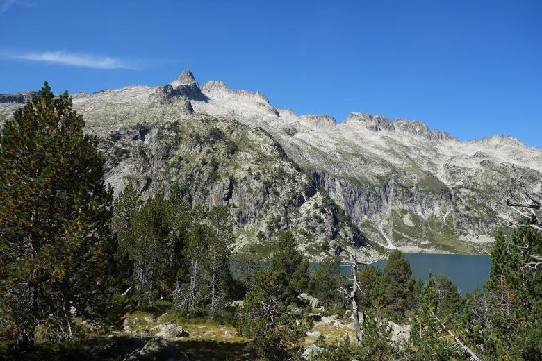
Hydrogeological reconnaissance of the Bentaillou limestone formations in the Ariège département.
© BRGM
Groundwater: monitoring, understanding and dissemination for better management
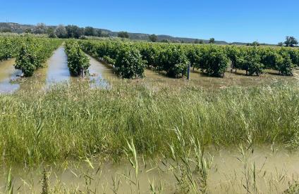
Already affected by the impacts of climate change and the effects of human activities, water management in Occitania involves dealing with increasingly scanty resources, with a proven decrease in natural aquifer recharge and increasingly severe droughts, altered aquifer quality due to nitrates, pesticides or saline intrusion phenomena, and an upsurge in flooding involving groundwater.
BRGM's permanent roles include observing groundwater levels and pollution, understanding underground water flows, assessing usable resources and studying the transfer of emerging pesticides and pollutants into the groundwater. It is also developing innovative approaches to groundwater management, such as seasonal aquifer recharge. Occitania is also the most important thermal region in France and BRGM provides its expertise and knowledge of geothermal and mineral water resources to support the development and conservation of this unique asset.
Geology and knowledge of the subsurface: mapping and support for stakeholders
Most environmental and spatial planning issues cannot be properly addressed without reliable knowledge of the subsurface.
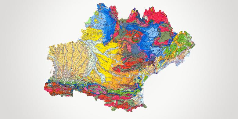
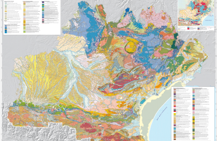
BRGM is providing public access to all available geological knowledge by publishing geological maps, drilling and borehole records from the subsurface database and a map of materials for the Regional Quarries Plan. The geological diversity of the region provides a natural and cultural heritage that is also unique for France and for Europe and should be conserved and developed as a resource contributing to the attractiveness of the area and the development of tourism. This is why BRGM, in partnership with the DREAL, has been producing and distributing an inventory of remarkable geological heritage sites since 2008.
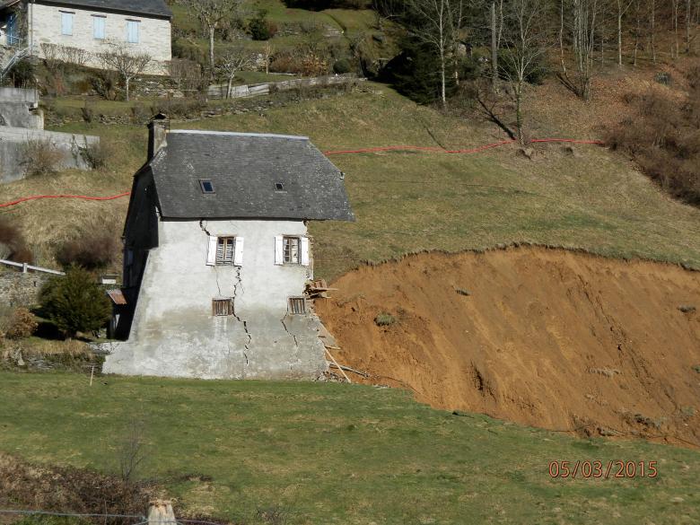
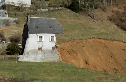
A mountain house destroyed by a landslip near Gazost (Hautes-Pyrenees, 2015).
© BRGM - Isabelle Bouroullec
Risks and spatial planning: understanding and preventing natural hazards
The region is exposed to all types of natural hazards and each year suffers a high human and material toll. Through its knowledge of the terrain and natural phenomena, BRGM provides expert assistance to its partners in assessing events (landslides, boulder falls, earthquakes, cavities, clay shrinkage and swelling), understanding their origins and predicting them.
For this purpose, BRGM produces reference maps of hazards on different scales, monitors the seismic risk in the Pyrenees in partnership with Spain and deploys instruments to monitor a range of sites over time to better understand the mechanisms involved and their relationship with climate change.
With 20 seaside resorts and 8 million tourists per year, the coast is an essential factor in the economic development of the region. Its development and conservation are issues to which BRGM contributes to meet the needs and answer the questions of local authorities and the State as closely as possible. How is the coastline changing? How fast? What are the effects of storms? What will be the impact of climate change and sea level rise? What developments are appropriate and how effective are they? BRGM is responding to these questions by setting up beach observatories adapted to the needs of each partner (OBSCAT). BRGM also contributes to the dissemination of information and data.
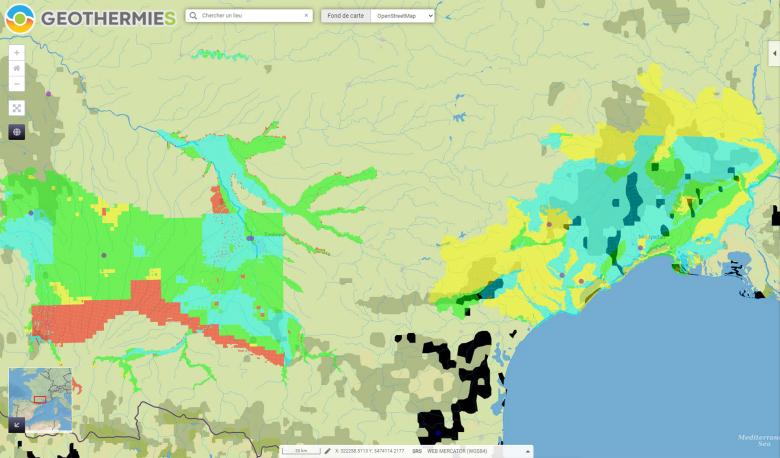
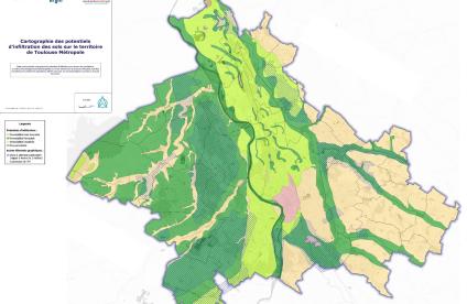
Map showing the geothermal potential of the former Midi-Pyrénées region and the Gard and Hérault départements.
© BRGM
Subsurface potential for the energy transition: geothermal energy development
The Occitania Region aims to be the first Positive Energy Region in Europe, with 150% growth in renewable energy by 2050, relying in particular on its natural resources: solar, wind and geothermal energy.
BRGM is actively involved in identifying geothermal resources (maps of potential, identification and development of new sources such as thermal springs, geological and thermal expertise) and in supporting a job-creating sector (training, communications, regulations, etc.).


