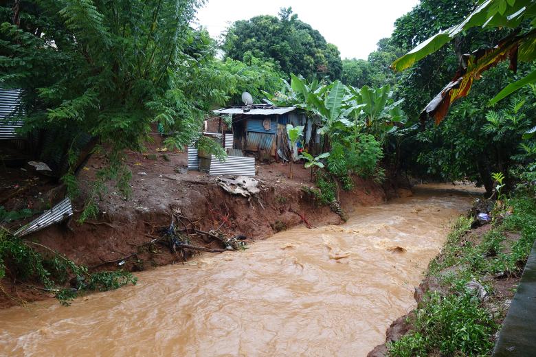
Mayotte became the 101st French département on 1 April 2011. On this small island (374 km2) in the Indian Ocean with a population of 279,000, significant economic development and population growth is putting increasing pressure on the environment and natural resources.
For more than twenty years, BRGM has collected a great deal of information on geology, hydrogeology and natural hazards, thus helping to set up an indispensable spatial planning policy given the island's dense population. It works with local authorities, government departments and private companies to provide operational responses to local and regional issues. Its missions concern the acquisition of knowledge, diagnostics, consultancy, creation of management and decision-making tools, and capitalising and adding value to data with respect to groundwater, natural hazards, geothermal energy, polluted sites and soils, and the circular economy.
This work draws on many years of experience in providing input for public policy, but also on research and development work.
Partners
- Government departments: Prefecture (SGAR, SIDPC), DEAL, ARS, DAAF, ADEME, Conservatoire du littoral, OFB.
- Local and regional authorities: Department, Water Syndicate (SMEAM), Conurbation Communities and Municipalities.
- But also: the Parc Naturel Marin de Mayotte (PNMM), the Société Immobilière de Mayotte (SIM), the Agence Française de Developpement (AFD), the private sector.
Practical information
To find out more
What's new in Mayotte?
Groundwater management: protection and sustainable management
In Mayotte, where surface water resources are widely exploited, groundwater is a complementary resource that is better distributed throughout the territory and less vulnerable to pollution.
Due to an accelerating increase in water consumption (a rise of 25% between 2013 and 2017) and the vagaries of the weather, the department of Mayotte regularly experiences periods of crisis. BRGM has been commissioned to provide scientific and technical assistance and geological, geophysical and hydrogeological expertise in the context of search for new resources, exploitation, protection and quantitative and qualitative monitoring of groundwater.
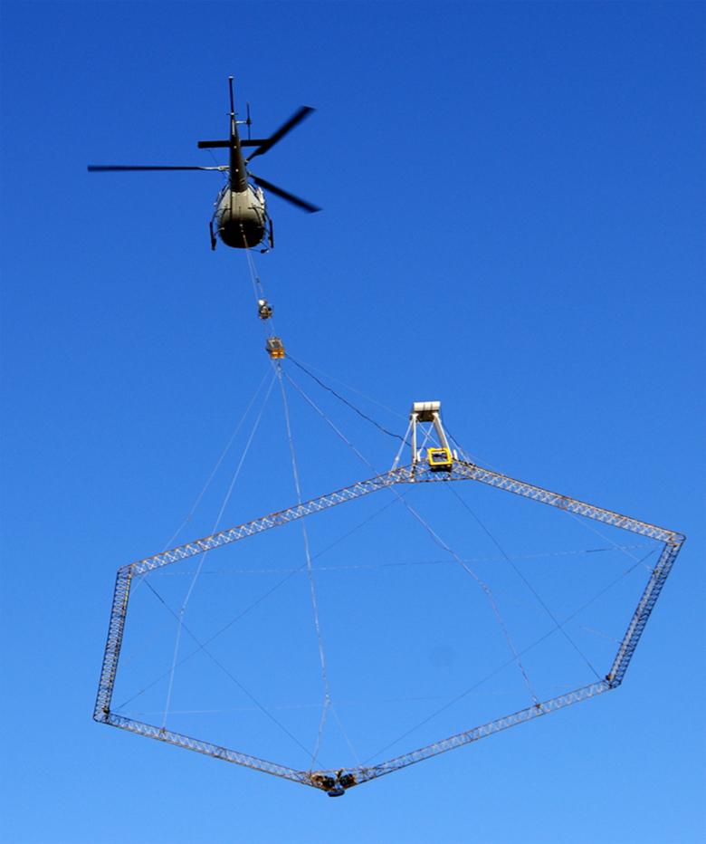
Heliborne geophysical surveys: measuring magnetism across Mayotte for the GéoMayotte project.
© BRGM
Geology and knowledge of the subsurface: mapping and support for stakeholders
With improved geological knowledge, the authorities can respond to particular public needs (mineral resource exploitation, groundwater management, natural hazards).
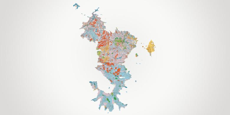
BRGM has produced a geological map of the island and undertaken a helicopter-borne geophysical campaign (“GéoMayotte”) which has enabled the development of a regional data infrastructure. This allows, for example, the identification of potential areas with mineral resource deposits, groundwater resources, areas vulnerable to land movement or areas that are vulnerable to the risk of saltwater intrusion.
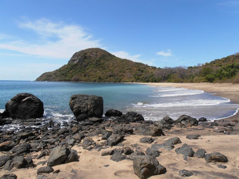
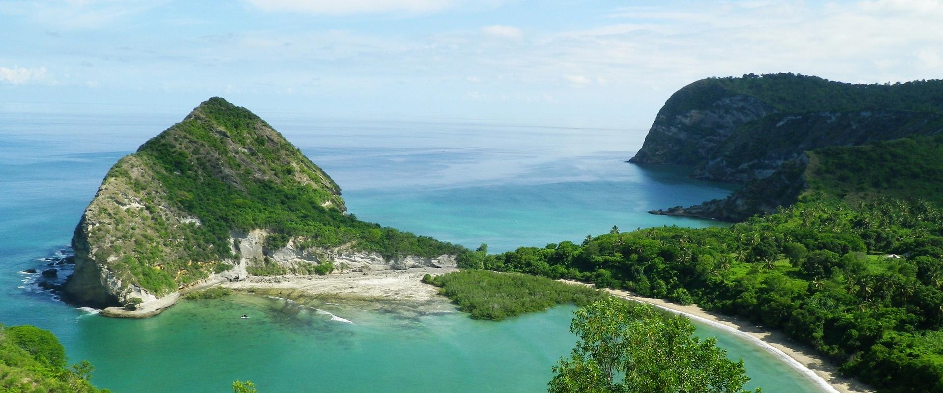
Foreground: a white sand beach partly covered in blocks of black basalt. Background: Mayotte’s lagoon with the Saziley headland, a lava dome known as the “Crocodile’s Head” (Mayotte, 2011).
© BRGM - Nicolas Ollivaud
Risks and spatial planning
Knowledge and protection of coastal environments
The population increase that the island is experiencing is exerting ever-greater pressure on the region and more particularly on the coastal areas (erosion and coastal flooding, requiring the protection of populations and infrastructures, etc.). The aim is to gain a better understanding of coastal environments in order to better adapt to coastal risks.
BRGM has several research projects that aim to prevent coastal risks. Simulation of cyclonic swells and their effects, with mapping of the Mayotte "coastline recession” hazard, as part of the preparation of the coastal risk protection plan (PPRL) for coastal municipalities and morphological monitoring of beaches.
Hazards related to morphological, geological and climate contexts
In the particular geological, morphological and climatic contexts of Mayotte, the various development projects on the island are highly vulnerable to various natural hazards other than coastal ones: landslides, collapses, boulder falls, erosion, floods, and earthquakes.
BRGM cooperates closely with the government and local authorities and is working to improve knowledge, particularly with the mapping of natural hazards and the creation of the first natural hazard prevention plans (PPRNs). BRGM has also been contributing since 2015 to the Fight against Soil Erosion and Silting-up of the Lagoon in Mayotte (LESELAM project). BRGM is part of the volcanology and seismic network, Revosima (RÉseau de surveillance VOlcanologique et SIsmique de MAyotte) and participates in the scientific monitoring of the seismo-volcanic phenomenon that occurred in 2018, in particular by monitoring and providing information on the earthquakes felt by the population and carrying out oceanographic missions and geophysical measurements (seismic refraction, magneto-telluric, etc.). It also maps the local seismic hazard and assesses the vulnerability of buildings to it.
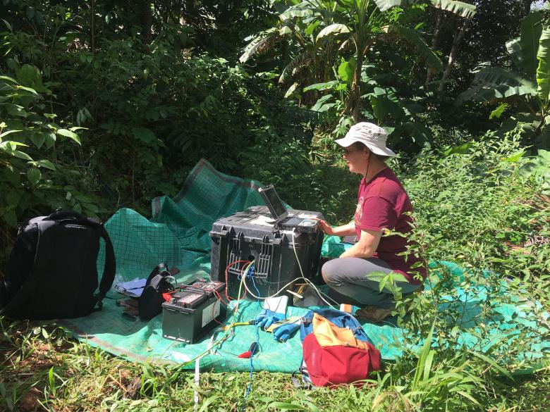
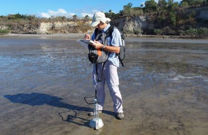
Electromagnetic geophysical measurements at Petite Terre (Mayotte) in 2019 onshore
© Pascal Tarits, Université de Brest Occidentale/IMAGIR/MAPPEM
Subsurface potential for the energy transition: geothermal energy development
Geothermal energy is included in the regional ecological and energy transition policy and is a promising alternative for MAYOTTE. Studies of the deep geothermal potential are continuing in order to determine the feasibility of exploiting high enthalpy geothermal potential in the Petite-Terre area.

