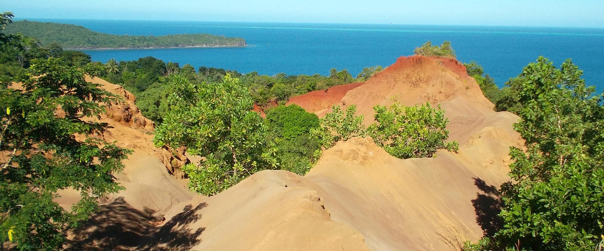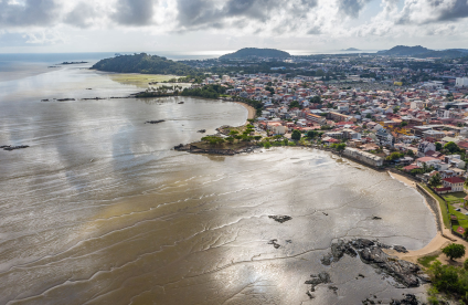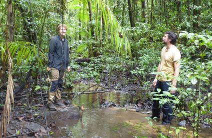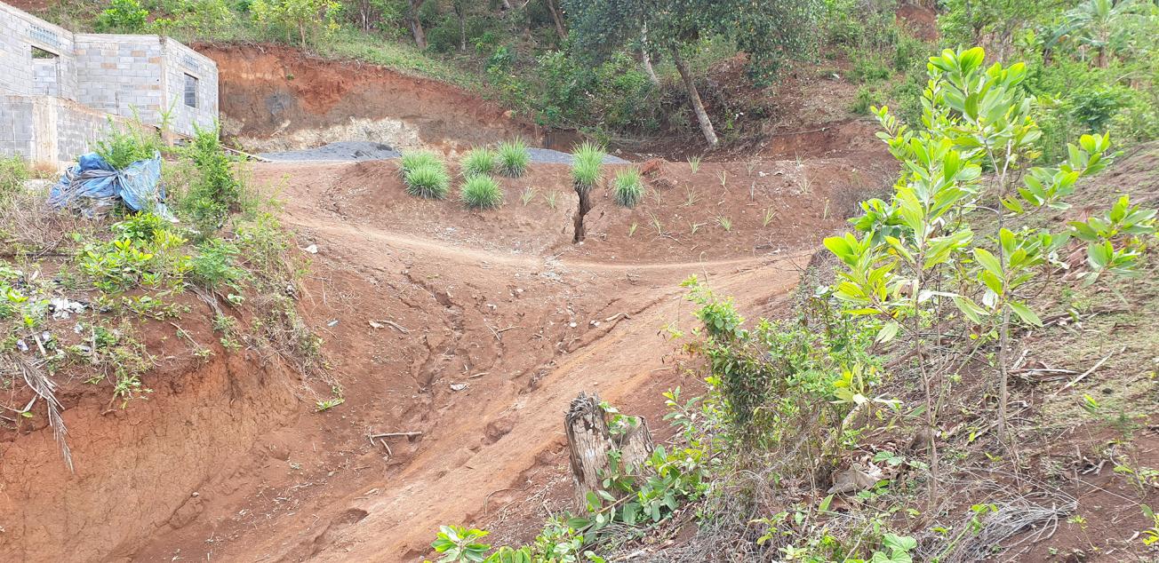
Soil erosion in Mayotte in an urban context (Longoni, 2020).
© BRGM - V. Landemaine
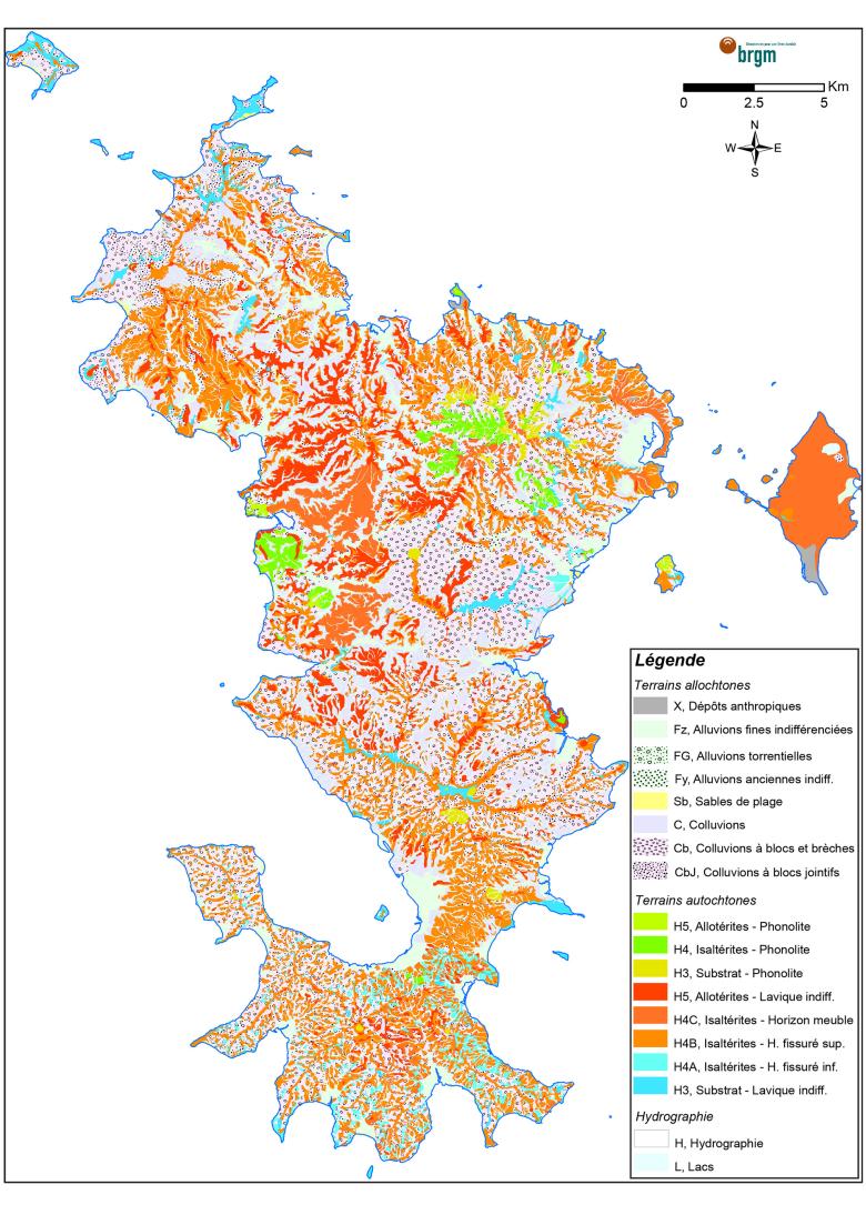
Lithological map of the surface of the island of Mayotte (from 0 to -1 m) at a scale of 1:10,000(2020).
© BRGM
The need
The EROMAY project is a component of the Roadmap for combating soil erosion in Mayotte, which has been implemented by the public authorities (in particular the DEAL) since 2012. The roadmap sets out a series of actions to study the catchment basin-lagoon system in order to identify, quantify and control the various biophysical factors that determine how soil is eroded by water in natural, agricultural and urban environments. The ultimate aim is to protect Mayotte's main environmental, economic and tourist asset: the lagoon. In order to characterise the materials that could be displaced by erosion and transported to the lagoon, more information was needed about the lithological nature of surface outcrops and the top layer of soil (the first tens of centimetres, going down to about one metre).
The results
The EROMAY project delivered a predictive lithological map of the surface formations (from 0 to 1 m in depth) across the whole of Mayotte at a scale of 1:10,000. The map was produced by cross-processing geophysical data (from the 2010 heliborne electromagnetic survey), morphological data (slope and curve of the DTM) and precise field observations (geological survey). A visual comparison between the geological map at a scale of 1:30,000 and the new lithological map of the surface at a scale of 1:10,000 shows the significant improvements made, thanks to the precision of the surface data.
Using the results
The information acquired about soil erodibility (the soil's sensitivity to erosion according to its composition and structure) across the entire surface area of the island is used as input data for the Watersed erosion model (Landemaine, 2016), used to assess sediment movements across all of Mayotte's catchment basins.
The project results also underline the significant value of the approach (combining geology and geophysics) and the potential provided by data from electromagnetic surveys for producing relevant predictive lithological maps that can be used to study various different subjects, such as soil erosion, ground movement risks, etc.
Other projects combining geophysics and geology are currently in progress, for example to study a landslide risk in Martinique.
The partners
- SGAR (Convergence Contract funding)

