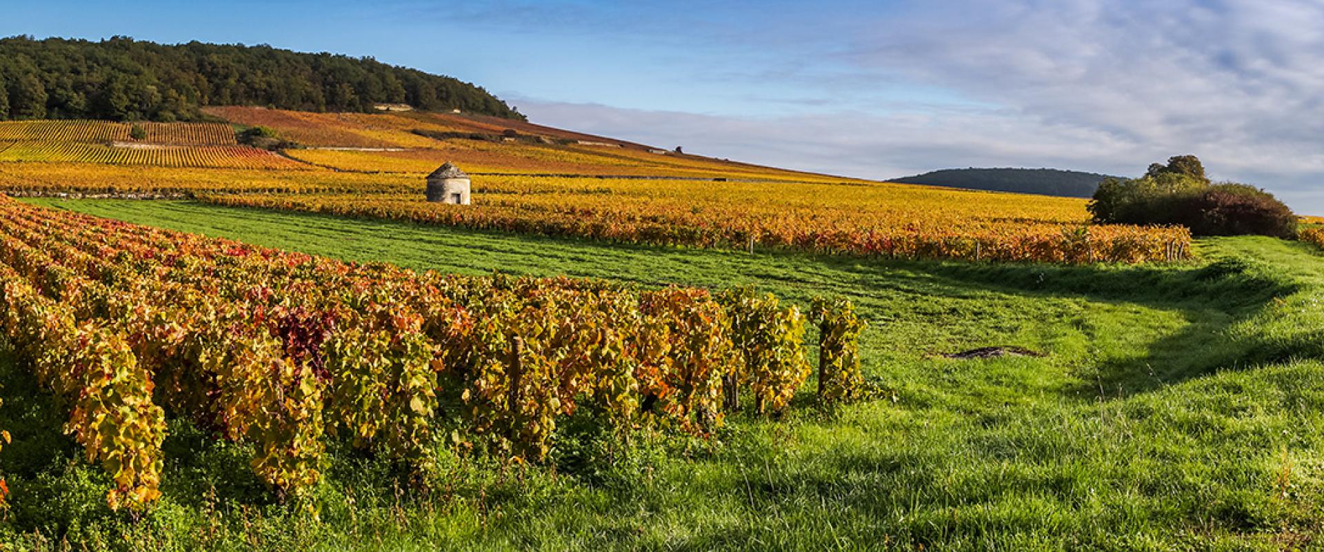
With a surface area equivalent to that of Switzerland and a population of 2.8 million, Bourgogne Franche-Comté is the 4th largest region in France. This region is mainly agricultural (with cereals, livestock and vineyards, etc.), supported by outstanding agro-food sectors with high added value and cutting-edge industry.
The region stretches from the Swiss Jura to the plains of Ile-de-France and from the Ballon d'Alsace to the Morvan mountains. It includes the Rhine-Rhône axis, a vital urban and economic structure and a road, rail and river communication hub in the heart of Europe. BRGM is one of the region's leading providers of subsurface data. It works with local authorities, government departments and private companies to provide operational responses to local and regional issues. Its role involves knowledge acquisition, diagnosis, the creation of management and decision-making tools and pooling and optimising the use of data on issues related to groundwater, natural hazards (boulder falls, subsidence, landslides, etc.), geothermal energy, polluted sites and soils and the circular economy.
This work draws on many years of experience in providing input for public policy, but also on research and development work.
Partners
- Government departments: DREAL, ARS, DDT, OFB, Prefectures, Agencies (Rhône-Méditerranée-Corse and Seine-Normandie Water Agencies, ADEME), universities.
- Local and regional authorities: Departments, water agencies, major cities, conurbations and municipalities.
- Private companies: chemicals, energy, material extraction.
Informations pratiques
To find out more
What's new in Bourgogne-Franche-Comté?
Groundwater management: knowledge and protection of resources
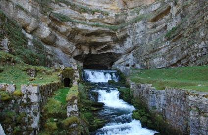
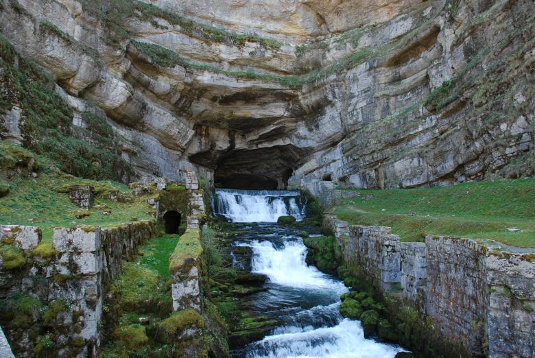
The karst formations that characterise many of the region's landscapes increase the vulnerability of the groundwater and the rivers. In a context of climate change, the increasing pressure on groundwater resources requires improved knowledge.
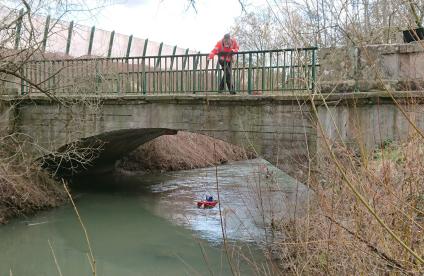
Faced with the degradation of the quality of water resources due to human activities, BRGM is developing methods to monitor and model water flows through multi-year research programmes, as has been the case since 2015 for the rivers of the Comtois region with the Quarstic and Nutri-Karst projects. BRGM quantitatively monitors 38 groundwater aquifers using more than 110 remote-transmission piezometers that make it possible to disseminate groundwater levels in real time. Following the recent droughts, several projects are being studied to optimise the use of the piezometric data, in particular to improve understanding of water exchanges between groundwater and rivers.
The regional division also helps local authorities (Grand Chalon, Metropolitan Grand Besançon and Grand Belfort) in acquiring knowledge and managing their strategic water resources.
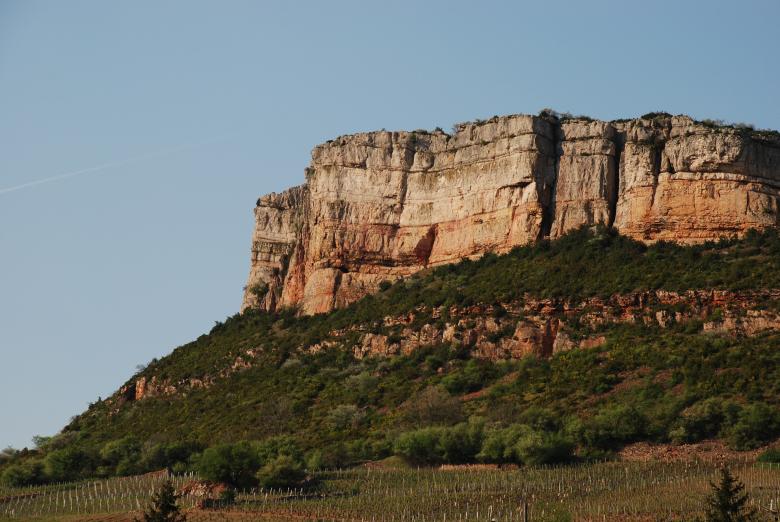
The Vergisson escarpment, a limestone formation near the Roche de Solutré (Bourgogne, France, 2007).
© BRGM - François Michel
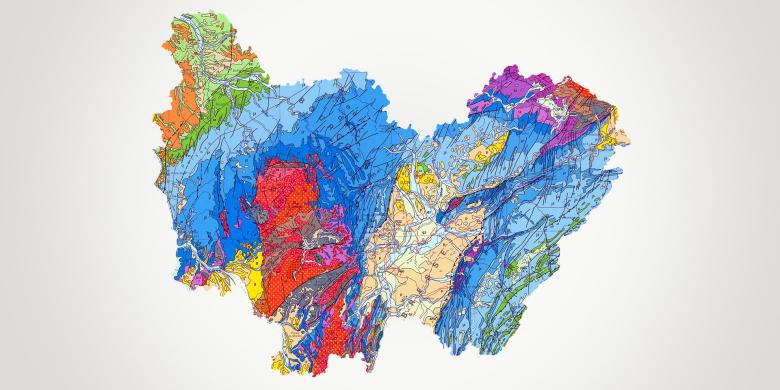
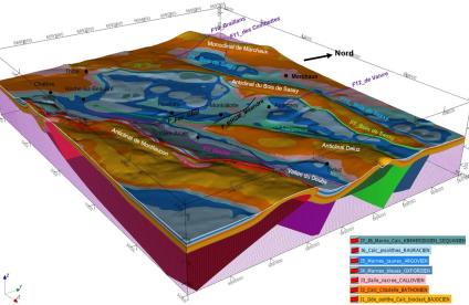
Geology and knowledge of the subsurface: mapping and support for stakeholders
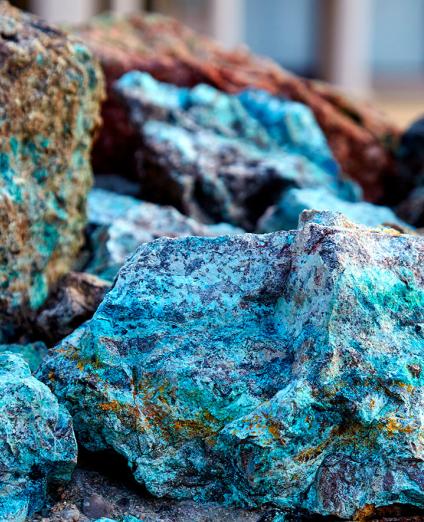
With improved geological knowledge, the authorities can respond to particular public needs (mineral resource exploitation, groundwater management, natural hazards).
Since 2017, BRGM has provided 1:50,000-scale standardised vector maps of the entire country on a regional basis. BRGM is currently assisting the DREAL to implement the "Resources" section of the Regional Quarry Plan for Bourgogne Franche-Comté.
Risks and spatial planning
Knowledge and prevention of gravity-related risks
Although the region has no high mountains, its topography means that it is exposed to numerous hazards which can be critical, particularly those related to ground movements.
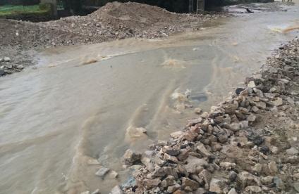
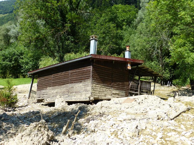
BRGM provides its expertise in characterising risks, particularly hazards related to boulder falls, mud flows, landslides, clay shrinkage and swelling, cavities and erosion.
At the departmental and local authority level, BRGM produces "ground movement" hazard maps, which are valuable planning tools for drawing up risk prevention documents. After completing multi-hazard mapping of the Belfort municipality as part of its new urban planning scheme, BRGM aims to begin hazard mapping for 6 local authorities this year. Similarly, it is contributing its technical and methodological knowledge to the production of a department-scale map of boulder fall hazards for the Doubs Department.
Managing polluted environments
BRGM is the acknowledged authority in France when it comes to designing diagnostics and developing or assessing processes for monitoring or rehabilitating polluted environments (industrial wasteland, former mining sites).
In Bourgogne Franche-Comté, BRGM provides services at the request of industrial companies and local authorities for the management of waste and polluted sites (NF X31-620): studies, assistance and inspections.
Subsurface potential for the energy transition: geothermal energy development
Geothermal energy is included in the regional ecological and energy transition policy and is a promising alternative for private homes and small public buildings.
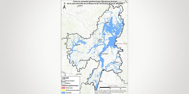
BRGM takes part in communication and training activities on low-enthalpy geothermal energy, supports local authorities (Territorial Climate-Air-Energy Plan) in drawing up geothermal potential maps (Besançon) for their areas, and assists them during the preliminary phases of large-scale projects.


