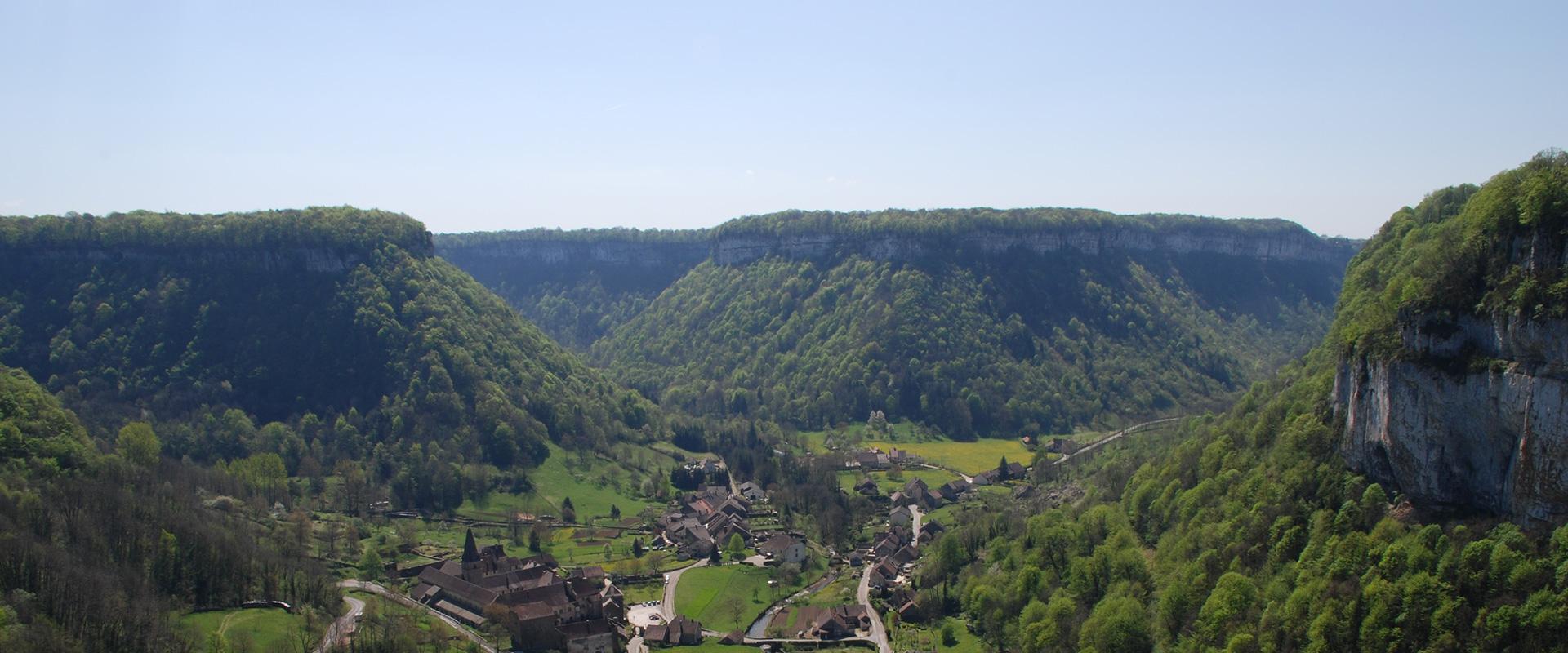
BRGM and 45-8 Energy are launching a helicopter-borne geophysical survey of the Jura foothills. The campaign is part of an ambitious R&D programme aimed at imaging the subsurface in three dimensions. The results of the campaign should enable 45-8 Energy to better characterise a potential natural helium resource as part of its activities under the exclusive licence it has been granted, to prospect in the foothills of the Franche-Comté region.
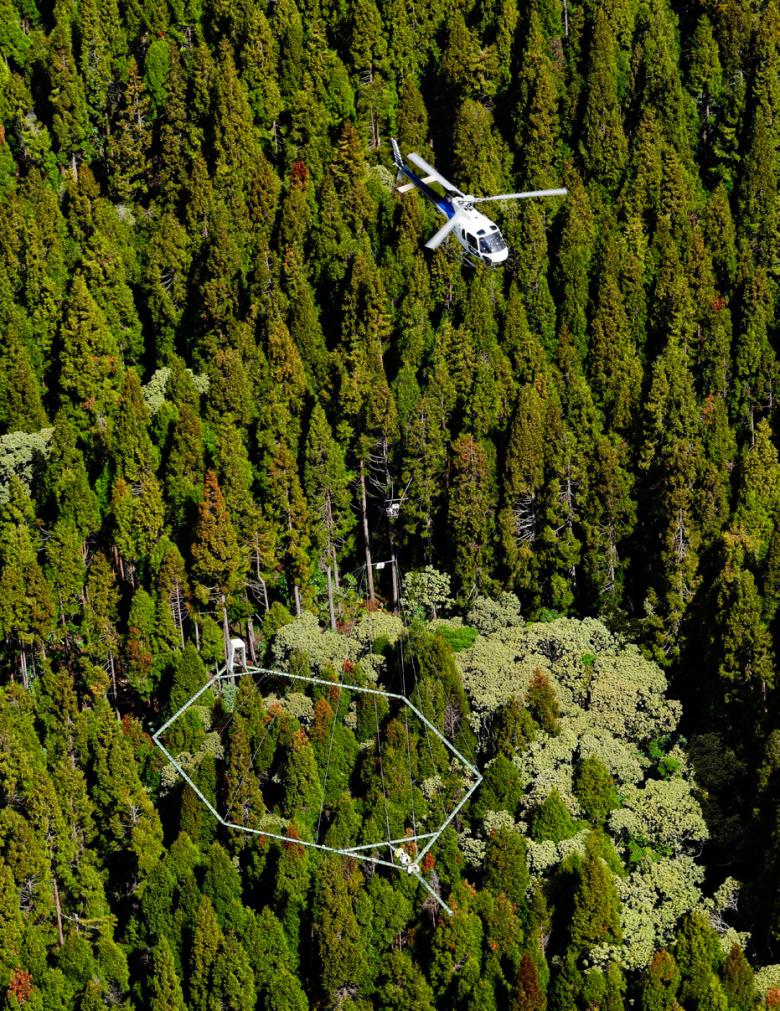
During the second half of August, a helicopter carrying a loop about 25 m in diameter will criss-cross the area to the west of Besançon, as far as Dampierre and the Massif de la Serre. This helicopter-borne operation should enable a better understanding of the structure of the region's subsurface. The helicopter will not fly over built-up areas and will have no impact on the environment or public health.
The campaign is part of a joint R&D programme between the French company, 45-8 Energy, which specialises in the exploration and production of eco-responsible industrial gases such as helium and natural hydrogen, and BRGM (the French geological survey). It will be supplemented by other geophysical fieldwork to be carried out by BRGM in the second half of 2023 to provide a seamless view of the subsurface over the entire Jura foothills to the west of Besançon.
The data acquired will undergo specific processing with a view to its interpretation. Subsurface imagery from each geophysical acquisition will shed light on the physical characteristics of the rocks beneath the surface. In addition to pre-existing knowledge and geological field surveys, all the data acquired will be combined and jointly interpreted in the form of a three-dimensional geological model, from the surface down to several hundred metres beneath it.
The campaign will be implemented by the Danish company Skytem, world leader in this type of technology. The flights will take place in lines spaced a few hundred metres apart to the west of Besançon. The helicopter will carry the geophysical device (a loop 25 m in diameter) some fifty metres above the ground, bypassing dwellings. The campaign, totalling almost 700 km of flight lines, will last about a week.
The on-board device will be used to implement two types of geophysical survey
The helicopter-borne campaign in the Jura foothills will use two geophysical methods simultaneously. The natural magnetism recorded will enable a visualisation of the magnetic properties of the rocks found in the first few hundred metres down to several kilometres below the surface, yielding information on regional geological formations and structures (faults) that affect them.
At the same time, the electromagnetic method will enable specialists to analyse the response of the subsurface to a magnetic field produced by the helicopter-borne device and thus to visualise the contrasts in electrical resistivity of the subsurface, from the surface down to a depth of around 500 to 700 metres. These contrasts will provide information about the nature of the subsurface, its porosity, its degree of weathering and any presence of clay. By combining the two methods, geophysicists will be able to reconstruct the varied characteristics of rocks in the subsurface and thus better predict the presence of geological structures capable of trapping natural helium.
To find out more
Press contact


